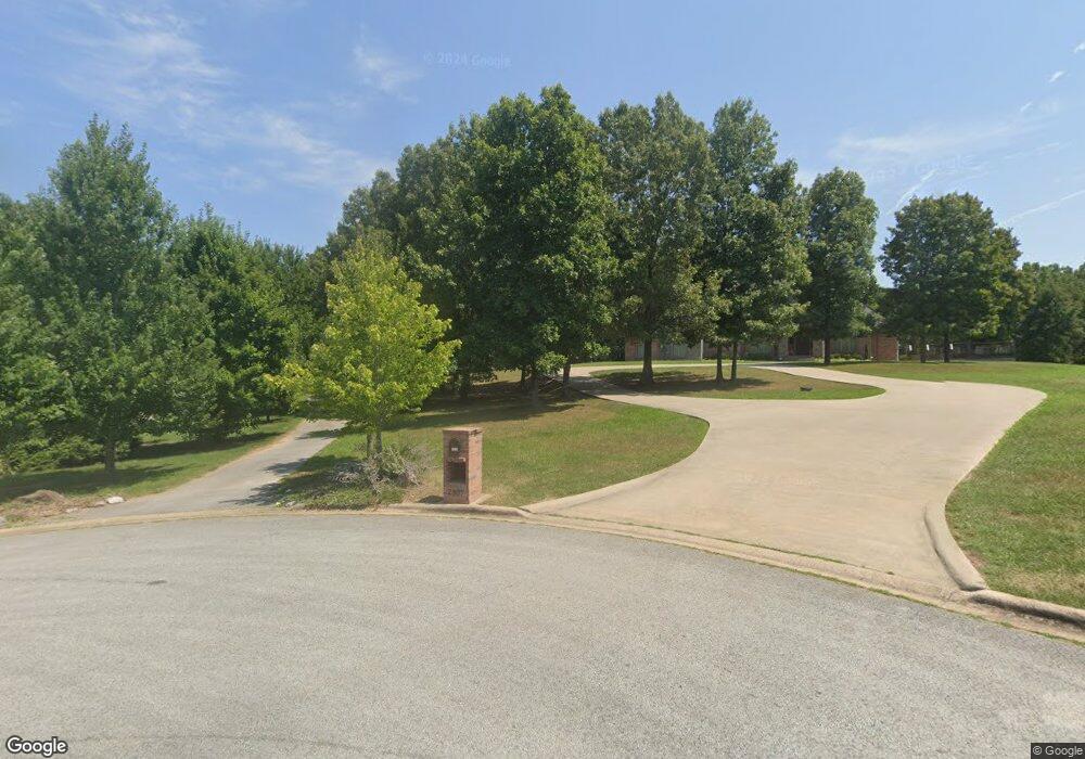
2297 Henley Dr Harrison, AR 72601
Estimated Value: $318,000 - $387,000
Studio
1
Bath
2,190
Sq Ft
$161/Sq Ft
Est. Value
About This Home
This home is located at 2297 Henley Dr, Harrison, AR 72601 and is currently estimated at $353,180, approximately $161 per square foot. 2297 Henley Dr is a home with nearby schools including Skyline Heights Elementary School and Harrison Jr. High School.
Ownership History
Date
Name
Owned For
Owner Type
Purchase Details
Closed on
Aug 3, 2007
Sold by
Brust Michael G and Brust Christine E
Bought by
White Vicki L
Current Estimated Value
Home Financials for this Owner
Home Financials are based on the most recent Mortgage that was taken out on this home.
Original Mortgage
$50,150
Outstanding Balance
$31,866
Interest Rate
6.73%
Mortgage Type
Future Advance Clause Open End Mortgage
Estimated Equity
$321,314
Purchase Details
Closed on
Oct 27, 2006
Sold by
Henley Larry D and Henley Vicki
Bought by
Brust Michael G and Brust Chrstine E
Home Financials for this Owner
Home Financials are based on the most recent Mortgage that was taken out on this home.
Original Mortgage
$51,108
Interest Rate
6.41%
Mortgage Type
Future Advance Clause Open End Mortgage
Create a Home Valuation Report for This Property
The Home Valuation Report is an in-depth analysis detailing your home's value as well as a comparison with similar homes in the area
Purchase History
| Date | Buyer | Sale Price | Title Company |
|---|---|---|---|
| White Vicki L | $54,000 | None Available | |
| Brust Michael G | $51,000 | None Available |
Source: Public Records
Mortgage History
| Date | Status | Borrower | Loan Amount |
|---|---|---|---|
| Open | White Vicki L | $50,150 | |
| Previous Owner | Brust Michael G | $51,108 |
Source: Public Records
Tax History
| Year | Tax Paid | Tax Assessment Tax Assessment Total Assessment is a certain percentage of the fair market value that is determined by local assessors to be the total taxable value of land and additions on the property. | Land | Improvement |
|---|---|---|---|---|
| 2025 | $2,095 | $52,510 | $7,830 | $44,680 |
| 2024 | $2,095 | $52,510 | $7,830 | $44,680 |
| 2023 | $2,095 | $52,510 | $7,830 | $44,680 |
| 2022 | $1,765 | $52,510 | $7,830 | $44,680 |
| 2021 | $1,765 | $52,510 | $7,830 | $44,680 |
| 2020 | $1,755 | $46,770 | $7,120 | $39,650 |
| 2019 | $1,773 | $46,770 | $7,120 | $39,650 |
| 2018 | $1,798 | $46,770 | $7,120 | $39,650 |
| 2017 | $2,095 | $46,770 | $7,120 | $39,650 |
| 2016 | $1,780 | $46,770 | $7,120 | $39,650 |
| 2015 | $2,125 | $47,430 | $7,120 | $40,310 |
| 2014 | $1,775 | $47,430 | $7,120 | $40,310 |
Source: Public Records
Map
Nearby Homes
- 1959 Henley (Lot 3) Dr
- 0 Old Capps Rd
- 1739 Goff (Lot 26) Rd
- 1669 Goff (Lot 27) Rd
- 1567 Goff (Lot 28) Rd
- 5287 Forgeson Rd
- Lot 1 Rains Rd S
- Lot 2 Rains Rd S
- 5745 Estes Rd
- Lot 3 Hawkins Rd
- Lot 4 Hawkins Rd
- Lot 5 Hawkins Rd
- 6814 Estes Rd
- 1800 Airport Rd
- 5201A Fox Run Dr
- 7226 Estes Rd
- 3605 W Hill Ave
- 307 Prestonwood St
- 0 Corner of Airport Rd & Hwy 65n Unit 146774
- 26 Ozark Dr
- 2307 Henley Dr
- 2273 Henley Dr
- 2308 Henley Dr
- 0 Henley Lot 4 Dr
- 0 Dr
- 0 Henley Lot 3 Dr
- 2300 Henley Dr
- 1950 Nix Trail
- 2097 Henley Dr
- 0 Nix (Lot 14) Trail Unit 141203
- 2021 Henley (Lot 4) Dr
- 0 Nix (Lot 13) Trail Unit H141202
- 0 Nix Trail Lot 15 Dr
- 0 Nix Trail Lot 14 Dr
- 0 Nix Trail Lot 16 Dr
- 5960 Forgeson Rd
- 0 Nix Trail Unit 116951
- 0 Nix Trail Unit 116949
- 0 Nix Trail Unit 116950
- 0 Nix Trail Unit 116948
Your Personal Tour Guide
Ask me questions while you tour the home.