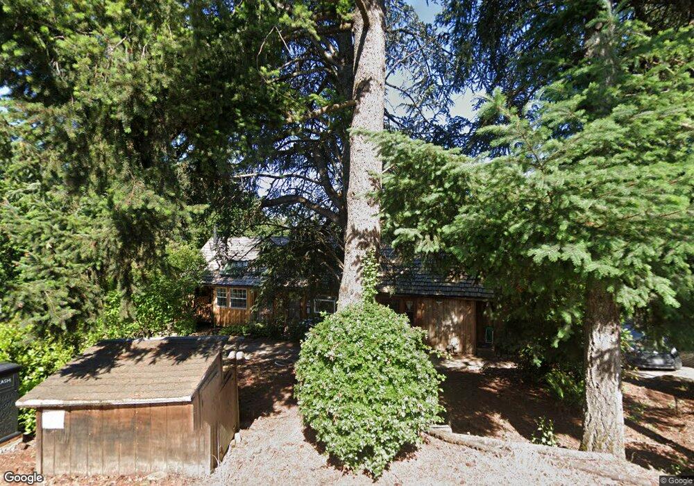
22975 Bland Cir West Linn, OR 97068
Tanner Basin NeighborhoodEstimated Value: $652,000 - $775,000
4
Beds
2
Baths
2,200
Sq Ft
$322/Sq Ft
Est. Value
About This Home
This home is located at 22975 Bland Cir, West Linn, OR 97068 and is currently estimated at $708,510, approximately $322 per square foot. 22975 Bland Cir is a home located in Clackamas County with nearby schools including Trillium Creek Primary School, Rosemont Ridge Middle School, and West Linn High School.
Ownership History
Date
Name
Owned For
Owner Type
Purchase Details
Closed on
Mar 16, 2007
Sold by
Schmid Jill D and Schmid David T
Bought by
Tarnasky William G and Tarnasky Myrna D
Current Estimated Value
Purchase Details
Closed on
Apr 13, 2001
Sold by
Mcdonald Marisa L
Bought by
Black Bernard K and Watt Black Brenda C
Home Financials for this Owner
Home Financials are based on the most recent Mortgage that was taken out on this home.
Original Mortgage
$138,750
Interest Rate
6.98%
Create a Home Valuation Report for This Property
The Home Valuation Report is an in-depth analysis detailing your home's value as well as a comparison with similar homes in the area
Home Values in the Area
Average Home Value in this Area
Purchase History
| Date | Buyer | Sale Price | Title Company |
|---|---|---|---|
| Tarnasky William G | $500,000 | None Available | |
| Black Bernard K | $185,000 | Fidelity National Title Co |
Source: Public Records
Mortgage History
| Date | Status | Borrower | Loan Amount |
|---|---|---|---|
| Previous Owner | Black Bernard K | $138,750 |
Source: Public Records
Tax History Compared to Growth
Tax History
| Year | Tax Paid | Tax Assessment Tax Assessment Total Assessment is a certain percentage of the fair market value that is determined by local assessors to be the total taxable value of land and additions on the property. | Land | Improvement |
|---|---|---|---|---|
| 2025 | $5,116 | $265,475 | -- | -- |
| 2024 | $4,925 | $257,743 | -- | -- |
| 2023 | $4,925 | $250,236 | $0 | $0 |
| 2022 | $4,648 | $242,948 | $0 | $0 |
| 2021 | $4,412 | $235,872 | $0 | $0 |
| 2020 | $4,442 | $229,002 | $0 | $0 |
| 2019 | $4,236 | $222,333 | $0 | $0 |
| 2018 | $4,047 | $215,857 | $0 | $0 |
| 2017 | $3,890 | $209,570 | $0 | $0 |
| 2016 | $3,790 | $203,466 | $0 | $0 |
| 2015 | $3,681 | $197,540 | $0 | $0 |
| 2014 | $3,544 | $191,786 | $0 | $0 |
Source: Public Records
Map
Nearby Homes
- 22998 Bland Cir
- 22994 Bland Cir
- 22990 Bland Cir
- 23000 Bland Cir
- 2134 Eleanor Rd
- Allstone Plan at Savannah Summit
- Milton Plan at Savannah Summit
- 2201 Satter St
- 2258 Satter St
- 2285 Satter St
- 22872 Weatherhill Rd
- 2540 Kilkenny Ct
- 2155 Alpine Dr
- 2485 Tipperary Ct
- 2584 Wisteria Ct
- 2050 Alpine Dr
- 2025 De Vries Way
- 2037 De Vries Way
- 23073 Bland Cir
- 23019 Bland Cir
- 22985 Bland Cir
- 22985 Bland Cir Unit 2 & 3
- 22951 Bland Cir
- 22995 Bland Cir Unit Lot 4
- 22995 Bland Cir Unit Lot 2
- 22995 Bland Cir
- 22910 Weatherhill Rd
- 23013 Bland Cir
- 2142 Eleanor Rd
- 23010 Bland Cir Unit 36455332
- 23010 Bland Cir Unit 36484292
- 23010 Bland Cir Unit 36332845
- 23010 Bland Cir
- 23004 Bland Cir
- 2113 Satter St
- 23008 Bland Cir
- 2125 Fircrest Dr
- 1940 Alpine Dr
- 2135 Fircrest Dr
- 2137 Satter St