2298 Browntown Rd Witts Springs, AR 72686
Estimated Value: $242,000 - $360,000
--
Bed
--
Bath
2,160
Sq Ft
$129/Sq Ft
Est. Value
About This Home
This home is located at 2298 Browntown Rd, Witts Springs, AR 72686 and is currently estimated at $279,348, approximately $129 per square foot. 2298 Browntown Rd is a home with nearby schools including Marshall Elementary School, Leslie Elementary School, and Marshall High School.
Ownership History
Date
Name
Owned For
Owner Type
Purchase Details
Closed on
Sep 25, 2024
Sold by
Badger Raven
Bought by
Paulsen Jesse and Paulsen Carolyn
Current Estimated Value
Purchase Details
Closed on
Jul 13, 2018
Sold by
Milburn Benjamin and Milburn Ann
Bought by
Proper Charles J and Badger Raven
Home Financials for this Owner
Home Financials are based on the most recent Mortgage that was taken out on this home.
Original Mortgage
$122,000
Interest Rate
4.5%
Mortgage Type
Purchase Money Mortgage
Purchase Details
Closed on
Jun 21, 2010
Bought by
Kirk Jerry F
Purchase Details
Closed on
May 27, 1997
Bought by
Kirk John C and Kirk David M
Purchase Details
Closed on
Jun 1, 1988
Bought by
Taylor Claude Helen R and Taylor Claude James D
Purchase Details
Closed on
Jan 1, 1910
Bought by
Taylor
Create a Home Valuation Report for This Property
The Home Valuation Report is an in-depth analysis detailing your home's value as well as a comparison with similar homes in the area
Home Values in the Area
Average Home Value in this Area
Purchase History
| Date | Buyer | Sale Price | Title Company |
|---|---|---|---|
| Paulsen Jesse | $82,000 | First National Title | |
| Paulsen Jesse | $82,000 | First National Title | |
| Proper Charles J | $160,000 | First National Title Company | |
| Kirk Jerry F | -- | -- | |
| Kirk John C | $41,000 | -- | |
| Taylor Claude Helen R | -- | -- | |
| Taylor | -- | -- |
Source: Public Records
Mortgage History
| Date | Status | Borrower | Loan Amount |
|---|---|---|---|
| Previous Owner | Proper Charles J | $122,000 |
Source: Public Records
Tax History Compared to Growth
Tax History
| Year | Tax Paid | Tax Assessment Tax Assessment Total Assessment is a certain percentage of the fair market value that is determined by local assessors to be the total taxable value of land and additions on the property. | Land | Improvement |
|---|---|---|---|---|
| 2024 | $938 | $25,120 | $1,420 | $23,700 |
| 2023 | $938 | $25,120 | $1,420 | $23,700 |
| 2022 | $565 | $25,120 | $1,420 | $23,700 |
| 2021 | $565 | $19,690 | $1,080 | $18,610 |
| 2020 | $585 | $20,110 | $1,500 | $18,610 |
| 2019 | $603 | $20,110 | $1,500 | $18,610 |
| 2018 | $628 | $20,110 | $1,500 | $18,610 |
| 2017 | $987 | $20,690 | $1,450 | $19,240 |
| 2016 | $961 | $20,690 | $1,450 | $19,240 |
| 2014 | $882 | $20,690 | $1,450 | $19,240 |
Source: Public Records
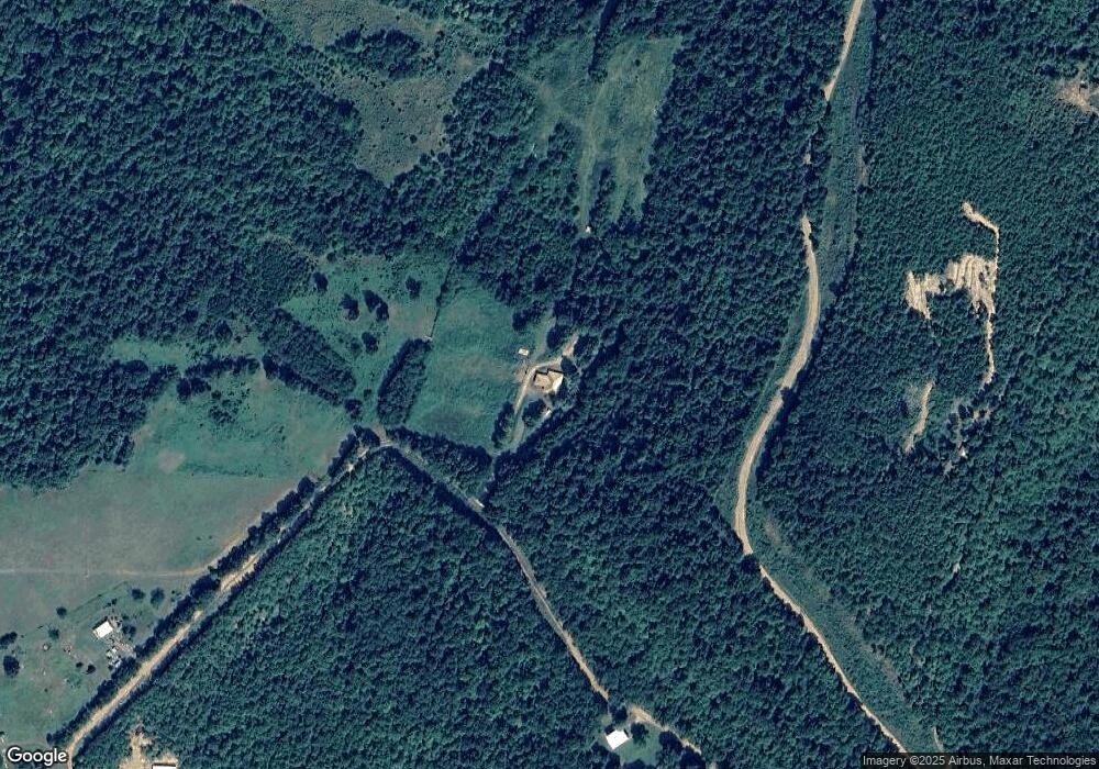
Map
Nearby Homes
- 2230 Browntown Rd
- 0 Lick Fork Rd
- 0 Lick Fork Rd Unit 25036132
- 0 Lick Fork Rd Unit LotWP001 24664164
- 12278 S Hwy 27
- 12278 Arkansas 27
- 1171 Highway 377
- 1171 Hwy 377
- TBD Lick Fork Rd
- 1826 Marsena Rd
- 242 Ida Dr
- 166 Acres Hwy 377
- 128 River Rd
- 000 W Crow Dr Hills
- 662 Star Mountain Rd
- 00000 Crow Dr
- 0 Crow Dr Unit 25022105
- 0 Crow Dr Unit 23743108
- 1018 River Rd
- 0 Tbd Unit 1308620
- Rt.3 County Rd 5
- 000 Browntown Rd
- 2451 Browntown Rd
- 1951 Browntown Rd
- 2060 Browntown Rd
- 0 Lick Fork & Airplane Ridge Rd Unit 22012249
- 496 Airplane Ridge Rd
- 1978 Browntown Rd
- 570 Airplane Ridge Rd
- 1001 Regina Dr
- 600 Airplane Ridge Rd
- 0 Airplane Ridge Rd Unit 20031491
- 7806 Lick Fork Rd
- 6631 Lick Fork Rd
- 720 Airplane Ridge Rd
- 8057 Lick Fork Rd
- 0 Snowball Unit 17019438
- 707 Airplane Ridge Rd
- 2240 Browntown Rd