22980 Buck Rd Alliance, OH 44601
Estimated Value: $278,000 - $314,000
4
Beds
3
Baths
1,904
Sq Ft
$159/Sq Ft
Est. Value
About This Home
This home is located at 22980 Buck Rd, Alliance, OH 44601 and is currently estimated at $301,832, approximately $158 per square foot. 22980 Buck Rd is a home located in Columbiana County with nearby schools including West Branch Middle School, West Branch Early Learning Center, and West Branch High School.
Ownership History
Date
Name
Owned For
Owner Type
Purchase Details
Closed on
Oct 28, 2019
Sold by
Leone Michael A and Leone Melissa F
Bought by
Michael Michael A and Michael M F
Current Estimated Value
Purchase Details
Closed on
Sep 15, 1994
Sold by
Volk Joseph J
Bought by
Leone Michael A and Leone Melissa F
Home Financials for this Owner
Home Financials are based on the most recent Mortgage that was taken out on this home.
Original Mortgage
$80,100
Interest Rate
8.44%
Mortgage Type
New Conventional
Create a Home Valuation Report for This Property
The Home Valuation Report is an in-depth analysis detailing your home's value as well as a comparison with similar homes in the area
Home Values in the Area
Average Home Value in this Area
Purchase History
| Date | Buyer | Sale Price | Title Company |
|---|---|---|---|
| Michael Michael A | -- | None Available | |
| Leone Michael A | $89,000 | -- |
Source: Public Records
Mortgage History
| Date | Status | Borrower | Loan Amount |
|---|---|---|---|
| Previous Owner | Leone Michael A | $80,100 |
Source: Public Records
Tax History Compared to Growth
Tax History
| Year | Tax Paid | Tax Assessment Tax Assessment Total Assessment is a certain percentage of the fair market value that is determined by local assessors to be the total taxable value of land and additions on the property. | Land | Improvement |
|---|---|---|---|---|
| 2024 | $2,095 | $69,870 | $9,420 | $60,450 |
| 2023 | $2,095 | $69,870 | $9,420 | $60,450 |
| 2022 | $2,247 | $69,870 | $9,420 | $60,450 |
| 2021 | $1,935 | $57,410 | $9,280 | $48,130 |
| 2020 | $1,891 | $57,410 | $9,280 | $48,130 |
| 2019 | $1,903 | $57,410 | $9,280 | $48,130 |
| 2018 | $1,788 | $52,190 | $8,440 | $43,750 |
| 2017 | $1,799 | $52,190 | $8,440 | $43,750 |
| 2016 | $1,841 | $53,730 | $8,300 | $45,430 |
| 2015 | $1,841 | $53,730 | $8,300 | $45,430 |
| 2014 | $1,815 | $53,730 | $8,300 | $45,430 |
Source: Public Records
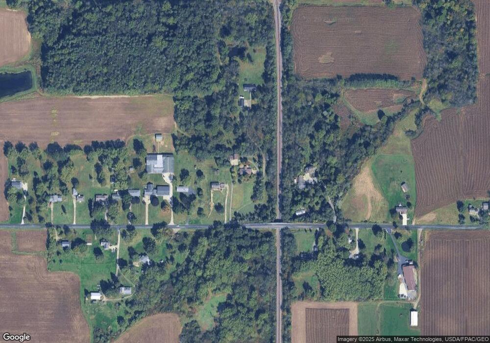
Map
Nearby Homes
- 22840 Buck Rd
- 1835 Homeworth Rd
- 1105 Abbey Ln
- 1299 E Bayton St
- 22360 Margaret Ln
- 3636 S Mahoning Ave
- 1100 E Bayton St
- 22120 Center Rd
- 540 E Bayton St
- 16159 Salem Church St NE
- 6378 Union Ave NE
- 6434 Union Ave NE
- 3709 S Union Ave
- 555 E Milton St
- 256 Laramie St
- 277 W Carol St
- 236 E Milton St
- 1846 S Freedom Ave
- 317 E State St
- 5200 Union Ave NE