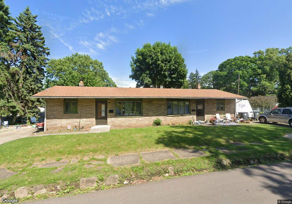
2299 Edwin Ave Unit 2303 Akron, OH 44314
Kenmore NeighborhoodEstimated Value: $122,000 - $188,000
4
Beds
2
Baths
1,525
Sq Ft
$97/Sq Ft
Est. Value
About This Home
This home is located at 2299 Edwin Ave Unit 2303, Akron, OH 44314 and is currently estimated at $147,206, approximately $96 per square foot. 2299 Edwin Ave Unit 2303 is a home located in Summit County with nearby schools including Sam Salem Community Learning Center.
Ownership History
Date
Name
Owned For
Owner Type
Purchase Details
Closed on
Jul 11, 2000
Sold by
Watts Janice M and Townsend Janice M
Bought by
Harold Sandra L
Current Estimated Value
Home Financials for this Owner
Home Financials are based on the most recent Mortgage that was taken out on this home.
Original Mortgage
$84,150
Outstanding Balance
$30,282
Interest Rate
8.31%
Mortgage Type
Purchase Money Mortgage
Estimated Equity
$116,924
Create a Home Valuation Report for This Property
The Home Valuation Report is an in-depth analysis detailing your home's value as well as a comparison with similar homes in the area
Home Values in the Area
Average Home Value in this Area
Purchase History
| Date | Buyer | Sale Price | Title Company |
|---|---|---|---|
| Harold Sandra L | $93,500 | Bond & Associates Title Agen |
Source: Public Records
Mortgage History
| Date | Status | Borrower | Loan Amount |
|---|---|---|---|
| Open | Harold Sandra L | $84,150 |
Source: Public Records
Tax History Compared to Growth
Tax History
| Year | Tax Paid | Tax Assessment Tax Assessment Total Assessment is a certain percentage of the fair market value that is determined by local assessors to be the total taxable value of land and additions on the property. | Land | Improvement |
|---|---|---|---|---|
| 2025 | $2,608 | $45,235 | $9,118 | $36,117 |
| 2024 | $2,608 | $45,235 | $9,118 | $36,117 |
| 2023 | $2,608 | $45,235 | $9,118 | $36,117 |
| 2022 | $2,053 | $27,731 | $5,562 | $22,169 |
| 2021 | $2,055 | $27,731 | $5,562 | $22,169 |
| 2020 | $2,027 | $27,730 | $5,560 | $22,170 |
| 2019 | $2,341 | $29,520 | $5,170 | $24,350 |
| 2018 | $2,312 | $29,520 | $5,170 | $24,350 |
| 2017 | $2,514 | $29,520 | $5,170 | $24,350 |
| 2016 | $2,515 | $31,810 | $5,560 | $26,250 |
| 2015 | $2,514 | $31,810 | $5,560 | $26,250 |
| 2014 | $3,220 | $31,810 | $5,560 | $26,250 |
| 2013 | $3,186 | $32,010 | $5,560 | $26,450 |
Source: Public Records
Map
Nearby Homes
- 2365 Pelton Ave
- 451 Allenford St
- 363 Lockwood St
- 355 Lockwood St
- 364 Rexford St
- 2513 Christensen Ave
- 590 Flora Ave
- 2531 Pelton Ave
- 636 Flora Ave
- 2303 6th St SW
- 75 W Dartmore Ave
- 41 W Woodsdale Ave
- 2199 6th St SW
- 55 W Ralston Ave
- 2186 5th St SW
- 2238 7th St SW
- 1861 S Main St
- 17 W Woodsdale Ave
- 23 Selden Ave
- 2785 Nesmith Lake Blvd
- 393 Celtic St
- 389 Celtic St
- 409 Celtic St
- 413 Celtic St
- 406 Westmoreland St
- 400 Westmoreland St
- 385 Celtic St
- 2290 Edwin Ave
- 392 Celtic St
- 400 Celtic St
- 379 Celtic St
- 392 Westmoreland St
- 410 Celtic St
- 424 Westmoreland St
- 414 Celtic St
- 388 Westmoreland St
- 421 Celtic St
- 375 Celtic St
- 418 Celtic St
- 384 Celtic St