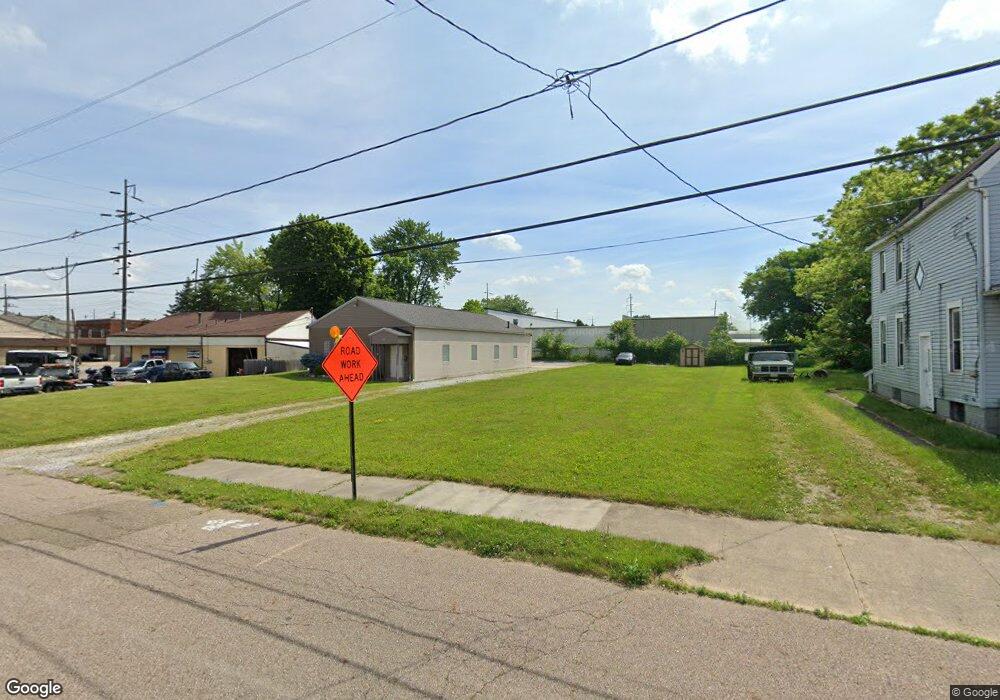
23 10th St SW Barberton, OH 44203
Estimated Value: $80,000 - $299,000
3
Beds
1
Bath
897
Sq Ft
$198/Sq Ft
Est. Value
About This Home
This home is located at 23 10th St SW, Barberton, OH 44203 and is currently estimated at $177,333, approximately $197 per square foot. 23 10th St SW is a home located in Summit County with nearby schools including Barberton Middle School, Barberton High School, and St Augustine Elementary School.
Ownership History
Date
Name
Owned For
Owner Type
Purchase Details
Closed on
Nov 25, 2019
Sold by
The City Of Barberton
Bought by
B Garrett Properties Llc
Current Estimated Value
Purchase Details
Closed on
Oct 12, 2018
Sold by
The Summit County Land Reutilization Cor
Bought by
City Of Barrerton
Purchase Details
Closed on
Aug 2, 2017
Sold by
Anderson John and Scalise Kristen M
Bought by
The Summit Country Land Reutilizaton Cor
Purchase Details
Closed on
Jun 14, 2004
Sold by
Adamson Dave L and Adamson Sandra K
Bought by
Anderson John E
Home Financials for this Owner
Home Financials are based on the most recent Mortgage that was taken out on this home.
Original Mortgage
$34,200
Interest Rate
6.17%
Mortgage Type
Unknown
Purchase Details
Closed on
Dec 1, 2000
Sold by
Revlett Charles R
Bought by
Adamson Dave L and Adamson Sandra K
Create a Home Valuation Report for This Property
The Home Valuation Report is an in-depth analysis detailing your home's value as well as a comparison with similar homes in the area
Home Values in the Area
Average Home Value in this Area
Purchase History
| Date | Buyer | Sale Price | Title Company |
|---|---|---|---|
| B Garrett Properties Llc | $5,600 | Chicago Title Insurance Co | |
| City Of Barrerton | -- | None Available | |
| The Summit Country Land Reutilizaton Cor | -- | None Available | |
| Anderson John E | $30,000 | Guardian Title | |
| Adamson Dave L | $16,000 | C & J Title Agency Inc |
Source: Public Records
Mortgage History
| Date | Status | Borrower | Loan Amount |
|---|---|---|---|
| Previous Owner | Anderson John E | $34,200 |
Source: Public Records
Tax History Compared to Growth
Tax History
| Year | Tax Paid | Tax Assessment Tax Assessment Total Assessment is a certain percentage of the fair market value that is determined by local assessors to be the total taxable value of land and additions on the property. | Land | Improvement |
|---|---|---|---|---|
| 2025 | $388 | $7,564 | $7,564 | -- |
| 2024 | $388 | $7,564 | $7,564 | -- |
| 2023 | $388 | $7,564 | $7,564 | $0 |
| 2022 | $309 | $5,215 | $5,215 | $0 |
| 2021 | $309 | $5,215 | $5,215 | $0 |
| 2020 | $302 | $5,220 | $5,220 | $0 |
| 2019 | $134 | $2,090 | $2,090 | $0 |
| 2018 | $0 | $2,090 | $2,090 | $0 |
| 2017 | $989 | $11,960 | $2,090 | $9,870 |
| 2016 | $1,252 | $11,830 | $2,090 | $9,740 |
| 2015 | $989 | $11,830 | $2,090 | $9,740 |
| 2014 | $751 | $11,830 | $2,090 | $9,740 |
| 2013 | $751 | $12,270 | $2,090 | $10,180 |
Source: Public Records
Map
Nearby Homes
- 679 Wooster Rd W
- 673 Wooster Rd W
- 236 14th St NW
- 64 Diamond Ave
- 564 W Hopocan Ave
- 610 Creedmore Ave
- 243 19th St NW
- 583 Creedmore Ave
- 1080 Belleview Ave
- 376 Hillsdale Ave
- 38 24th St NW
- 387 4th St NW
- 25 S Van Buren Ave
- 1099 Prospect St
- 43 S Van Buren Ave
- 96 Helen St
- 1125 Prospect St
- 46 Brown St
- 39 Brown St
- 1274 Auburn Ave