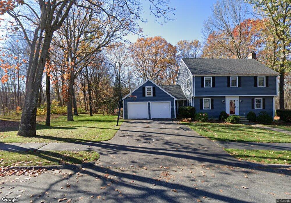
23 Arbor Dr Shrewsbury, MA 01545
Estimated Value: $756,379 - $836,000
4
Beds
3
Baths
1,842
Sq Ft
$431/Sq Ft
Est. Value
About This Home
This home is located at 23 Arbor Dr, Shrewsbury, MA 01545 and is currently estimated at $794,345, approximately $431 per square foot. 23 Arbor Dr is a home located in Worcester County with nearby schools including Floral Street School, Sherwood Middle School, and Oak Middle School.
Ownership History
Date
Name
Owned For
Owner Type
Purchase Details
Closed on
May 23, 1997
Sold by
Gorman Stephen A and Gorman Tamara T
Bought by
Glynn Colleen S
Current Estimated Value
Purchase Details
Closed on
Aug 1, 1994
Sold by
John F Corcoran Co Inc
Bought by
Gorman Stephen A and Gorman Tamara
Create a Home Valuation Report for This Property
The Home Valuation Report is an in-depth analysis detailing your home's value as well as a comparison with similar homes in the area
Home Values in the Area
Average Home Value in this Area
Purchase History
| Date | Buyer | Sale Price | Title Company |
|---|---|---|---|
| Glynn Colleen S | $202,000 | -- | |
| Glynn Colleen S | $202,000 | -- | |
| Gorman Stephen A | $187,000 | -- |
Source: Public Records
Mortgage History
| Date | Status | Borrower | Loan Amount |
|---|---|---|---|
| Open | Gorman Stephen A | $180,000 | |
| Closed | Gorman Stephen A | $20,000 | |
| Closed | Gorman Stephen A | $161,000 |
Source: Public Records
Tax History
| Year | Tax Paid | Tax Assessment Tax Assessment Total Assessment is a certain percentage of the fair market value that is determined by local assessors to be the total taxable value of land and additions on the property. | Land | Improvement |
|---|---|---|---|---|
| 2025 | $88 | $727,100 | $295,700 | $431,400 |
| 2024 | $8,651 | $698,800 | $281,600 | $417,200 |
| 2023 | $8,218 | $626,400 | $281,600 | $344,800 |
| 2022 | $7,234 | $512,700 | $221,300 | $291,400 |
| 2021 | $6,507 | $493,300 | $221,300 | $272,000 |
| 2020 | $6,151 | $493,300 | $221,300 | $272,000 |
| 2019 | $5,880 | $467,800 | $207,300 | $260,500 |
| 2018 | $5,872 | $463,800 | $195,800 | $268,000 |
| 2017 | $5,510 | $429,500 | $177,500 | $252,000 |
| 2016 | $5,513 | $424,100 | $166,600 | $257,500 |
| 2015 | $5,549 | $420,400 | $162,900 | $257,500 |
Source: Public Records
Map
Nearby Homes
- 48 Bumble Bee Cir
- 24 Lebeaux Dr
- 65 Commons Dr Unit 506
- 85 Commons Dr Unit 210
- 98R Walnut St
- 19 Greenwood Ave
- 7 Green St Unit 101
- 7 Green St Unit 103
- 7 Green St Unit 109
- 7 Green St Unit 107
- 7 Green St Unit 108
- 7 Green St Unit 202
- 7 Green St Unit 104
- 7 Green St Unit 110
- 65 Brookdale Cir
- 15 Emerald Run Unit 10
- 20 Emerald Run Unit 59
- 8 Emerald Run Unit 65
- 14 Emerald Run Unit 62
- 18 Emerald Run Unit 60
Your Personal Tour Guide
Ask me questions while you tour the home.