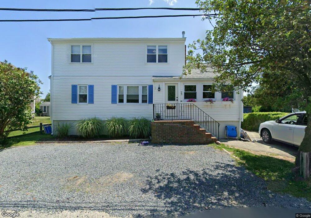
23 Arkansas St Marshfield, MA 02050
Ocean Bluff-Brant Rock NeighborhoodEstimated Value: $609,000 - $710,000
3
Beds
2
Baths
1,535
Sq Ft
$427/Sq Ft
Est. Value
About This Home
This home is located at 23 Arkansas St, Marshfield, MA 02050 and is currently estimated at $655,722, approximately $427 per square foot. 23 Arkansas St is a home located in Plymouth County with nearby schools including Daniel Webster, Furnace Brook Middle School, and Marshfield High School.
Ownership History
Date
Name
Owned For
Owner Type
Purchase Details
Closed on
Aug 9, 2024
Sold by
Logan James J and Logan Christine M
Bought by
Logan James J and Logan Christine M
Current Estimated Value
Purchase Details
Closed on
Sep 30, 1999
Sold by
Busi Joseph A
Bought by
Logan James J and Lester Christine M
Create a Home Valuation Report for This Property
The Home Valuation Report is an in-depth analysis detailing your home's value as well as a comparison with similar homes in the area
Home Values in the Area
Average Home Value in this Area
Purchase History
| Date | Buyer | Sale Price | Title Company |
|---|---|---|---|
| Logan James J | $136,000 | -- | |
| Logan James J | $136,000 | -- | |
| Logan James J | $163,000 | -- | |
| Logan James J | $163,000 | -- |
Source: Public Records
Mortgage History
| Date | Status | Borrower | Loan Amount |
|---|---|---|---|
| Previous Owner | Logan James J | $167,500 | |
| Previous Owner | Logan James J | $75,000 | |
| Previous Owner | Logan James J | $169,000 |
Source: Public Records
Tax History Compared to Growth
Tax History
| Year | Tax Paid | Tax Assessment Tax Assessment Total Assessment is a certain percentage of the fair market value that is determined by local assessors to be the total taxable value of land and additions on the property. | Land | Improvement |
|---|---|---|---|---|
| 2025 | $5,383 | $543,700 | $318,300 | $225,400 |
| 2024 | $5,236 | $503,900 | $298,400 | $205,500 |
| 2023 | $4,893 | $444,000 | $268,500 | $175,500 |
| 2022 | $4,893 | $377,800 | $228,700 | $149,100 |
| 2021 | $4,644 | $352,100 | $218,800 | $133,300 |
| 2020 | $4,296 | $322,300 | $189,000 | $133,300 |
| 2019 | $4,200 | $313,900 | $189,000 | $124,900 |
| 2018 | $4,115 | $307,800 | $189,000 | $118,800 |
| 2017 | $3,913 | $285,200 | $179,000 | $106,200 |
| 2016 | $3,753 | $270,400 | $169,100 | $101,300 |
| 2015 | $3,594 | $270,400 | $169,100 | $101,300 |
| 2014 | $3,489 | $262,500 | $169,100 | $93,400 |
Source: Public Records
Map
Nearby Homes
- 27 Arkansas St
- 19 Arkansas St
- 31 Arkansas St
- 20 Arkansas St
- 37 Arkansas St
- 14 Arkansas St Unit 14
- 14 Arkansas St Unit 1
- 14 Arkansas St
- 783 Ocean St
- 777 Ocean St
- 789 Ocean St
- 771 Ocean St
- 10 Arkansas St
- 10 Arkansas St Unit 1
- 785 Ocean St
- 785 Ocean St Unit 1
- 769 Ocean St Unit 1
- 769 Ocean St
- 454 Plymouth Ave
- 23 Hutchinson Rd