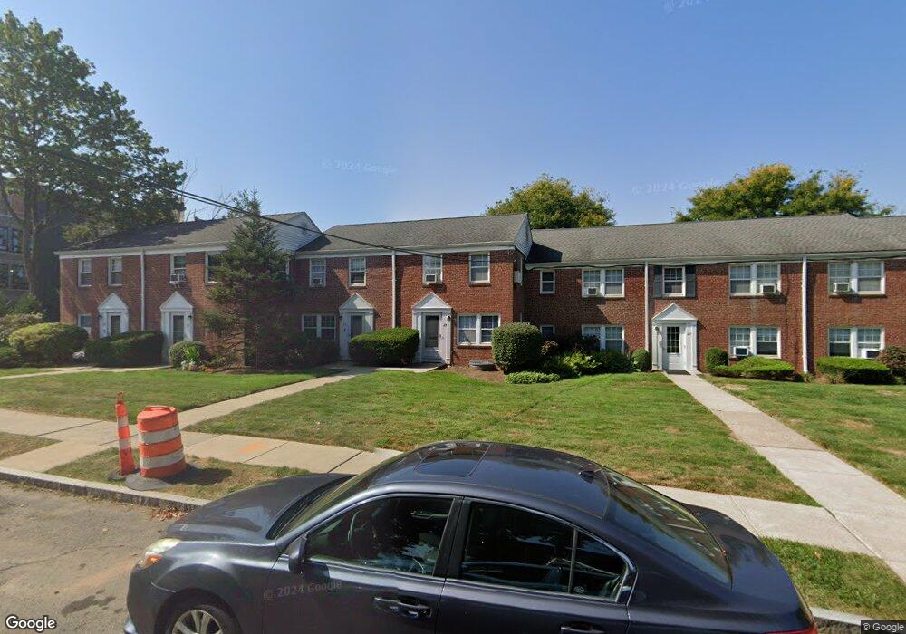
23 Arnold Way West Hartford, CT 06119
Estimated Value: $210,000 - $243,000
2
Beds
1
Bath
768
Sq Ft
$298/Sq Ft
Est. Value
About This Home
This home is located at 23 Arnold Way, West Hartford, CT 06119 and is currently estimated at $229,061, approximately $298 per square foot. 23 Arnold Way is a home located in Hartford County with nearby schools including Morley School, King Philip Middle School, and Hall High School.
Ownership History
Date
Name
Owned For
Owner Type
Purchase Details
Closed on
Aug 22, 2025
Sold by
Kritzman Mark D and Lyons Amneris
Bought by
Kritzman Mark D and Mora Alicia
Current Estimated Value
Purchase Details
Closed on
May 24, 2010
Sold by
Perosino June E and Hammond Gayle
Bought by
Lyons Amneris and Kritzman Mark D
Home Financials for this Owner
Home Financials are based on the most recent Mortgage that was taken out on this home.
Original Mortgage
$80,000
Interest Rate
5.23%
Create a Home Valuation Report for This Property
The Home Valuation Report is an in-depth analysis detailing your home's value as well as a comparison with similar homes in the area
Home Values in the Area
Average Home Value in this Area
Purchase History
| Date | Buyer | Sale Price | Title Company |
|---|---|---|---|
| Kritzman Mark D | -- | -- | |
| Lyons Amneris | $140,000 | -- | |
| Perosino June E | -- | -- | |
| Perosino June E | -- | -- |
Source: Public Records
Mortgage History
| Date | Status | Borrower | Loan Amount |
|---|---|---|---|
| Previous Owner | Perosino June E | $80,000 | |
| Previous Owner | Perosino June E | $74,065 |
Source: Public Records
Tax History Compared to Growth
Tax History
| Year | Tax Paid | Tax Assessment Tax Assessment Total Assessment is a certain percentage of the fair market value that is determined by local assessors to be the total taxable value of land and additions on the property. | Land | Improvement |
|---|---|---|---|---|
| 2025 | $5,053 | $112,840 | $0 | $112,840 |
| 2024 | $4,779 | $112,840 | $0 | $112,840 |
| 2023 | $4,617 | $112,840 | $0 | $112,840 |
| 2022 | $4,590 | $112,840 | $0 | $112,840 |
| 2021 | $4,309 | $101,570 | $0 | $101,570 |
| 2020 | $4,316 | $103,250 | $0 | $103,250 |
| 2019 | $4,316 | $103,250 | $0 | $103,250 |
| 2018 | $4,233 | $103,250 | $0 | $103,250 |
| 2017 | $4,237 | $103,250 | $0 | $103,250 |
| 2016 | $3,842 | $97,230 | $0 | $97,230 |
| 2015 | $3,725 | $97,230 | $0 | $97,230 |
| 2014 | $3,633 | $97,230 | $0 | $97,230 |
Source: Public Records
Map
Nearby Homes
- 31 Robin Rd Unit 102
- 18 Robin Rd Unit 1
- 889 Farmington Ave Unit 4E
- 97 Robin Rd
- 1110 Trout Brook Dr
- 119 Robin Rd
- 42 N Main St Unit 78
- 126 Robin Rd
- 183 Loomis Dr Unit 104
- 40 Garden Ln
- 120 Ardmore Rd
- 37 Sylvan Ave
- 51 Bretton Rd
- 53 Quaker Ln S
- 89 N Main St
- 4 Frederick Rd
- 101 N Main St
- 473 Fern St
- 16 Lilley Rd
- 2 Arapahoe Rd Unit 308
- 23 Arnold Way Unit 23
- 25 Arnold Way Unit A
- 25 Arnold Way
- 25 Arnold Way Unit 25A
- 27 Arnold Way Unit A
- 27 Arnold Way
- 17 Arnold Way
- 17 Arnold Way Unit 17
- 29 Arnold Way Unit A
- 29 Arnold Way
- 30 Arnold Way Unit A
- 30 Arnold Way
- 30 Arnold Way Unit 30-2
- 30 Arnold Way Unit 2
- 26B Arnold Way Unit 26B
- 31 Arnold Way Unit A
- 31 Arnold Way
- 31 Arnold Way Unit 31
- 32 Arnold Way Unit A
- 32 Arnold Way