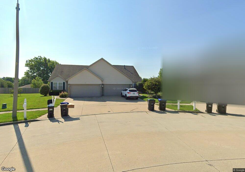
23 Ashling Ct Bloomington, IL 61704
Estimated Value: $259,000 - $276,000
3
Beds
4
Baths
3,302
Sq Ft
$82/Sq Ft
Est. Value
About This Home
This home is located at 23 Ashling Ct, Bloomington, IL 61704 and is currently estimated at $270,325, approximately $81 per square foot. 23 Ashling Ct is a home located in McLean County with nearby schools including Stevenson Elementary School, Bloomington Junior High School, and Bloomington High School.
Ownership History
Date
Name
Owned For
Owner Type
Purchase Details
Closed on
Jun 18, 2013
Sold by
Walters Ben E and Walters Susan K
Bought by
Gump Timothy and Gump Beth
Current Estimated Value
Home Financials for this Owner
Home Financials are based on the most recent Mortgage that was taken out on this home.
Original Mortgage
$151,200
Outstanding Balance
$107,267
Interest Rate
3.43%
Estimated Equity
$163,058
Purchase Details
Closed on
Nov 13, 2009
Sold by
Dodge N P
Bought by
Walters Ben E and Walters Susan K
Purchase Details
Closed on
Oct 20, 2009
Sold by
Palmer Gina D
Bought by
Dodge N P and National Equity Inc
Purchase Details
Closed on
May 23, 2008
Sold by
Coontz Herbert W and Coontz Iva J
Bought by
Palmer Gina D
Home Financials for this Owner
Home Financials are based on the most recent Mortgage that was taken out on this home.
Original Mortgage
$189,000
Interest Rate
5.93%
Create a Home Valuation Report for This Property
The Home Valuation Report is an in-depth analysis detailing your home's value as well as a comparison with similar homes in the area
Purchase History
| Date | Buyer | Sale Price | Title Company |
|---|---|---|---|
| Gump Timothy | $189,000 | Alliance Land Title | |
| Walters Ben E | $186,500 | Frontier Title Co | |
| Dodge N P | $186,500 | None Available | |
| Palmer Gina D | $189,000 | Chicago Title Insurance Co |
Source: Public Records
Mortgage History
| Date | Status | Borrower | Loan Amount |
|---|---|---|---|
| Open | Gump Timothy | $151,200 | |
| Previous Owner | Palmer Gina D | $189,000 |
Source: Public Records
Tax History
| Year | Tax Paid | Tax Assessment Tax Assessment Total Assessment is a certain percentage of the fair market value that is determined by local assessors to be the total taxable value of land and additions on the property. | Land | Improvement |
|---|---|---|---|---|
| 2024 | $4,823 | $81,063 | $11,167 | $69,896 |
| 2022 | $4,823 | $62,750 | $8,643 | $54,107 |
| 2021 | $4,363 | $57,336 | $7,897 | $49,439 |
| 2020 | $4,098 | $54,347 | $7,485 | $46,862 |
| 2019 | $4,086 | $54,347 | $7,485 | $46,862 |
| 2018 | $4,148 | $55,282 | $7,614 | $47,668 |
| 2017 | $4,149 | $55,282 | $7,614 | $47,668 |
| 2016 | $4,202 | $55,993 | $7,712 | $48,281 |
| 2015 | $4,190 | $55,993 | $7,712 | $48,281 |
| 2014 | $4,057 | $55,993 | $7,712 | $48,281 |
| 2013 | -- | $55,993 | $7,712 | $48,281 |
Source: Public Records
Map
Nearby Homes
- 404 Chelsea Dr
- 4 Scofield Ct
- 317 Waterford Estates Dr
- 2814 Richard Rd
- 28 Chatsford Ct
- 3009 E Oakland Ave
- 607 Old Farm Rd
- 9 Blue Lake Ct
- 110 S Hershey Rd
- 63 Brookshire Green
- 5 Pembrook Cir
- 29 Brandywine Ct
- 10 Prenzler Dr
- 6 Stonebrook Ct
- 2501 Yorktown Dr
- 418 Standish Dr
- 5 Andy Ct Unit 4
- 8 Minks Ct
- 3514 Wilder Dr
- 47 Stonebrook Ct
Your Personal Tour Guide
Ask me questions while you tour the home.