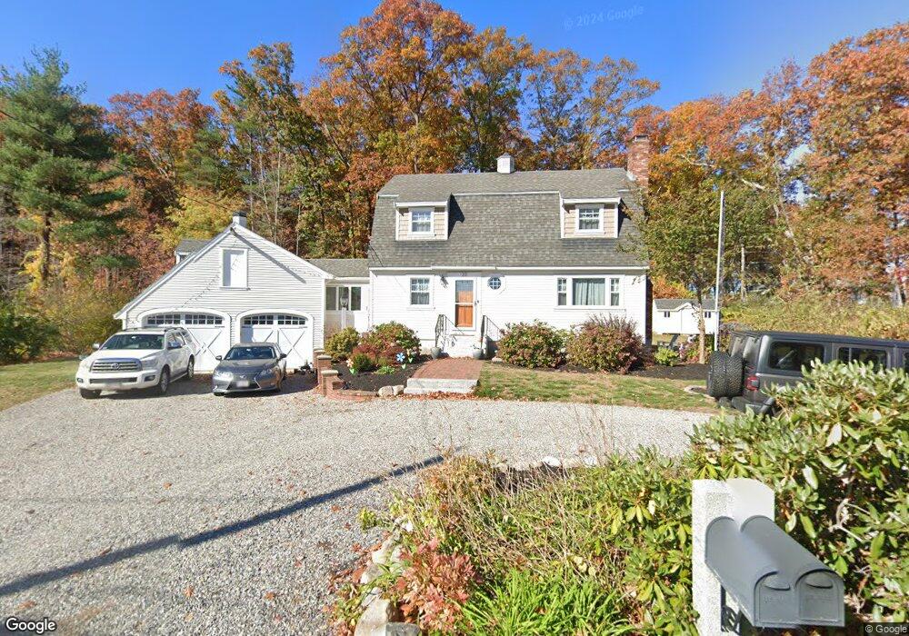
23 Birchmeadow Rd Amesbury, MA 01913
Estimated Value: $643,948 - $724,000
3
Beds
3
Baths
1,428
Sq Ft
$477/Sq Ft
Est. Value
About This Home
This home is located at 23 Birchmeadow Rd, Amesbury, MA 01913 and is currently estimated at $680,487, approximately $476 per square foot. 23 Birchmeadow Rd is a home located in Essex County with nearby schools including Amesbury High School and Amesbury Seventh-Day Adventist School.
Ownership History
Date
Name
Owned For
Owner Type
Purchase Details
Closed on
Sep 9, 2014
Sold by
Evans Nathan D
Bought by
Evans Nathan D and Evans Lynsey C
Current Estimated Value
Home Financials for this Owner
Home Financials are based on the most recent Mortgage that was taken out on this home.
Original Mortgage
$280,000
Outstanding Balance
$90,484
Interest Rate
4.12%
Mortgage Type
New Conventional
Estimated Equity
$590,003
Purchase Details
Closed on
Feb 11, 2011
Sold by
Sirois Marle A
Bought by
Merle A Sirois Ret
Create a Home Valuation Report for This Property
The Home Valuation Report is an in-depth analysis detailing your home's value as well as a comparison with similar homes in the area
Home Values in the Area
Average Home Value in this Area
Purchase History
| Date | Buyer | Sale Price | Title Company |
|---|---|---|---|
| Evans Nathan D | -- | -- | |
| Merle A Sirois Ret | -- | -- | |
| Merle A Sirois Ret | -- | -- |
Source: Public Records
Mortgage History
| Date | Status | Borrower | Loan Amount |
|---|---|---|---|
| Open | Evans Nathan D | $280,000 |
Source: Public Records
Tax History Compared to Growth
Tax History
| Year | Tax Paid | Tax Assessment Tax Assessment Total Assessment is a certain percentage of the fair market value that is determined by local assessors to be the total taxable value of land and additions on the property. | Land | Improvement |
|---|---|---|---|---|
| 2025 | $8,264 | $540,100 | $229,300 | $310,800 |
| 2024 | $8,211 | $525,000 | $223,700 | $301,300 |
| 2023 | $7,657 | $468,600 | $203,300 | $265,300 |
| 2022 | $7,072 | $399,800 | $162,700 | $237,100 |
| 2021 | $6,984 | $382,700 | $162,700 | $220,000 |
| 2020 | $6,339 | $369,000 | $162,700 | $206,300 |
| 2019 | $6,503 | $354,000 | $154,900 | $199,100 |
| 2018 | $6,274 | $330,400 | $147,400 | $183,000 |
| 2017 | $6,955 | $348,600 | $172,000 | $176,600 |
| 2016 | $6,980 | $344,200 | $172,000 | $172,200 |
| 2015 | $6,897 | $335,800 | $172,000 | $163,800 |
| 2014 | $6,796 | $324,100 | $172,000 | $152,100 |
Source: Public Records
Map
Nearby Homes
- 1 Tuxbury Ln
- 152 Kimball Rd
- 2 Alnette Rd
- 3 Greystone Rd
- 4 Acadia Kimball Rd
- 1 Acadia Kimball Rd Unit 1
- 160 Haverhill Rd
- 10 Sharon Cir
- 3 B St
- 6 B St
- 61 E Main St
- 21 Currier St
- 49 Church St
- 18 Harriman Rd
- 20 Mason Ct
- 10 Mason Ct Unit 10
- 21-23 E Main St
- 188 Lions Mouth Rd
- 34 Emery St
- 5 Moncrief St Unit 5
- 25 Birchmeadow Rd
- 26 Birchmeadow Rd
- 21 Birchmeadow Rd
- 22 Birchmeadow Rd
- 28 Birchmeadow Rd
- 4 Brookside Ln
- 6 Brookside Ln
- 27 Birchmeadow Rd
- 20 Birchmeadow Rd
- 8 Brookside Ln
- 2 Birch Ln
- 2 Birch Ln Unit A
- 2 Brookside Ln
- 30 Birchmeadow Rd
- 30 Birchmeadow Rd Unit 1
- 18 Birchmeadow Rd
- 4 Birch Ln
- 3 Birch Ln
- 16 Birchmeadow Rd
- 29 Birchmeadow Rd