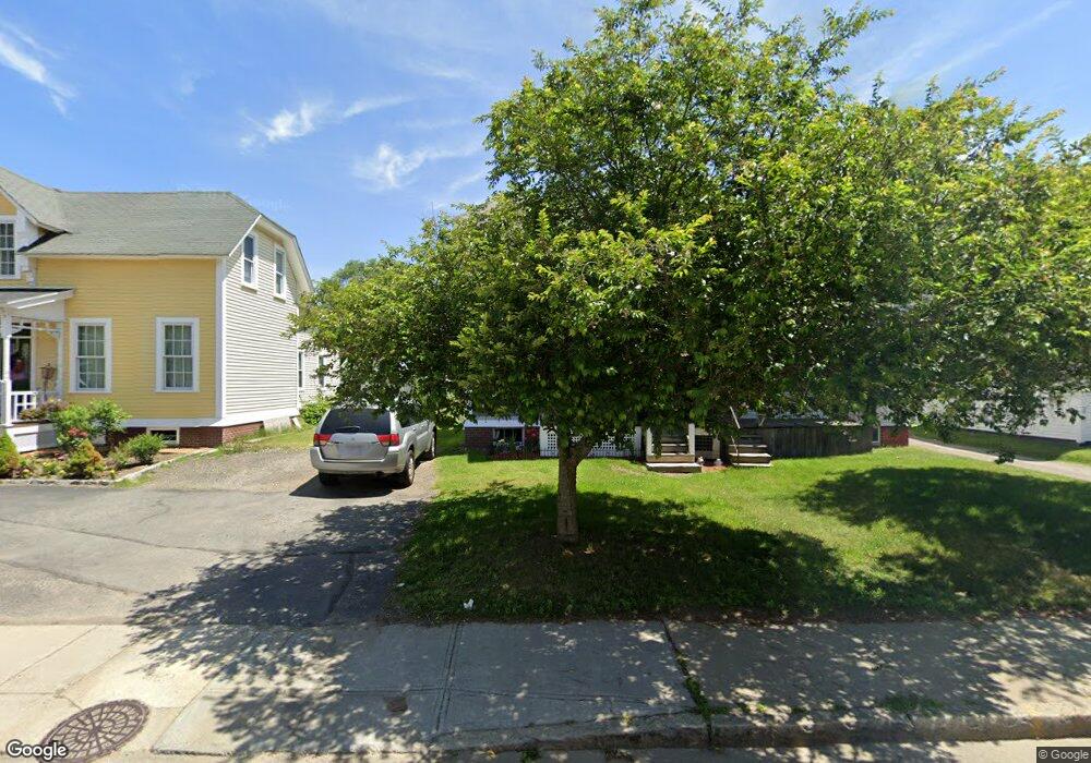
23 Blackstone River Rd Unit 2 Worcester, MA 01607
North Quinsigamond Village NeighborhoodEstimated Value: $246,000 - $452,000
1
Bed
1
Bath
500
Sq Ft
$682/Sq Ft
Est. Value
About This Home
This home is located at 23 Blackstone River Rd Unit 2, Worcester, MA 01607 and is currently estimated at $340,830, approximately $681 per square foot. 23 Blackstone River Rd Unit 2 is a home located in Worcester County with nearby schools including Quinsigamond School, Jacob Hiatt Magnet School, and Chandler Magnet.
Ownership History
Date
Name
Owned For
Owner Type
Purchase Details
Closed on
Mar 3, 2005
Sold by
Jablonski Sally E
Bought by
Herbert Berg Florist I
Current Estimated Value
Purchase Details
Closed on
Dec 30, 2003
Sold by
Herbert Berg Florist I
Bought by
Jablonski Sally E
Create a Home Valuation Report for This Property
The Home Valuation Report is an in-depth analysis detailing your home's value as well as a comparison with similar homes in the area
Home Values in the Area
Average Home Value in this Area
Purchase History
| Date | Buyer | Sale Price | Title Company |
|---|---|---|---|
| Herbert Berg Florist I | -- | -- | |
| Jablonski Sally E | $44,000 | -- | |
| Jablonski Sally E | $44,000 | -- |
Source: Public Records
Tax History Compared to Growth
Tax History
| Year | Tax Paid | Tax Assessment Tax Assessment Total Assessment is a certain percentage of the fair market value that is determined by local assessors to be the total taxable value of land and additions on the property. | Land | Improvement |
|---|---|---|---|---|
| 2025 | $3,788 | $287,200 | $116,700 | $170,500 |
| 2024 | $3,692 | $268,500 | $116,700 | $151,800 |
| 2023 | $3,424 | $238,800 | $101,500 | $137,300 |
| 2022 | $3,091 | $203,200 | $81,200 | $122,000 |
| 2021 | $2,665 | $163,700 | $64,900 | $98,800 |
| 2020 | $2,574 | $151,400 | $64,900 | $86,500 |
| 2019 | $2,549 | $141,600 | $58,400 | $83,200 |
| 2018 | $2,545 | $134,600 | $58,400 | $76,200 |
| 2017 | $2,472 | $128,600 | $58,400 | $70,200 |
| 2016 | $2,300 | $111,600 | $42,600 | $69,000 |
| 2015 | $2,240 | $111,600 | $42,600 | $69,000 |
| 2014 | $2,181 | $111,600 | $42,600 | $69,000 |
Source: Public Records
Map
Nearby Homes
- 17 Thenius St
- 78 Greenwood St
- 11 Gibbs St Unit 12
- 10 Steele St
- 47 Gibbs St
- 29 Steele St
- 55 Tennyson St
- 26 Maxwell St
- 74 Esther St
- 72 Sophia Dr
- 32 Ames St
- 28 Bittersweet Blvd
- Lot 1 Stockton St
- 30 Davenport St
- 2 Mystic St
- 8 Taunton St
- 42 Bridgeport St
- 10 Rutledge St Unit 3G
- 405 Granite St
- 58 Granite St
- 25 Blackstone River Rd
- 23 Blackstone River Rd
- 19 Blackstone River Rd
- 29 Blackstone River Rd
- 15 Blackstone River Rd
- 20 Blackstone River Rd
- 20 Blackstone River Rd Unit 3
- 26 Blackstone River Rd Unit 28
- 35 Blackstone River Rd
- 34 Blackstone River Rd Unit 7
- 34 Blackstone River Rd Unit 8
- 34 Blackstone River Rd Unit 13
- 34 Blackstone River Rd
- 857 Millbury St
- 3 Falmouth St
- 44 Blackstone River Rd Unit 3
- 44 Blackstone River Rd
- 37 Blackstone River Rd
- 32 Blackstone River Rd Unit 38
- 5A Falmouth St