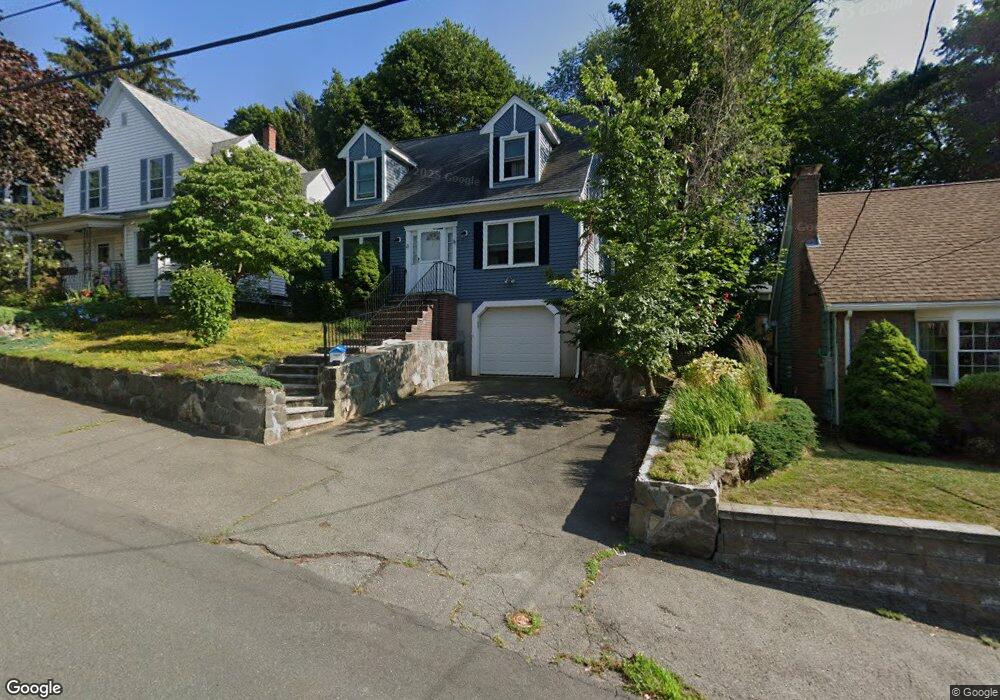
23 Bristol Ave Swampscott, MA 01907
Estimated Value: $712,000 - $775,000
3
Beds
2
Baths
1,456
Sq Ft
$507/Sq Ft
Est. Value
About This Home
This home is located at 23 Bristol Ave, Swampscott, MA 01907 and is currently estimated at $738,686, approximately $507 per square foot. 23 Bristol Ave is a home located in Essex County with nearby schools including Swampscott Middle School and Swampscott High School.
Ownership History
Date
Name
Owned For
Owner Type
Purchase Details
Closed on
Jun 26, 2003
Sold by
Levitan Joy Schulte
Bought by
Levy Robert J and Levy Nicole B
Current Estimated Value
Home Financials for this Owner
Home Financials are based on the most recent Mortgage that was taken out on this home.
Original Mortgage
$298,000
Outstanding Balance
$129,270
Interest Rate
5.53%
Mortgage Type
Purchase Money Mortgage
Estimated Equity
$609,416
Purchase Details
Closed on
Sep 6, 1995
Sold by
County Homes Inc
Bought by
Levitan Jy
Create a Home Valuation Report for This Property
The Home Valuation Report is an in-depth analysis detailing your home's value as well as a comparison with similar homes in the area
Home Values in the Area
Average Home Value in this Area
Purchase History
| Date | Buyer | Sale Price | Title Company |
|---|---|---|---|
| Levy Robert J | $372,500 | -- | |
| Levy Robert J | $372,500 | -- | |
| Levitan Jy | $185,000 | -- | |
| Levitan Jy | $185,000 | -- |
Source: Public Records
Mortgage History
| Date | Status | Borrower | Loan Amount |
|---|---|---|---|
| Open | Levitan Jy | $298,000 | |
| Closed | Levitan Jy | $298,000 | |
| Previous Owner | Levitan Jy | $135,000 | |
| Previous Owner | Levitan Jy | $80,000 |
Source: Public Records
Tax History
| Year | Tax Paid | Tax Assessment Tax Assessment Total Assessment is a certain percentage of the fair market value that is determined by local assessors to be the total taxable value of land and additions on the property. | Land | Improvement |
|---|---|---|---|---|
| 2025 | $7,520 | $655,600 | $300,500 | $355,100 |
| 2024 | $7,317 | $636,800 | $287,700 | $349,100 |
| 2023 | $7,013 | $597,400 | $274,800 | $322,600 |
| 2022 | $6,819 | $531,500 | $240,400 | $291,100 |
| 2021 | $6,795 | $492,400 | $223,300 | $269,100 |
| 2020 | $6,611 | $462,300 | $193,200 | $269,100 |
| 2019 | $5,948 | $391,300 | $146,000 | $245,300 |
| 2018 | $5,952 | $372,000 | $137,400 | $234,600 |
| 2017 | $6,125 | $351,000 | $128,800 | $222,200 |
| 2016 | $6,083 | $351,000 | $128,800 | $222,200 |
| 2015 | $5,872 | $342,400 | $120,200 | $222,200 |
| 2014 | $6,347 | $339,400 | $137,400 | $202,000 |
Source: Public Records
Map
Nearby Homes
- 8 Summit View Dr
- 441 Essex St Unit 302
- 3 Didio Dr
- 64 Stetson Ave
- 167-169 Walker Rd
- 48 Mountwood Rd
- 46 Stetson Ave
- 106 Norfolk Ave
- 96 Burpee Rd Unit 1
- 37 Weatherly Dr
- 49 Weatherly Dr
- 30 Weatherly Dr
- 11 Weatherly Dr
- 80 Norfolk Ave Unit 1
- 1004 Paradise Rd Unit 1K
- 1004 Paradise Rd Unit 1L
- 18 America Way Unit 1
- 1002 Paradise Rd Unit PHE
- 71 Walnut Rd
- 60 Roy St
- 17 Bristol Ave
- 25 Bristol Ave
- 29 Bristol Ave
- 29 Bristol Ave Unit 1
- 11 Bristol Ave
- 16 Duke St
- 27 Minerva St
- 31 Bristol Ave Unit 33
- 31 Bristol Ave Unit 1
- 16 Nantucket Ave
- 24 Bristol Ave
- 10 Duke St
- 18 Bristol Ave
- 26 Bristol Ave
- 14 Nantucket Ave
- 161 Stetson Ave
- 14 Bristol Ave
- 167 Stetson Ave
- 167 Stetson Ave Unit 2
- 167 Stetson Ave Unit 1
Your Personal Tour Guide
Ask me questions while you tour the home.