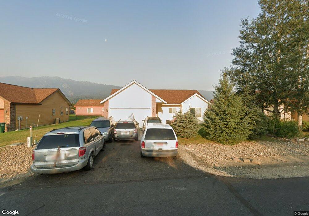
23 Buckskin Rd Donnelly, ID 83615
Estimated Value: $411,000 - $428,000
3
Beds
1
Bath
1,322
Sq Ft
$316/Sq Ft
Est. Value
About This Home
This home is located at 23 Buckskin Rd, Donnelly, ID 83615 and is currently estimated at $417,444, approximately $315 per square foot. 23 Buckskin Rd is a home located in Valley County with nearby schools including Donnelly Elementary School and McCall-Donnelly High School.
Ownership History
Date
Name
Owned For
Owner Type
Purchase Details
Closed on
Mar 30, 2013
Sold by
Fuller William M and Fuller Angela Marostica
Bought by
Morabito Robert M and Morabito Amy C
Current Estimated Value
Home Financials for this Owner
Home Financials are based on the most recent Mortgage that was taken out on this home.
Original Mortgage
$63,750
Outstanding Balance
$45,141
Interest Rate
3.54%
Mortgage Type
New Conventional
Estimated Equity
$372,303
Purchase Details
Closed on
Aug 23, 2006
Sold by
Timberline Development Llc
Bought by
Meyer David E and Meyer Lennette S
Home Financials for this Owner
Home Financials are based on the most recent Mortgage that was taken out on this home.
Original Mortgage
$29,985
Interest Rate
6.44%
Mortgage Type
Stand Alone Second
Create a Home Valuation Report for This Property
The Home Valuation Report is an in-depth analysis detailing your home's value as well as a comparison with similar homes in the area
Home Values in the Area
Average Home Value in this Area
Purchase History
| Date | Buyer | Sale Price | Title Company |
|---|---|---|---|
| Morabito Robert M | -- | Amerititle Mccall | |
| Meyer David E | -- | -- |
Source: Public Records
Mortgage History
| Date | Status | Borrower | Loan Amount |
|---|---|---|---|
| Open | Morabito Robert M | $63,750 | |
| Previous Owner | Meyer David E | $29,985 | |
| Previous Owner | Meyer David E | $159,920 |
Source: Public Records
Tax History Compared to Growth
Tax History
| Year | Tax Paid | Tax Assessment Tax Assessment Total Assessment is a certain percentage of the fair market value that is determined by local assessors to be the total taxable value of land and additions on the property. | Land | Improvement |
|---|---|---|---|---|
| 2025 | $1,080 | $382,600 | $26,590 | $356,010 |
| 2023 | $1,080 | $436,960 | $27,434 | $409,526 |
| 2022 | $1,200 | $390,444 | $27,434 | $363,010 |
| 2021 | $1,096 | $227,411 | $21,103 | $206,308 |
| 2020 | $1,062 | $183,961 | $26,187 | $157,774 |
| 2019 | $908 | $143,468 | $24,940 | $118,528 |
| 2018 | $882 | $131,881 | $23,379 | $108,502 |
| 2017 | $957 | $131,317 | $26,771 | $104,546 |
| 2016 | $894 | $120,340 | $25,000 | $95,340 |
| 2015 | $790 | $100,144 | $0 | $0 |
| 2013 | -- | $97,540 | $0 | $0 |
Source: Public Records
Map
Nearby Homes
- 16 Buckskin Dr
- 22 Charters Dr
- 13111 Cameron Dr
- 13078 Hill House Loop
- 13098 Hill House Loop
- 13076 Hill House Loop
- 13091 Hill House Loop
- Lot 4 Hideout Dr Unit 4
- 24 Mangum Cir Unit 1
- Lot 6 Hideout Dr Unit 6
- 20 #5 W Mangum Cir Unit 5
- 20 Mangum Cir Unit 8
- 24 Mangum Dr Unit # 1 Unit 1
- 35 1 Mangum Cir
- 35 Mangum Cir Unit 1
- 32 Mangum Cir Unit 3
- 32 Mangum Cir
- 34 Mangum Cir Unit 8
- 106 Forest Place
- 13156 Hawks Bay Rd
- 23 Buckskin Dr
- 25 Buckskin Rd
- 21 Buckskin Rd
- 21 Buckskin Dr
- 24 Timberline Dr
- 22 Timberline Dr
- 26 Timberline Dr
- 20 Timberline Dr
- 27 Buckskin Dr
- 19 Buckskin Rd
- 19 Buckskin Dr
- 22 Buckskin Rd
- 22 Buckskin Dr
- 24 Buckskin Rd
- 24 Buckskin Dr
- 17 Buckskin
- 20 Buckskin Rd
- 20 Buckskin Dr
- 26 Buckskin Rd
- 26 Buckskin Dr