23 Cain Bridge Ln Dahlonega, GA 30533
Estimated Value: $183,379 - $349,000
--
Bed
1
Bath
976
Sq Ft
$293/Sq Ft
Est. Value
About This Home
This home is located at 23 Cain Bridge Ln, Dahlonega, GA 30533 and is currently estimated at $285,845, approximately $292 per square foot. 23 Cain Bridge Ln is a home located in Lumpkin County with nearby schools including Lumpkin County High School.
Ownership History
Date
Name
Owned For
Owner Type
Purchase Details
Closed on
Mar 7, 2025
Sold by
Palmer Toby
Bought by
Hall Etta Cheri
Current Estimated Value
Purchase Details
Closed on
May 21, 2000
Sold by
Hatfield Gary
Bought by
Palmer Toby
Purchase Details
Closed on
Mar 16, 2000
Sold by
Hitt Jamie L
Bought by
Hatfield Gary
Purchase Details
Closed on
May 30, 1996
Sold by
Abercrombie Kansada
Bought by
Hitt Jamie L
Purchase Details
Closed on
Oct 1, 1986
Sold by
Farmers Home Adminin
Bought by
Abercrombie Kansada
Purchase Details
Closed on
Jul 1, 1984
Bought by
Farmers Home Adminin
Create a Home Valuation Report for This Property
The Home Valuation Report is an in-depth analysis detailing your home's value as well as a comparison with similar homes in the area
Home Values in the Area
Average Home Value in this Area
Purchase History
| Date | Buyer | Sale Price | Title Company |
|---|---|---|---|
| Hall Etta Cheri | -- | -- | |
| Palmer Toby | $72,000 | -- | |
| Hatfield Gary | $62,000 | -- | |
| Hitt Jamie L | $50,000 | -- | |
| Abercrombie Kansada | -- | -- | |
| Farmers Home Adminin | -- | -- |
Source: Public Records
Tax History Compared to Growth
Tax History
| Year | Tax Paid | Tax Assessment Tax Assessment Total Assessment is a certain percentage of the fair market value that is determined by local assessors to be the total taxable value of land and additions on the property. | Land | Improvement |
|---|---|---|---|---|
| 2024 | $1,152 | $48,372 | $8,000 | $40,372 |
| 2023 | $1,063 | $45,211 | $8,000 | $37,211 |
| 2022 | $964 | $38,932 | $8,000 | $30,932 |
| 2021 | $766 | $29,912 | $5,000 | $24,912 |
| 2020 | $766 | $29,046 | $5,000 | $24,046 |
| 2019 | $773 | $29,046 | $5,000 | $24,046 |
| 2018 | $738 | $26,026 | $5,000 | $21,026 |
| 2017 | $731 | $25,286 | $5,000 | $20,286 |
| 2016 | $689 | $23,040 | $5,000 | $18,040 |
| 2015 | $620 | $23,040 | $5,000 | $18,040 |
| 2014 | $620 | $23,531 | $5,000 | $18,531 |
| 2013 | -- | $23,778 | $5,000 | $18,778 |
Source: Public Records
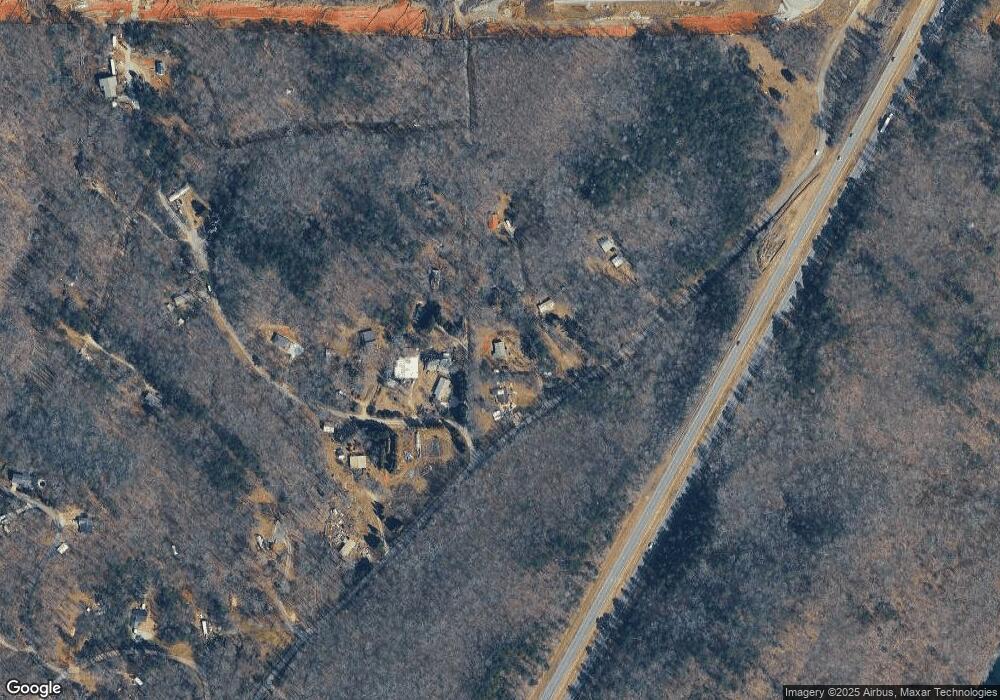
Map
Nearby Homes
- 307 Eagle Overlook Dr
- 70 Deerwood Cir
- 334 Silas Rd
- TRACT1 Panorama Dr
- 55 Flat Rock Pointe
- 0 Eagle Rest Rd Unit 13519388
- 5195 S Chestatee
- 0 Charlie Lemley Rd Unit 7693340
- 0 Charlie Lemley Rd Unit 10658696
- 328 Jennifer Ct
- 0 Long Branch Rd Unit 10271720
- 0 Long Branch Rd Unit 10271266
- 0 Long Branch Rd Unit 7357871
- 00 Long Branch Rd
- 1405 Burnt Stand Rd
- 7-/+ Charlie Lemley Rd
- 433 Elliots Ln
- 162 Stoneridge Dr
- 40 Chestatee Springs Rd
- 6038 S Chestatee
- 75 Cain Bridge Ln
- 452 Cain Bridge Rd
- 53 Lunceford Rd
- 52 Cain Bridge Heights
- 105 Cain Bridge Ln
- 84 Cain Bridge Heights
- 129 Lunceford Rd
- 82 Cain Bridge Heights
- 560 Cain Bridge Rd
- 456 Lunceford Rd
- 140 Cain Bridge Heights
- 168 Cain Bridge Heights Unit A,B
- 238 Cain Bridge Heights
- 634 Cain Bridge Rd
- 211 Cain Bridge Heights
- 227 Cain Bridge Heights
- 119 Kyle Stover Dr
- 168 Cain Bridge Rd Unit A,B
- 168 Cain Bridge Rd
- 50 Lester Shelton Rd