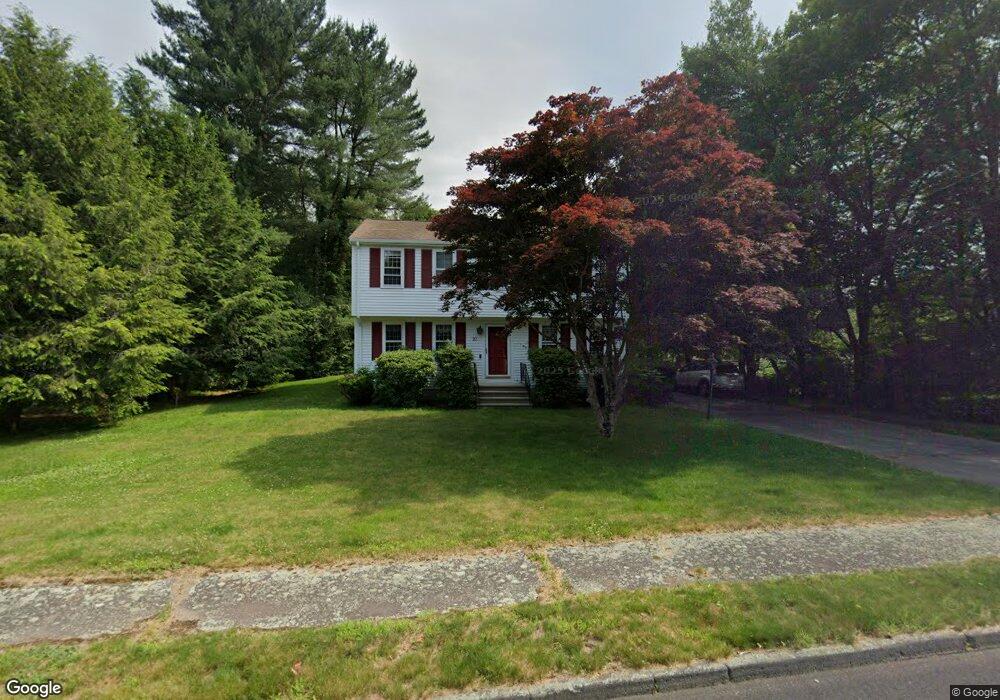
23 Canoe River Dr Mansfield, MA 02048
Estimated Value: $688,029 - $860,000
4
Beds
2
Baths
1,836
Sq Ft
$419/Sq Ft
Est. Value
About This Home
This home is located at 23 Canoe River Dr, Mansfield, MA 02048 and is currently estimated at $769,007, approximately $418 per square foot. 23 Canoe River Dr is a home located in Bristol County with nearby schools including Jordan/Jackson Elementary School, Everett W. Robinson Elementary School, and Harold L. Qualters Middle School.
Ownership History
Date
Name
Owned For
Owner Type
Purchase Details
Closed on
Sep 6, 2001
Sold by
Winslow George D and Winslow Mary L
Bought by
Haines Frederick W and Haines Devon E
Current Estimated Value
Home Financials for this Owner
Home Financials are based on the most recent Mortgage that was taken out on this home.
Original Mortgage
$193,500
Outstanding Balance
$75,784
Interest Rate
7.05%
Mortgage Type
Purchase Money Mortgage
Estimated Equity
$693,223
Purchase Details
Closed on
Apr 8, 1987
Sold by
Socci Albert M
Bought by
Winslow George D
Home Financials for this Owner
Home Financials are based on the most recent Mortgage that was taken out on this home.
Original Mortgage
$65,000
Interest Rate
9.02%
Mortgage Type
Purchase Money Mortgage
Create a Home Valuation Report for This Property
The Home Valuation Report is an in-depth analysis detailing your home's value as well as a comparison with similar homes in the area
Home Values in the Area
Average Home Value in this Area
Purchase History
| Date | Buyer | Sale Price | Title Company |
|---|---|---|---|
| Haines Frederick W | $339,000 | -- | |
| Winslow George D | $175,000 | -- |
Source: Public Records
Mortgage History
| Date | Status | Borrower | Loan Amount |
|---|---|---|---|
| Open | Winslow George D | $193,500 | |
| Previous Owner | Winslow George D | $105,000 | |
| Previous Owner | Winslow George D | $17,000 | |
| Previous Owner | Winslow George D | $65,000 |
Source: Public Records
Tax History Compared to Growth
Tax History
| Year | Tax Paid | Tax Assessment Tax Assessment Total Assessment is a certain percentage of the fair market value that is determined by local assessors to be the total taxable value of land and additions on the property. | Land | Improvement |
|---|---|---|---|---|
| 2025 | $7,927 | $601,900 | $266,500 | $335,400 |
| 2024 | $7,571 | $560,800 | $254,400 | $306,400 |
| 2023 | $7,361 | $522,400 | $254,400 | $268,000 |
| 2022 | $7,089 | $467,300 | $235,500 | $231,800 |
| 2021 | $7,081 | $461,000 | $224,400 | $236,600 |
| 2020 | $6,553 | $426,600 | $196,300 | $230,300 |
| 2019 | $6,382 | $419,300 | $186,900 | $232,400 |
| 2018 | $3,907 | $406,500 | $178,200 | $228,300 |
| 2017 | $5,936 | $395,200 | $173,200 | $222,000 |
| 2016 | $5,904 | $383,100 | $164,900 | $218,200 |
| 2015 | $5,768 | $372,100 | $164,900 | $207,200 |
Source: Public Records
Map
Nearby Homes
- 442 Ware St
- 460 Ware St
- 631 East St Unit H102
- 409 Pratt St
- 5 Pineview Terrace
- 778 Ware St
- 12 Wilson Place
- 711 Ware St
- 72 Court St Unit B
- 14 Webb Place Unit 1B
- 55-57 Pine Needle Ln
- 16 East St Unit 2
- 38 Court St
- 10 Erick Rd Unit 34
- 10 Erick Rd Unit 31
- 99 Pleasant St
- 28 Court St
- 82 Brook St
- 3 Cushing Ln
- 18 Millfarm Dr
- 27 Canoe River Dr
- 19 Canoe River Dr
- 31 Canoe River Dr
- 26 Canoe River Dr
- 18 Canoe River Dr
- 22 Canoe River Dr
- 11 Birch Bark Ln
- 30 Canoe River Dr
- 20 Birch Bark Ln
- 14 Canoe River Dr
- 16 Birch Bark Ln
- 9 Birch Bark Ln
- 12 Birch Bark Ln
- 36 Canoe River Dr
- 10 Canoe River Dr
- 19 River Edge Rd
- 23 River Edge Rd
- 15 River Edge Rd
- 8 Birch Bark Ln
- 11 River Edge Rd