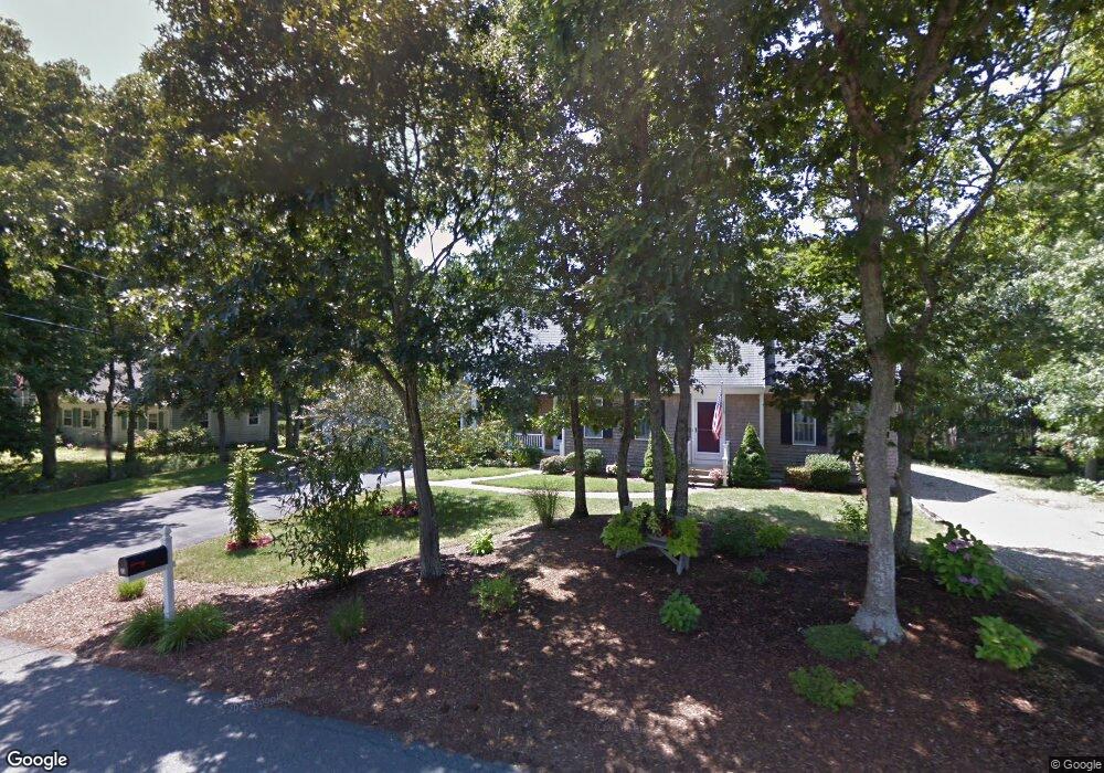
23 Captain Prestons Rd Dennis, MA 02638
Dennis Village NeighborhoodEstimated Value: $807,713 - $1,102,000
2
Beds
2
Baths
1,818
Sq Ft
$489/Sq Ft
Est. Value
About This Home
This home is located at 23 Captain Prestons Rd, Dennis, MA 02638 and is currently estimated at $888,928, approximately $488 per square foot. 23 Captain Prestons Rd is a home located in Barnstable County with nearby schools including Dennis-Yarmouth Regional High School and St. Pius X. School.
Ownership History
Date
Name
Owned For
Owner Type
Purchase Details
Closed on
Mar 1, 2012
Sold by
Parsons Eleanor B
Bought by
Eleanor B Parsons Irt and Demarest
Current Estimated Value
Purchase Details
Closed on
Nov 28, 2011
Sold by
Williams Ft and Williams
Bought by
Parsons Eleanor B
Purchase Details
Closed on
Oct 8, 1999
Sold by
Staffiere Gayle P
Bought by
Williams George J and Williams Viola M
Create a Home Valuation Report for This Property
The Home Valuation Report is an in-depth analysis detailing your home's value as well as a comparison with similar homes in the area
Home Values in the Area
Average Home Value in this Area
Purchase History
| Date | Buyer | Sale Price | Title Company |
|---|---|---|---|
| Eleanor B Parsons Irt | -- | -- | |
| Parsons Eleanor B | $307,000 | -- | |
| Williams George J | $57,000 | -- |
Source: Public Records
Tax History
| Year | Tax Paid | Tax Assessment Tax Assessment Total Assessment is a certain percentage of the fair market value that is determined by local assessors to be the total taxable value of land and additions on the property. | Land | Improvement |
|---|---|---|---|---|
| 2025 | $3,149 | $727,200 | $176,400 | $550,800 |
| 2024 | $3,139 | $715,000 | $177,700 | $537,300 |
| 2023 | $3,036 | $650,000 | $161,600 | $488,400 |
| 2022 | $2,787 | $497,700 | $132,300 | $365,400 |
| 2021 | $2,551 | $423,000 | $129,700 | $293,300 |
| 2020 | $2,497 | $409,400 | $129,700 | $279,700 |
| 2019 | $2,420 | $392,300 | $139,900 | $252,400 |
| 2018 | $2,312 | $364,600 | $121,100 | $243,500 |
| 2017 | $2,242 | $364,600 | $121,100 | $243,500 |
| 2016 | $2,593 | $397,100 | $151,300 | $245,800 |
| 2015 | $2,222 | $347,200 | $151,300 | $195,900 |
| 2014 | $1,974 | $310,900 | $121,100 | $189,800 |
Source: Public Records
Map
Nearby Homes
- 14 S Yarmouth Rd
- 59 Main St Unit 7-3
- 59 Main St Unit 19-2
- 59 Route 6a Unit 9-2
- 59 Route 6a Unit 7-3
- 59 Massachusetts 6a Unit 19-2
- 568 Route 6a
- 39 Whittier Dr
- 26 S West Dr
- 20 Bray Farm Rd S
- 268 Main St
- 15 Jonquil Rd
- 15 Musket Ln
- 16 Hazelwood Rd
- 54 Kates Path Unit 54
- 10 Uncle Bills Way
- 15 John Hall Cartway Unit 15
- 52 Uncle Bobs Way
- 86 Pompano Rd
- 3212 Heatherwood Unit 3212
- 23 Capt Prestons Rd
- 29 Captain Prestons Rd
- 17 Captain Prestons Rd
- 20 Captain Prestons Rd
- 10 Captain Prestons Rd
- 26 Captain Prestons Rd
- 11 Capt Prestons Rd
- 37 Captain Prestons Rd
- 11 Captain Prestons Rd
- 47 S Yarmouth Rd
- 41 S Yarmouth Rd
- 32 Captain Prestons Rd
- 53 S Yarmouth Rd
- 3 Captain Prestons Rd
- 3 Marian Way
- 43 Captain Prestons Rd
- 61 S Yarmouth Rd
- 46 S Yarmouth Rd
- 37 S Yarmouth Rd
- 5 Marian Way
Your Personal Tour Guide
Ask me questions while you tour the home.