23 Catlin Shore Rd Harpswell, ME 04079
Harpswell NeighborhoodEstimated Value: $541,102 - $842,000
4
Beds
2
Baths
2,155
Sq Ft
$317/Sq Ft
Est. Value
About This Home
This home is located at 23 Catlin Shore Rd, Harpswell, ME 04079 and is currently estimated at $682,776, approximately $316 per square foot. 23 Catlin Shore Rd is a home with nearby schools including Mt Ararat High School.
Ownership History
Date
Name
Owned For
Owner Type
Purchase Details
Closed on
Jun 2, 2025
Sold by
Zero Diane M and Zero Steven P
Bought by
Catlin Barry and Catlin Gretchen
Current Estimated Value
Purchase Details
Closed on
Feb 28, 2024
Sold by
Catlishoe Ret and Carlin
Bought by
Catlin Barry J
Purchase Details
Closed on
Jun 2, 2022
Sold by
Chen Gret and Catlin Barry
Bought by
Catlin Kayle
Purchase Details
Closed on
Dec 5, 2016
Sold by
Catlin Barry J
Bought by
Catlin Barry J and Catlin Gretchen
Home Financials for this Owner
Home Financials are based on the most recent Mortgage that was taken out on this home.
Original Mortgage
$292,000
Interest Rate
3.52%
Mortgage Type
New Conventional
Create a Home Valuation Report for This Property
The Home Valuation Report is an in-depth analysis detailing your home's value as well as a comparison with similar homes in the area
Home Values in the Area
Average Home Value in this Area
Purchase History
| Date | Buyer | Sale Price | Title Company |
|---|---|---|---|
| Catlin Barry | $170,000 | None Available | |
| Catlin Barry | $170,000 | None Available | |
| Catlin Barry J | -- | None Available | |
| Catlin Barry J | -- | None Available | |
| Catlin Kayle | -- | None Available | |
| Catlin Kayle | -- | None Available | |
| Catlin Barry J | -- | -- | |
| Catlin Barry J | -- | -- |
Source: Public Records
Mortgage History
| Date | Status | Borrower | Loan Amount |
|---|---|---|---|
| Previous Owner | Catlin Barry J | $292,000 |
Source: Public Records
Tax History Compared to Growth
Tax History
| Year | Tax Paid | Tax Assessment Tax Assessment Total Assessment is a certain percentage of the fair market value that is determined by local assessors to be the total taxable value of land and additions on the property. | Land | Improvement |
|---|---|---|---|---|
| 2024 | $2,192 | $344,600 | $62,000 | $282,600 |
| 2023 | $2,102 | $344,600 | $62,000 | $282,600 |
| 2022 | $2,099 | $355,700 | $69,900 | $285,800 |
| 2021 | $2,053 | $303,700 | $61,400 | $242,300 |
| 2020 | $2,047 | $303,700 | $61,400 | $242,300 |
| 2019 | $2,035 | $303,700 | $61,400 | $242,300 |
| 2018 | $1,958 | $302,200 | $61,400 | $240,800 |
| 2017 | $1,728 | $267,500 | $61,400 | $206,100 |
| 2016 | $1,300 | $203,100 | $61,400 | $141,700 |
| 2015 | $1,222 | $195,800 | $59,100 | $136,700 |
| 2013 | $1,132 | $195,800 | $59,100 | $136,700 |
Source: Public Records
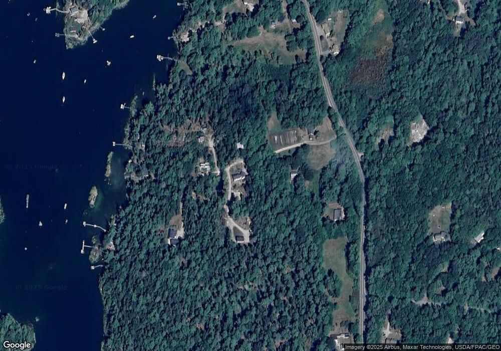
Map
Nearby Homes
- 37 & 38 S Dyers Cove Rd
- 242 Long Reach Ln
- 11 Orion Point Way
- 93 Abbot Cove Rd
- 943 Cundys Harbor Rd
- 29 & 30 Nob Hill Ave
- 646 Gurnet Rd
- lot C Long Point Rd
- 270 Harpswell Neck Rd
- 205 W Cundys Point
- 51 & 53 Rock Haven Dr
- 10 Birch Point Rd
- 46 Dam Cove Rd
- 25 Echo Ln
- 260 Coombs Rd
- 88 Campbell Pond Rd
- 65 Shell Rd
- 0 Bayview Rd Unit 2 1632776
- 15 Church Ln
- 140 Clifford Rd
- 30 Catlin Shore Rd
- 32 Catlin Shore Rd
- 13 Catlin Shore Rd
- 8 Catlin Shore Rd
- 60 Catlin Shore Rd
- 48 Catlin Shore Rd
- 36 Friends Rest
- 506 Cundys Harbor Rd
- 64 Catlin Shore Rd
- 20 Friends Rest
- 58 Catlin Shore Rd
- 59 Catlin Shore Rd
- 62 Catlin Shore Rd
- 25 Cedar Farm Ln
- 456 Cundys Harbor Rd
- 1 Dingley Island Rd
- 467 Cundys Harbor Rd
- 12 Cedar Farm Ln
- 0 Dingley Island Rd Unit 953814
- 0 Dingley Island Rd Unit 1099294