23 Cedar Ln Unit RED Westport, MA 02790
Westport Point NeighborhoodEstimated Value: $628,947 - $872,000
2
Beds
--
Bath
2,561
Sq Ft
$289/Sq Ft
Est. Value
About This Home
This home is located at 23 Cedar Ln Unit RED, Westport, MA 02790 and is currently estimated at $739,487, approximately $288 per square foot. 23 Cedar Ln Unit RED is a home located in Bristol County with nearby schools including Alice A. Macomber Primary School, Westport Elementary School, and Westport Middle-High School.
Ownership History
Date
Name
Owned For
Owner Type
Purchase Details
Closed on
Jun 30, 2006
Sold by
Maurice Robert C
Bought by
Weaver Matthew O
Current Estimated Value
Home Financials for this Owner
Home Financials are based on the most recent Mortgage that was taken out on this home.
Original Mortgage
$389,750
Interest Rate
6.58%
Mortgage Type
Purchase Money Mortgage
Create a Home Valuation Report for This Property
The Home Valuation Report is an in-depth analysis detailing your home's value as well as a comparison with similar homes in the area
Home Values in the Area
Average Home Value in this Area
Purchase History
| Date | Buyer | Sale Price | Title Company |
|---|---|---|---|
| Weaver Matthew O | $270,000 | -- |
Source: Public Records
Mortgage History
| Date | Status | Borrower | Loan Amount |
|---|---|---|---|
| Open | Weaver Matthew O | $390,550 | |
| Closed | Weaver Matthew O | $389,750 |
Source: Public Records
Tax History Compared to Growth
Tax History
| Year | Tax Paid | Tax Assessment Tax Assessment Total Assessment is a certain percentage of the fair market value that is determined by local assessors to be the total taxable value of land and additions on the property. | Land | Improvement |
|---|---|---|---|---|
| 2025 | $4,027 | $540,600 | $0 | $540,600 |
| 2024 | $7,355 | $951,500 | $420,300 | $531,200 |
| 2023 | $7,315 | $896,400 | $400,300 | $496,100 |
| 2022 | $5,274 | $750,000 | $392,700 | $357,300 |
| 2021 | $5,274 | $611,800 | $294,700 | $317,100 |
| 2020 | $5,177 | $614,100 | $282,900 | $331,200 |
| 2019 | $4,650 | $562,300 | $282,900 | $279,400 |
| 2018 | $3,469 | $424,600 | $214,000 | $210,600 |
| 2017 | $3,541 | $444,300 | $231,500 | $212,800 |
| 2016 | $3,608 | $456,100 | $251,400 | $204,700 |
| 2015 | $3,409 | $429,900 | $233,900 | $196,000 |
Source: Public Records
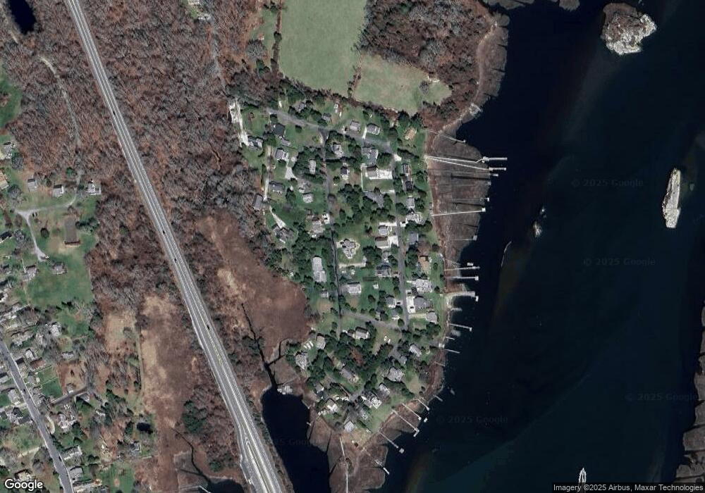
Map
Nearby Homes
- 1881 Main Rd
- 1702 Drift Rd
- 1702J Drift Rd
- 0 Reed Rd (Ss)
- 1749 Main Rd
- 1580 Main Rd
- 99 Sylvia Ln
- 1346 Main Rd Unit B
- 238-242 E Beach Rd
- 19 Seabury Ln
- Lot 2 Horseneck Rd
- 189 Brayton Point Rd
- 304 Brayton Point Rd
- 255 John Dyer Rd
- 225 Hixbridge Rd
- 920 Drift Rd
- 245 John Dyer Rd
- Lot 2E Horseneck Rd
- 17 Quail Trail
- 101 Adamsville Rd
- 23 Red Cedar Rd
- Lot 130 Red Cedar Rd
- 25 E Shore Rd
- 23 E Shore Rd
- 11 E Shore Rd
- 22 Red Cedar Rd
- 15 Red Cedar Rd
- 32 Red Cedar Rd
- 32 Cedar Ln Unit RED
- 15 Cedar Ln Unit RED
- 52 E Shore Rd
- 52 E Shore Rd Unit 1
- 22 Cedar Ln Unit RED
- 126 E Shore Rd
- 36 Cedar Ln Unit RED
- 1 Osborn St Unit 1
- 39 Cedar Ln Unit RED
- 16 E Shore Rd Rd
- 9 E Shore Rd
- 1 Osprey Ln