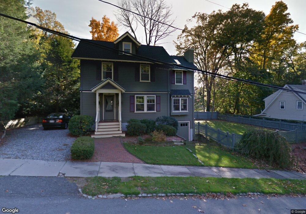
23 Chisholm Rd Winchester, MA 01890
Winchester Highlands NeighborhoodEstimated Value: $1,472,155 - $1,639,000
3
Beds
3
Baths
2,153
Sq Ft
$729/Sq Ft
Est. Value
About This Home
This home is located at 23 Chisholm Rd, Winchester, MA 01890 and is currently estimated at $1,570,289, approximately $729 per square foot. 23 Chisholm Rd is a home located in Middlesex County with nearby schools including Muraco Elementary School, McCall Middle School, and Winchester High School.
Ownership History
Date
Name
Owned For
Owner Type
Purchase Details
Closed on
Aug 15, 1997
Sold by
Page Louis and Page Paula C
Bought by
Moysey Steven P and Grady Sharon A
Current Estimated Value
Home Financials for this Owner
Home Financials are based on the most recent Mortgage that was taken out on this home.
Original Mortgage
$333,200
Interest Rate
7.56%
Mortgage Type
Purchase Money Mortgage
Purchase Details
Closed on
May 6, 1994
Sold by
Fincke Randall W and Fincke Nancy B
Bought by
Page Louis and Page Paula C
Home Financials for this Owner
Home Financials are based on the most recent Mortgage that was taken out on this home.
Original Mortgage
$150,000
Interest Rate
7.7%
Mortgage Type
Purchase Money Mortgage
Create a Home Valuation Report for This Property
The Home Valuation Report is an in-depth analysis detailing your home's value as well as a comparison with similar homes in the area
Home Values in the Area
Average Home Value in this Area
Purchase History
| Date | Buyer | Sale Price | Title Company |
|---|---|---|---|
| Moysey Steven P | $416,500 | -- | |
| Page Louis | $279,000 | -- |
Source: Public Records
Mortgage History
| Date | Status | Borrower | Loan Amount |
|---|---|---|---|
| Closed | Page Louis | $243,000 | |
| Closed | Page Louis | $256,000 | |
| Closed | Page Louis | $333,200 | |
| Previous Owner | Page Louis | $150,000 |
Source: Public Records
Tax History
| Year | Tax Paid | Tax Assessment Tax Assessment Total Assessment is a certain percentage of the fair market value that is determined by local assessors to be the total taxable value of land and additions on the property. | Land | Improvement |
|---|---|---|---|---|
| 2025 | $167 | $1,509,200 | $718,900 | $790,300 |
| 2024 | $15,441 | $1,362,800 | $625,100 | $737,700 |
| 2023 | $15,123 | $1,281,600 | $562,600 | $719,000 |
| 2022 | $15,016 | $1,200,300 | $515,700 | $684,600 |
| 2021 | $24,523 | $1,153,500 | $468,900 | $684,600 |
| 2020 | $14,292 | $1,153,500 | $468,900 | $684,600 |
| 2019 | $6,765 | $1,080,000 | $395,400 | $684,600 |
| 2018 | $6,699 | $1,055,800 | $388,400 | $667,400 |
| 2017 | $6,512 | $1,001,000 | $388,400 | $612,600 |
| 2016 | $11,265 | $964,500 | $369,600 | $594,900 |
| 2015 | $11,009 | $906,800 | $336,000 | $570,800 |
| 2014 | $10,871 | $858,700 | $304,800 | $553,900 |
Source: Public Records
Map
Nearby Homes
- 2 Abby Rd
- 1 Orient St
- 6 Mason Way Unit 63
- 40 Englewood Rd
- 4 Stratton Dr Unit 308
- 15 Englewood Rd
- 146 Marble St Unit 507
- 193 Park St
- 6 Stratton Dr Unit 3303
- 6 Stratton Dr Unit 208
- 6 Stratton Dr Unit 3307
- 6 Everett St
- 320 Washington St
- 7 Carol St
- 57 Park St
- 15 East St
- 31 Tremont St
- 588 Main St Unit 3D
- 39 Chestnut St Unit 2C
- 18 Central St
Your Personal Tour Guide
Ask me questions while you tour the home.