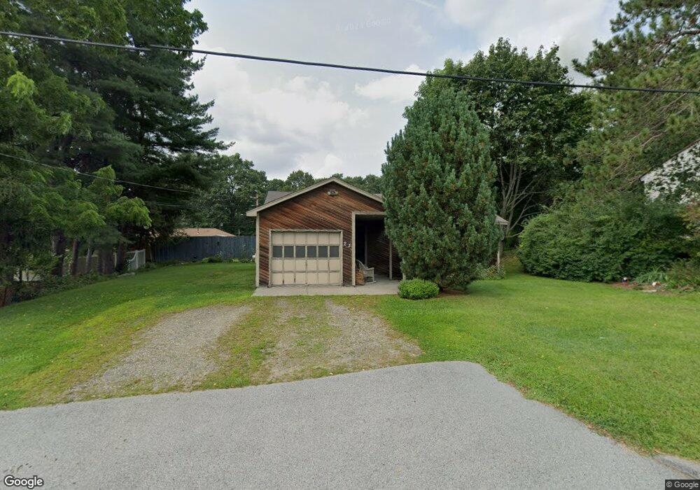
23 Cliveden St Worcester, MA 01606
Burncoat NeighborhoodEstimated Value: $413,000 - $468,000
3
Beds
1
Bath
1,136
Sq Ft
$385/Sq Ft
Est. Value
About This Home
This home is located at 23 Cliveden St, Worcester, MA 01606 and is currently estimated at $437,290, approximately $384 per square foot. 23 Cliveden St is a home located in Worcester County with nearby schools including Norrback Avenue Elementary School, Jacob Hiatt Magnet School, and Chandler Magnet.
Create a Home Valuation Report for This Property
The Home Valuation Report is an in-depth analysis detailing your home's value as well as a comparison with similar homes in the area
Home Values in the Area
Average Home Value in this Area
Tax History
| Year | Tax Paid | Tax Assessment Tax Assessment Total Assessment is a certain percentage of the fair market value that is determined by local assessors to be the total taxable value of land and additions on the property. | Land | Improvement |
|---|---|---|---|---|
| 2025 | $4,825 | $365,800 | $118,300 | $247,500 |
| 2024 | $4,722 | $343,400 | $118,300 | $225,100 |
| 2023 | $4,640 | $323,600 | $102,900 | $220,700 |
| 2022 | $4,104 | $269,800 | $82,300 | $187,500 |
| 2021 | $3,971 | $243,900 | $65,900 | $178,000 |
| 2020 | $3,808 | $224,000 | $65,900 | $158,100 |
| 2019 | $3,573 | $198,500 | $59,300 | $139,200 |
| 2018 | $3,462 | $183,100 | $59,300 | $123,800 |
| 2017 | $3,519 | $183,100 | $59,300 | $123,800 |
| 2016 | $3,425 | $166,200 | $43,300 | $122,900 |
| 2015 | $3,336 | $166,200 | $43,300 | $122,900 |
| 2014 | $3,248 | $166,200 | $43,300 | $122,900 |
Source: Public Records
Map
Nearby Homes
- 12 Beale St
- 10 Beale St
- 1110 W Boylston St Unit A
- 48 Whispering Pine Cir Unit 48
- 69 Santoro Rd
- 71 Hillside Village Dr
- 156 Hillside Village Dr
- 31 Danielles Way
- 22 Danielles Way
- 26 Danielles Way
- 1 Highland Ave
- 6 Meadowbrook Dr
- 53 Collins St
- 30 Osgood Ave
- 39 Mountainshire Dr
- 38 Juniper Ln
- 30 Danielles Way
- 18 Danielles Way
- 13 Fatima Ln
- 66 Eunice Ave
Your Personal Tour Guide
Ask me questions while you tour the home.