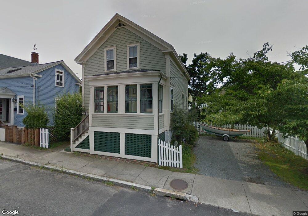
23 Connection St Newport, RI 02840
Fifth Ward NeighborhoodEstimated Value: $796,000 - $914,000
3
Beds
1
Bath
1,129
Sq Ft
$764/Sq Ft
Est. Value
About This Home
This home is located at 23 Connection St, Newport, RI 02840 and is currently estimated at $862,047, approximately $763 per square foot. 23 Connection St is a home located in Newport County with nearby schools including Rogers High School, St Michael's Country Day School, and All Saints STEAM Academy.
Ownership History
Date
Name
Owned For
Owner Type
Purchase Details
Closed on
May 3, 1993
Sold by
Peter Gregory Est
Bought by
Kane David J
Current Estimated Value
Home Financials for this Owner
Home Financials are based on the most recent Mortgage that was taken out on this home.
Original Mortgage
$87,783
Interest Rate
7.51%
Create a Home Valuation Report for This Property
The Home Valuation Report is an in-depth analysis detailing your home's value as well as a comparison with similar homes in the area
Home Values in the Area
Average Home Value in this Area
Purchase History
| Date | Buyer | Sale Price | Title Company |
|---|---|---|---|
| Kane David J | $87,000 | -- |
Source: Public Records
Mortgage History
| Date | Status | Borrower | Loan Amount |
|---|---|---|---|
| Open | Kane David J | $40,000 | |
| Closed | Kane David J | $25,000 | |
| Closed | Kane David J | $87,783 |
Source: Public Records
Tax History
| Year | Tax Paid | Tax Assessment Tax Assessment Total Assessment is a certain percentage of the fair market value that is determined by local assessors to be the total taxable value of land and additions on the property. | Land | Improvement |
|---|---|---|---|---|
| 2025 | $5,229 | $728,300 | $371,000 | $357,300 |
| 2024 | $5,076 | $728,300 | $371,000 | $357,300 |
| 2023 | $4,738 | $477,600 | $242,500 | $235,100 |
| 2022 | $4,590 | $477,600 | $242,500 | $235,100 |
| 2021 | $4,456 | $477,600 | $242,500 | $235,100 |
| 2020 | $4,205 | $409,000 | $219,600 | $189,400 |
| 2019 | $4,205 | $409,000 | $219,600 | $189,400 |
| 2018 | $4,086 | $409,000 | $219,600 | $189,400 |
| 2017 | $3,726 | $332,400 | $157,000 | $175,400 |
| 2016 | $3,633 | $332,400 | $157,000 | $175,400 |
| 2015 | $3,547 | $332,400 | $157,000 | $175,400 |
| 2014 | $3,608 | $299,200 | $133,500 | $165,700 |
Source: Public Records
Map
Nearby Homes
- 5 Meikle Ave
- 629 Thames St
- 6 Price's Cove Ave
- 15 Narragansett Ave Unit 2
- 75 Roseneath Ave
- 5 Conrad Ct
- 32 Houston Ave
- 6 Sharon Ct
- 68 Old Fort Rd
- 2 Harbor View Dr
- 6 Sullivan St
- 46 Chastellux Ave Unit M6
- 16 Dean Ave
- 446 Bellevue Ave Unit 3
- 2 Perry St
- 14 Leroy Ave
- 519 Bellevue Ave Unit 1W
- 364 Bellevue Ave Unit A6
- 71 Pope St
- 43 Howard St
- 21 Connection St
- 37 Connection St
- 37 Connection St Unit 3
- 37 Connection St Unit 1
- 37 Connection St Unit 2
- 39 Connection St
- 19 Connection St
- 8 Atlantic St
- 6 Atlantic St
- 10 Atlantic St
- 28 Connection St
- 24 Connection St
- 12 Atlantic St
- 22 Connection St
- 41 Connection St
- 2 Atlantic St Unit 3
- 2 Atlantic St
- 14 Atlantic St
- 17 Connection St
- 8 Lucas Ave
Your Personal Tour Guide
Ask me questions while you tour the home.