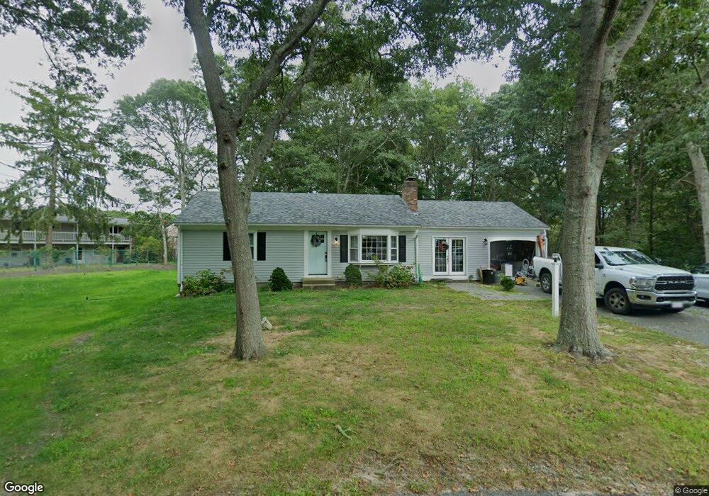
23 Copperbrook Rd South Yarmouth, MA 02664
South Yarmouth NeighborhoodEstimated Value: $518,000 - $591,000
2
Beds
2
Baths
1,128
Sq Ft
$500/Sq Ft
Est. Value
About This Home
This home is located at 23 Copperbrook Rd, South Yarmouth, MA 02664 and is currently estimated at $564,197, approximately $500 per square foot. 23 Copperbrook Rd is a home located in Barnstable County with nearby schools including Dennis-Yarmouth Regional High School, Sturgis Charter Public School, and St. Pius X. School.
Ownership History
Date
Name
Owned For
Owner Type
Purchase Details
Closed on
Nov 27, 2009
Sold by
Conzo Patricia A and Smith Mary Ellen
Bought by
Oliveira Kellie V
Current Estimated Value
Home Financials for this Owner
Home Financials are based on the most recent Mortgage that was taken out on this home.
Original Mortgage
$206,196
Outstanding Balance
$134,631
Interest Rate
4.92%
Mortgage Type
Purchase Money Mortgage
Estimated Equity
$429,566
Create a Home Valuation Report for This Property
The Home Valuation Report is an in-depth analysis detailing your home's value as well as a comparison with similar homes in the area
Home Values in the Area
Average Home Value in this Area
Purchase History
| Date | Buyer | Sale Price | Title Company |
|---|---|---|---|
| Oliveira Kellie V | $210,000 | -- |
Source: Public Records
Mortgage History
| Date | Status | Borrower | Loan Amount |
|---|---|---|---|
| Open | Oliveira Kellie V | $206,196 |
Source: Public Records
Tax History Compared to Growth
Tax History
| Year | Tax Paid | Tax Assessment Tax Assessment Total Assessment is a certain percentage of the fair market value that is determined by local assessors to be the total taxable value of land and additions on the property. | Land | Improvement |
|---|---|---|---|---|
| 2025 | $3,932 | $555,300 | $184,300 | $371,000 |
| 2024 | $3,665 | $496,600 | $155,900 | $340,700 |
| 2023 | $3,527 | $434,900 | $134,900 | $300,000 |
| 2022 | $3,317 | $361,300 | $122,600 | $238,700 |
| 2021 | $3,104 | $324,700 | $122,600 | $202,100 |
| 2020 | $0 | $302,900 | $122,600 | $180,300 |
| 2019 | $2,787 | $275,900 | $122,600 | $153,300 |
| 2018 | $2,653 | $257,800 | $104,500 | $153,300 |
| 2017 | $2,537 | $253,200 | $99,900 | $153,300 |
| 2016 | $2,437 | $244,200 | $90,900 | $153,300 |
| 2015 | $2,231 | $222,200 | $90,900 | $131,300 |
Source: Public Records
Map
Nearby Homes
- 3 Saturn Ln
- 68 Bob-O-link Ln
- 24 Fast Brook Rd
- 11 Bob-O-link Ln
- 48 Captain Dore Rd
- 18 Captain Stanley Rd
- 35 Captain Percival Rd
- 33 Lake Rd
- 147 Captain Bacon Rd
- 17 South St
- 49 Captain Besse Rd
- 23 Circuit Rd N
- 22 Powhatan Rd
- 745 Willow St
- 21 Hazelmoor Rd
- 844 Route 28 Unit 2A
- 844 Route 28 Unit 9B
- 844 Route 28 Unit 2A
- 15 Sharon Rd
- 9 Cedar St
- 23 Copper Brook Rd
- 22 Copperbrook Rd
- 17 Copperbrook Rd
- 17 Copper Brook Rd
- 534 Winslow Gray Rd
- 18 Copperbrook Rd
- 510 Winslow Gray Rd
- 11 Copperbrook Rd
- 514 Winslow Gray Rd
- 506 Winslow Gray Rd
- 520 Winslow Gray Rd
- 12 Copperbrook Rd
- 7 Copperbrook Rd
- 502 Winslow Gray Rd
- 502 Wilson Gray Rd
- 7 Copper Brook Rd
- 515 Winslow Gray Rd
- 509 Winslow Gray Rd
- 60 Clifford St
- 12 Amelia