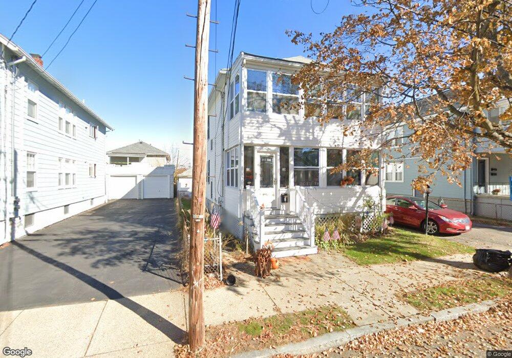
23 Cornell St Unit 25 Arlington, MA 02474
East Arlington NeighborhoodEstimated Value: $1,250,000 - $1,348,000
4
Beds
2
Baths
2,180
Sq Ft
$596/Sq Ft
Est. Value
About This Home
This home is located at 23 Cornell St Unit 25, Arlington, MA 02474 and is currently estimated at $1,300,196, approximately $596 per square foot. 23 Cornell St Unit 25 is a home located in Middlesex County with nearby schools including Thompson School, Ottoson Middle School, and Arlington High School.
Ownership History
Date
Name
Owned For
Owner Type
Purchase Details
Closed on
Nov 23, 2020
Sold by
Gazza Joan D
Bought by
Gazza Gregory A
Current Estimated Value
Purchase Details
Closed on
Aug 8, 2018
Sold by
Gazza Richard F and Gazza Gregory A
Bought by
Gazza Joan D
Purchase Details
Closed on
Sep 29, 2006
Sold by
Ghiozzi Joan D
Bought by
Gazza Gregory A and Gazza Joan D
Purchase Details
Closed on
May 27, 2005
Sold by
Oley Edwin J and Oley Lillian T
Bought by
Gazza Joan D and Ghiozzi John
Create a Home Valuation Report for This Property
The Home Valuation Report is an in-depth analysis detailing your home's value as well as a comparison with similar homes in the area
Home Values in the Area
Average Home Value in this Area
Purchase History
| Date | Buyer | Sale Price | Title Company |
|---|---|---|---|
| Gazza Gregory A | -- | None Available | |
| Gazza Joan D | -- | -- | |
| Gazza Gregory A | -- | -- | |
| Gazza Joan D | $625,000 | -- |
Source: Public Records
Tax History
| Year | Tax Paid | Tax Assessment Tax Assessment Total Assessment is a certain percentage of the fair market value that is determined by local assessors to be the total taxable value of land and additions on the property. | Land | Improvement |
|---|---|---|---|---|
| 2025 | $11,905 | $1,105,400 | $577,200 | $528,200 |
| 2024 | $11,001 | $1,038,800 | $549,400 | $489,400 |
| 2023 | $11,038 | $984,700 | $460,600 | $524,100 |
| 2022 | $11,003 | $963,500 | $444,000 | $519,500 |
| 2021 | $10,665 | $940,500 | $444,000 | $496,500 |
| 2020 | $10,402 | $940,500 | $444,000 | $496,500 |
| 2019 | $9,499 | $843,600 | $471,800 | $371,800 |
| 2018 | $8,684 | $715,900 | $344,100 | $371,800 |
| 2017 | $8,151 | $649,000 | $299,700 | $349,300 |
| 2016 | $7,739 | $604,600 | $255,300 | $349,300 |
| 2015 | $7,616 | $562,100 | $249,800 | $312,300 |
Source: Public Records
Map
Nearby Homes
- 29 Dartmouth St Unit 29
- 27-29 Dartmouth St Unit 1
- 53 Warren St Unit 53
- 52 Warren St
- 18 Wellesley Rd
- 199 Everett St Unit 199
- 132 Warren St Unit B
- 120 Broadway
- 165-167 Franklin St Unit 1
- 166 Franklin St Unit 1
- 68-70 Hamlet St
- 6 Gordon Rd
- 145 Jerome St
- 44 Sherman St
- 15 Medford St Unit 4
- 251 Massachusetts Ave Unit 1
- 31 Sharon St
- 111 Sharon St Unit 1
- 89 Cleveland St Unit 89
- 454-460 Massachusetts Ave
- 23-25 Cornell St
- 27 Cornell St Unit 1
- 27 Cornell St Unit 29
- 27-29 Cornell St Unit 27
- 19 Cornell St
- 19 Cornell St Unit 1
- 31 Cornell St Unit 33
- 24 Dartmouth St Unit 26
- 15 Cornell St
- 28 Dartmouth St
- 28 Dartmouth St Unit 2
- 28 Dartmouth St Unit 1
- 22 Dartmouth St Unit 22
- 22 Dartmouth St Unit 2
- 20 Dartmouth St Unit 1
- 20 Dartmouth St Unit 22
- 20 Dartmouth St Unit 20
- 24 Cornell St
- 32 Dartmouth St Unit 34
- 28 Cornell St
Your Personal Tour Guide
Ask me questions while you tour the home.