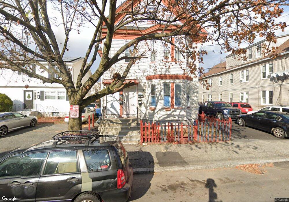
23 Crosby St Unit 25 Lawrence, MA 01843
South West NeighborhoodEstimated Value: $587,719 - $829,000
6
Beds
3
Baths
2,926
Sq Ft
$244/Sq Ft
Est. Value
About This Home
This home is located at 23 Crosby St Unit 25, Lawrence, MA 01843 and is currently estimated at $714,430, approximately $244 per square foot. 23 Crosby St Unit 25 is a home located in Essex County with nearby schools including South Terrace Elementary School, John Breen School, and Emily G. Wetherbee School (K-8).
Ownership History
Date
Name
Owned For
Owner Type
Purchase Details
Closed on
Apr 1, 2002
Sold by
Vegas Carmelo
Bought by
Rosario Carmen R and Rosario Maria C
Current Estimated Value
Home Financials for this Owner
Home Financials are based on the most recent Mortgage that was taken out on this home.
Original Mortgage
$232,333
Interest Rate
6.88%
Mortgage Type
Purchase Money Mortgage
Create a Home Valuation Report for This Property
The Home Valuation Report is an in-depth analysis detailing your home's value as well as a comparison with similar homes in the area
Home Values in the Area
Average Home Value in this Area
Purchase History
| Date | Buyer | Sale Price | Title Company |
|---|---|---|---|
| Rosario Carmen R | $236,000 | -- |
Source: Public Records
Mortgage History
| Date | Status | Borrower | Loan Amount |
|---|---|---|---|
| Open | Rosario Carmen R | $233,094 | |
| Closed | Rosario Carmen R | $232,029 | |
| Closed | Rosario Carmen R | $232,333 | |
| Previous Owner | Rosario Carmen R | $123,750 |
Source: Public Records
Tax History Compared to Growth
Tax History
| Year | Tax Paid | Tax Assessment Tax Assessment Total Assessment is a certain percentage of the fair market value that is determined by local assessors to be the total taxable value of land and additions on the property. | Land | Improvement |
|---|---|---|---|---|
| 2025 | $5,824 | $661,800 | $104,600 | $557,200 |
| 2024 | $5,894 | $637,200 | $113,300 | $523,900 |
| 2023 | $5,563 | $547,500 | $105,000 | $442,500 |
| 2022 | $5,262 | $460,000 | $95,200 | $364,800 |
| 2021 | $4,964 | $404,600 | $95,200 | $309,400 |
| 2020 | $4,774 | $384,100 | $90,300 | $293,800 |
| 2019 | $4,940 | $361,100 | $74,900 | $286,200 |
| 2018 | $4,627 | $323,100 | $71,000 | $252,100 |
| 2017 | $4,128 | $269,100 | $67,100 | $202,000 |
| 2016 | $4,033 | $260,000 | $55,300 | $204,700 |
| 2015 | $3,957 | $261,700 | $55,300 | $206,400 |
Source: Public Records
Map
Nearby Homes
- 82 S Broadway
- 13 Kingston St
- 132-134 S Broadway
- 41 Durham St
- 61 Kingston St
- 19 Front St
- 91-93 Newton St
- 82 Water St
- 49 Bowdoin St Unit 51
- 55-59 Water St
- 40 Chester St
- 629 Andover St
- 91 Farnham St
- 31 Garfield St
- 8 Packard St
- 95 Hancock St
- 45 Bodwell St
- 27-29 Dorchester St
- 37 Tewksbury St Unit 39
- 46 Amesbury St Unit 2B
- 31 Crosby St Unit 33
- 31-33 Crosby St
- 26 Crosby St Unit 28
- 46 Shattuck St
- 38 Shattuck St
- 42 Shattuck St
- 41 Crosby St
- 26-28 Crosby St
- 39 Crosby St
- 32 Shattuck St
- 30 Crosby St Unit 32
- 22 Crosby St Unit 24
- 56 Shattuck St
- 46 Crosby St Unit 48
- 60 Shattuck St
- 59 Crosby St
- 63 S Broadway
- 52 Crosby St Unit 54
- 53 S Broadway
- 81-85 S Broadway