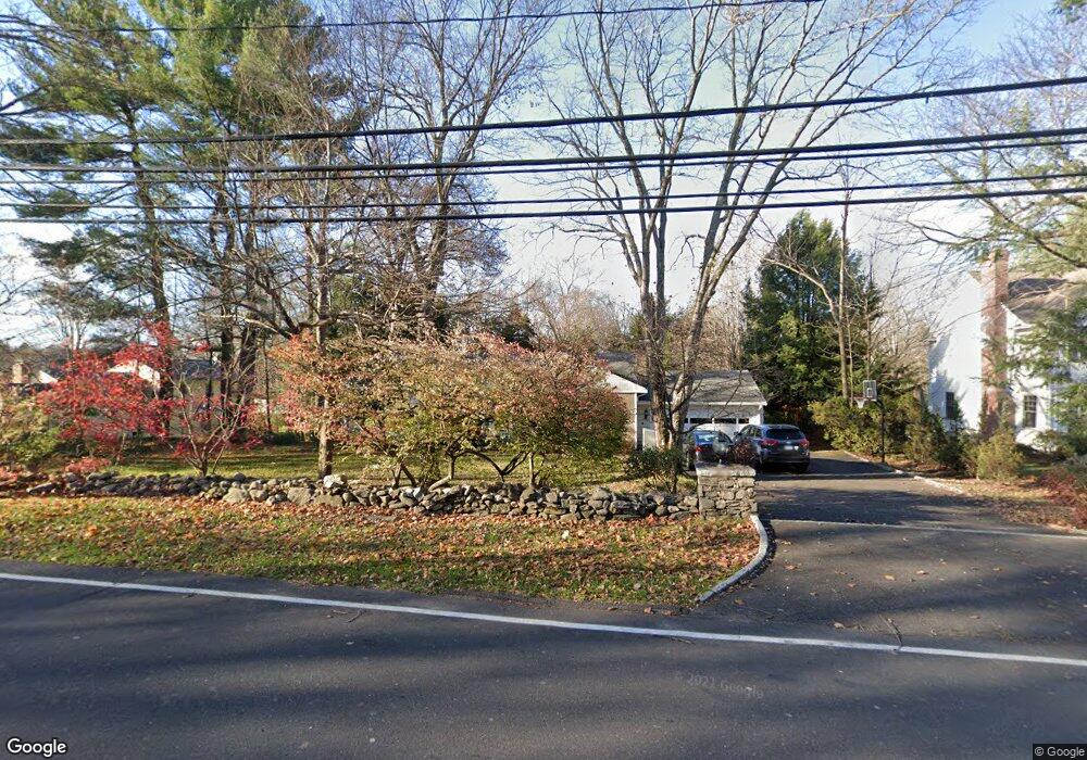
23 Cross Hwy Westport, CT 06880
Coleytown NeighborhoodEstimated Value: $1,264,324 - $1,744,000
4
Beds
2
Baths
1,593
Sq Ft
$884/Sq Ft
Est. Value
About This Home
This home is located at 23 Cross Hwy, Westport, CT 06880 and is currently estimated at $1,407,581, approximately $883 per square foot. 23 Cross Hwy is a home located in Fairfield County with nearby schools including Coleytown Elementary School, Coleytown Middle School, and Staples High School.
Ownership History
Date
Name
Owned For
Owner Type
Purchase Details
Closed on
Feb 3, 1998
Sold by
Witke Todd and Witke Vanessa
Bought by
Burns Kevin and Burns Denise
Current Estimated Value
Home Financials for this Owner
Home Financials are based on the most recent Mortgage that was taken out on this home.
Original Mortgage
$281,000
Interest Rate
7.02%
Mortgage Type
Unknown
Purchase Details
Closed on
Apr 25, 1997
Sold by
Weiss Michael
Bought by
Witke Todd and Witke Vanessa
Purchase Details
Closed on
Sep 27, 1995
Sold by
Misarti Gabriel and Misarti Anne
Bought by
Weiss Michael
Purchase Details
Closed on
Jul 6, 1993
Sold by
Smyth Harold C and Smyth Charles W
Bought by
Kelly Tallman Ptnrs
Create a Home Valuation Report for This Property
The Home Valuation Report is an in-depth analysis detailing your home's value as well as a comparison with similar homes in the area
Home Values in the Area
Average Home Value in this Area
Purchase History
| Date | Buyer | Sale Price | Title Company |
|---|---|---|---|
| Burns Kevin | $381,000 | -- | |
| Burns Kevin | $381,000 | -- | |
| Witke Todd | $337,500 | -- | |
| Witke Todd | $337,500 | -- | |
| Weiss Michael | $278,000 | -- | |
| Weiss Michael | $278,000 | -- | |
| Kelly Tallman Ptnrs | $125,000 | -- | |
| Kelly Tallman Ptnrs | $125,000 | -- |
Source: Public Records
Mortgage History
| Date | Status | Borrower | Loan Amount |
|---|---|---|---|
| Closed | Kelly Tallman Ptnrs | $262,000 | |
| Closed | Kelly Tallman Ptnrs | $281,000 |
Source: Public Records
Tax History Compared to Growth
Tax History
| Year | Tax Paid | Tax Assessment Tax Assessment Total Assessment is a certain percentage of the fair market value that is determined by local assessors to be the total taxable value of land and additions on the property. | Land | Improvement |
|---|---|---|---|---|
| 2025 | $8,925 | $473,200 | $358,400 | $114,800 |
| 2024 | $8,811 | $473,200 | $358,400 | $114,800 |
| 2023 | $8,683 | $473,200 | $358,400 | $114,800 |
| 2022 | $8,551 | $473,200 | $358,400 | $114,800 |
| 2021 | $8,551 | $473,200 | $358,400 | $114,800 |
| 2020 | $9,027 | $540,200 | $378,600 | $161,600 |
| 2019 | $41,257 | $540,200 | $378,600 | $161,600 |
| 2018 | $40,418 | $540,200 | $378,600 | $161,600 |
| 2017 | $42,813 | $540,200 | $378,600 | $161,600 |
| 2016 | $9,108 | $540,200 | $378,600 | $161,600 |
| 2015 | $8,439 | $466,500 | $290,200 | $176,300 |
| 2014 | $8,369 | $466,500 | $290,200 | $176,300 |
Source: Public Records
Map
Nearby Homes
- 3 Ln
- 15 Cross Hwy
- 489 Main St
- 3 Hickory Hill Rd
- 53 Cross Hwy
- 26 Hitchcock Rd
- 7 Wild Rose Rd
- 41 Richmondville Ave Unit 104
- 41 Richmondville Ave Unit Duplex 2
- 41 Richmondville Ave Unit 303
- 41 Richmondville Ave Unit 111
- 41 Richmondville Ave Unit 101
- 41 Richmondville Ave Unit 105
- 310 Main St
- 19A Darbrook Rd
- 3 Bolton Ln
- 19 Joann Cir
- 17 Clover Ln
- 259 Wilton Rd
- 10 Twin Falls Ln