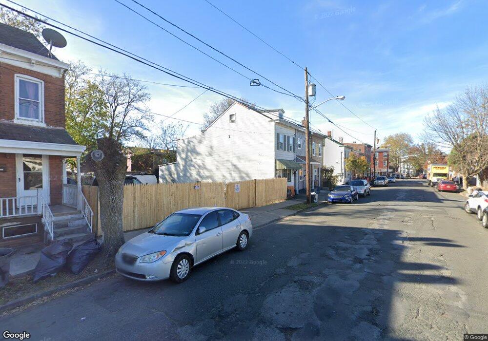
23 Cummings Ave Trenton, NJ 08611
Chambersburg NeighborhoodEstimated Value: $170,921 - $202,000
--
Bed
--
Bath
1,200
Sq Ft
$159/Sq Ft
Est. Value
About This Home
This home is located at 23 Cummings Ave, Trenton, NJ 08611 and is currently estimated at $190,230, approximately $158 per square foot. 23 Cummings Ave is a home located in Mercer County with nearby schools including Harrison Elementary School, Grace A Dunn Middle School, and Trenton Central High School - Main Campus.
Ownership History
Date
Name
Owned For
Owner Type
Purchase Details
Closed on
Oct 7, 2004
Sold by
Baldassari Giovanni
Bought by
Lawrie James and Carlino Claudia
Current Estimated Value
Home Financials for this Owner
Home Financials are based on the most recent Mortgage that was taken out on this home.
Original Mortgage
$81,000
Outstanding Balance
$40,330
Interest Rate
5.85%
Estimated Equity
$149,900
Create a Home Valuation Report for This Property
The Home Valuation Report is an in-depth analysis detailing your home's value as well as a comparison with similar homes in the area
Home Values in the Area
Average Home Value in this Area
Purchase History
| Date | Buyer | Sale Price | Title Company |
|---|---|---|---|
| Lawrie James | $90,000 | -- |
Source: Public Records
Mortgage History
| Date | Status | Borrower | Loan Amount |
|---|---|---|---|
| Open | Lawrie James | $81,000 |
Source: Public Records
Tax History Compared to Growth
Tax History
| Year | Tax Paid | Tax Assessment Tax Assessment Total Assessment is a certain percentage of the fair market value that is determined by local assessors to be the total taxable value of land and additions on the property. | Land | Improvement |
|---|---|---|---|---|
| 2025 | $2,813 | $48,500 | $9,100 | $39,400 |
| 2024 | $2,700 | $48,500 | $9,100 | $39,400 |
| 2023 | $2,700 | $48,500 | $9,100 | $39,400 |
| 2022 | $2,647 | $48,500 | $9,100 | $39,400 |
| 2021 | $2,693 | $48,500 | $9,100 | $39,400 |
| 2020 | $2,684 | $48,500 | $9,100 | $39,400 |
| 2019 | $2,641 | $48,500 | $9,100 | $39,400 |
| 2018 | $2,528 | $48,500 | $9,100 | $39,400 |
| 2017 | $2,403 | $48,500 | $9,100 | $39,400 |
| 2016 | $3,555 | $61,800 | $17,400 | $44,400 |
| 2015 | $3,543 | $61,800 | $17,400 | $44,400 |
| 2014 | $3,526 | $61,800 | $17,400 | $44,400 |
Source: Public Records
Map
Nearby Homes
- 230 Emory Ave
- 6 Hewitt St
- 800 S Clinton Ave
- 1016 Chestnut Ave
- 113 Hewitt St
- 320 Division St
- 131 Hewitt St
- 1065 S Clinton Ave
- 464 Genesee St
- 1081 S Clinton Ave
- 150 Ashmore Ave
- 984 S Broad St
- 227 Hewitt St
- 106 Woodland St
- 152 Division St
- 1911 1917 Chestnut Ave
- 415 Hudson St
- 332 Elmer St
- 222 Ashmore Ave
- 989 S Broad St
- 21 Cummings Ave
- 19 Cummings Ave
- 35 Cummings Ave
- 37 Cummings Ave
- 9 Cummings Place
- 11 Cummings Ave
- 11 Cummings Place
- 13 Cummings Place
- 39 Cummings Ave
- 15 Cummings Place
- 9 1/2 Cummings Ave
- 41 Cummings Ave
- 14 Hewitt St
- 18 Hewitt St
- 12 Hewitt St
- 9 Cummings Ave
- 215 Jersey St
- 20 Hewitt St
- 8 Hewitt St
- 7 Cummings Ave