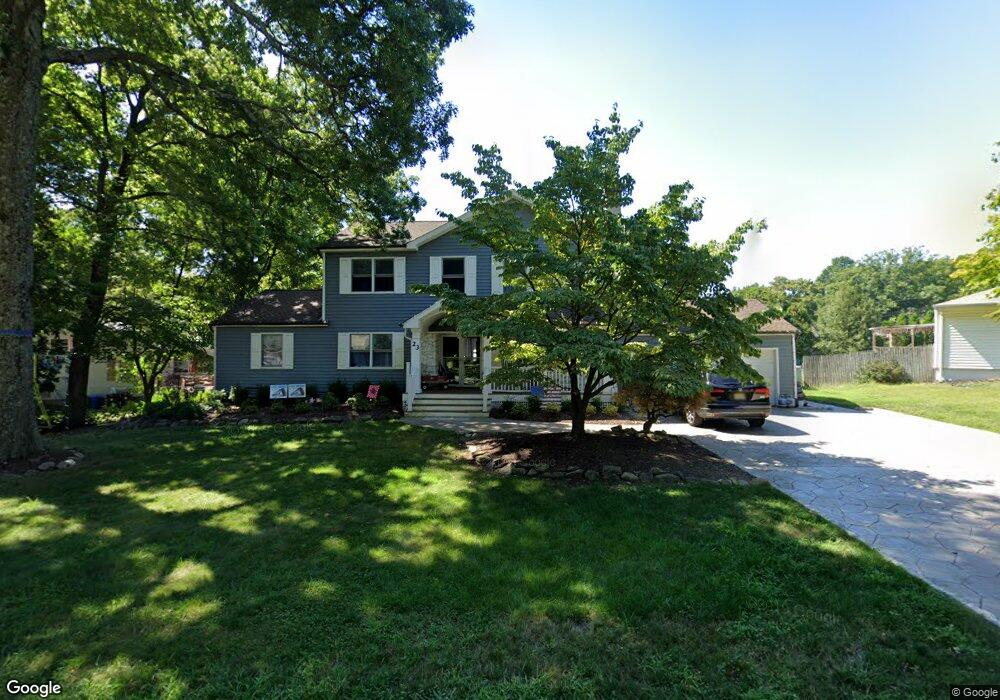
23 Dartford Rd Morris Plains, NJ 07950
Estimated Value: $838,497 - $906,000
--
Bed
--
Bath
2,893
Sq Ft
$302/Sq Ft
Est. Value
About This Home
This home is located at 23 Dartford Rd, Morris Plains, NJ 07950 and is currently estimated at $874,624, approximately $302 per square foot. 23 Dartford Rd is a home located in Morris County with nearby schools including Littleton Elementary School, Brooklawn Middle School, and Parsippany Hills High School.
Ownership History
Date
Name
Owned For
Owner Type
Purchase Details
Closed on
Apr 26, 2004
Sold by
Manno Richard
Bought by
Wallace John
Current Estimated Value
Home Financials for this Owner
Home Financials are based on the most recent Mortgage that was taken out on this home.
Original Mortgage
$367,900
Outstanding Balance
$175,521
Interest Rate
5.75%
Estimated Equity
$699,103
Purchase Details
Closed on
Oct 17, 1995
Sold by
Biegger Dennis W
Bought by
Manno Richard and Manno Patricia L
Create a Home Valuation Report for This Property
The Home Valuation Report is an in-depth analysis detailing your home's value as well as a comparison with similar homes in the area
Home Values in the Area
Average Home Value in this Area
Purchase History
| Date | Buyer | Sale Price | Title Company |
|---|---|---|---|
| Wallace John | $459,900 | -- | |
| Manno Richard | $255,250 | -- |
Source: Public Records
Mortgage History
| Date | Status | Borrower | Loan Amount |
|---|---|---|---|
| Open | Wallace John | $367,900 |
Source: Public Records
Tax History Compared to Growth
Tax History
| Year | Tax Paid | Tax Assessment Tax Assessment Total Assessment is a certain percentage of the fair market value that is determined by local assessors to be the total taxable value of land and additions on the property. | Land | Improvement |
|---|---|---|---|---|
| 2025 | $14,271 | $410,800 | $188,600 | $222,200 |
| 2024 | $14,000 | $410,800 | $188,600 | $222,200 |
| 2023 | $14,000 | $410,800 | $188,600 | $222,200 |
| 2022 | $13,026 | $410,800 | $188,600 | $222,200 |
| 2021 | $13,026 | $410,800 | $188,600 | $222,200 |
| 2020 | $12,669 | $410,800 | $188,600 | $222,200 |
| 2019 | $12,328 | $410,800 | $188,600 | $222,200 |
| 2018 | $11,979 | $410,800 | $188,600 | $222,200 |
| 2017 | $11,708 | $410,800 | $188,600 | $222,200 |
| 2016 | $11,434 | $408,200 | $188,600 | $219,600 |
| 2015 | $11,144 | $408,200 | $188,600 | $219,600 |
| 2014 | $10,981 | $372,900 | $188,600 | $184,300 |
Source: Public Records
Map
Nearby Homes
- 11 Drumlin Dr
- 34 Moraine Rd
- 91 Farmingdale Dr
- 158 Fieldcrest Rd
- 21 Holly Dr
- 233 Atlantic Dr
- 240 Atlantic Dr
- 189 Park Rd
- 162 Halsey Rd
- 417 Allentown Rd
- 206 Atlantic Dr
- 62 Brookstone Cir
- 87 Crestview Dr
- 52 Atlantic Dr
- 1 Ironwood Dr
- 711 Park Rd
- 2350 State Route 10 Unit D11
- 14 Foxwood Dr Unit E
- 7 J Foxwood Dr Unit J
- 7 D Foxwood Dr Unit D