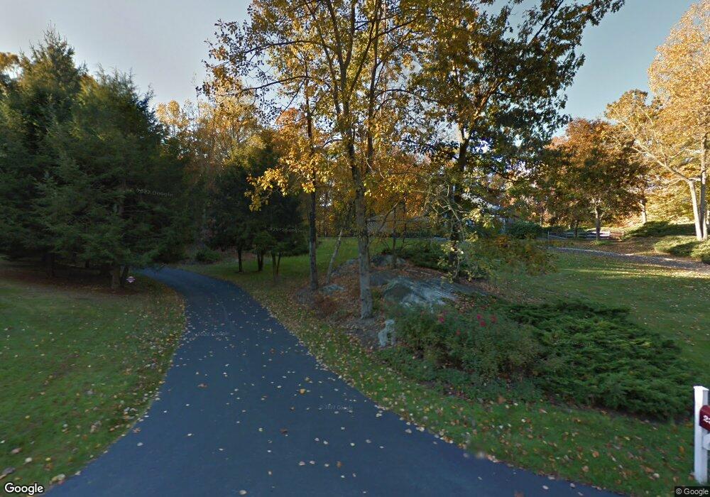
23 Doeview Ln Pound Ridge, NY 10576
Estimated Value: $1,699,898 - $1,861,000
4
Beds
3
Baths
3,765
Sq Ft
$466/Sq Ft
Est. Value
About This Home
This home is located at 23 Doeview Ln, Pound Ridge, NY 10576 and is currently estimated at $1,753,225, approximately $465 per square foot. 23 Doeview Ln is a home located in Westchester County with nearby schools including Pound Ridge Elementary School, Fox Lane Middle School, and Fox Lane High School.
Ownership History
Date
Name
Owned For
Owner Type
Purchase Details
Closed on
Dec 28, 2021
Sold by
Carl Destefanis
Bought by
23 Doe View Llc
Current Estimated Value
Purchase Details
Closed on
Feb 25, 1999
Sold by
Morse Ronald L
Bought by
Destefanis Carl and Destefanis Lena
Home Financials for this Owner
Home Financials are based on the most recent Mortgage that was taken out on this home.
Original Mortgage
$300,000
Interest Rate
6.95%
Mortgage Type
Purchase Money Mortgage
Create a Home Valuation Report for This Property
The Home Valuation Report is an in-depth analysis detailing your home's value as well as a comparison with similar homes in the area
Home Values in the Area
Average Home Value in this Area
Purchase History
| Date | Buyer | Sale Price | Title Company |
|---|---|---|---|
| 23 Doe View Llc | -- | None Listed On Document | |
| Destefanis Carl | $645,000 | American Title Ins Co |
Source: Public Records
Mortgage History
| Date | Status | Borrower | Loan Amount |
|---|---|---|---|
| Previous Owner | Destefanis Carl | $300,000 |
Source: Public Records
Tax History Compared to Growth
Tax History
| Year | Tax Paid | Tax Assessment Tax Assessment Total Assessment is a certain percentage of the fair market value that is determined by local assessors to be the total taxable value of land and additions on the property. | Land | Improvement |
|---|---|---|---|---|
| 2024 | $26,224 | $193,000 | $41,000 | $152,000 |
| 2023 | $25,145 | $193,000 | $41,000 | $152,000 |
| 2022 | $23,709 | $193,000 | $41,000 | $152,000 |
| 2021 | $23,408 | $193,000 | $41,000 | $152,000 |
| 2020 | $23,640 | $193,000 | $41,000 | $152,000 |
| 2019 | $23,829 | $193,000 | $41,000 | $152,000 |
| 2018 | $8,736 | $193,000 | $41,000 | $152,000 |
| 2017 | $0 | $193,000 | $41,000 | $152,000 |
| 2016 | $22,467 | $193,000 | $41,000 | $152,000 |
| 2015 | -- | $193,000 | $41,000 | $152,000 |
| 2014 | -- | $193,000 | $41,000 | $152,000 |
| 2013 | -- | $193,000 | $41,000 | $152,000 |
Source: Public Records
Map
Nearby Homes
- 25 Col Sheldon Ln
- 24 Twin Fawn Ln
- 0 Brook Farm Rd E
- 23 Tatomuck Rd
- 51 Major Lockwood Ln
- 27 West Ln
- 9 Old Corner Rd
- 56 Brook Farm Ln
- 21 Spring House Rd
- 54 Old Stone Hill Rd
- 28 Heron Lake Rd
- 180 Stone Hill Rd
- 17 Spring House Rd
- 49 Indian Hill Rd
- 100 Salem Rd
- 229 Trinity Pass Rd
- 65 Hickory Ln
- 1 Hemlock Hill Rd
- 199 Upper Shad Rd
- 32 Joshua Hobby Ln