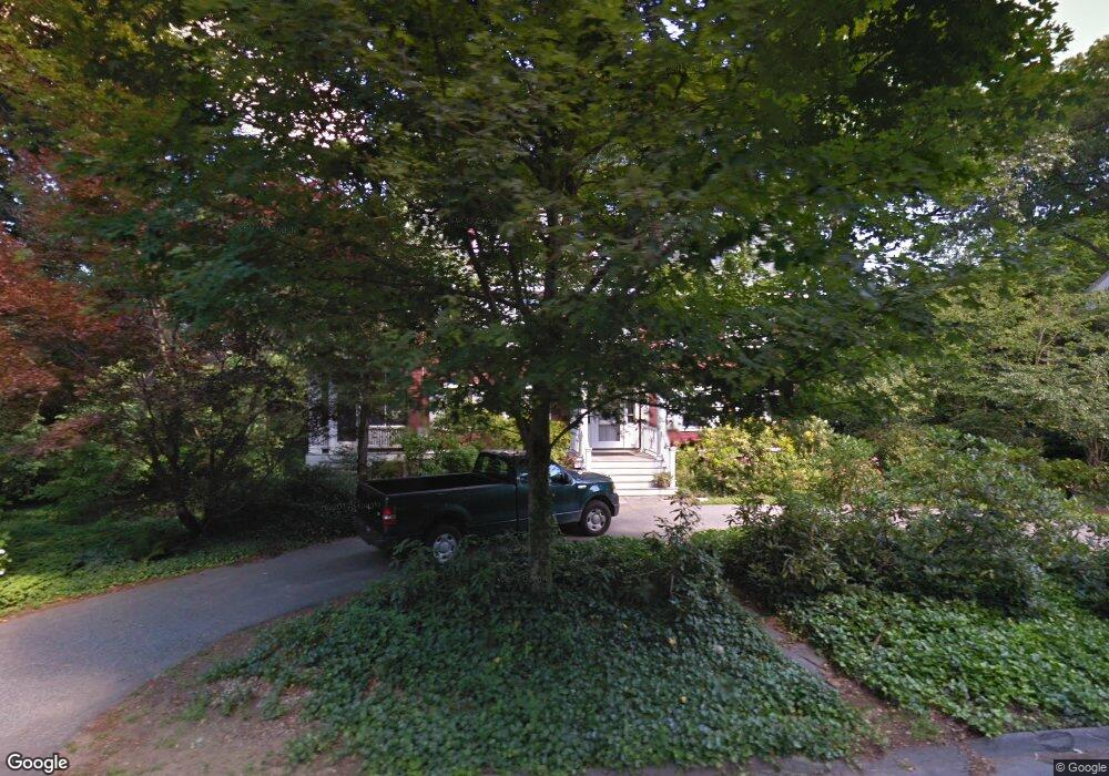
23 Eliot Rd Lexington, MA 02421
Munroe Hill NeighborhoodEstimated Value: $2,628,562 - $3,401,000
5
Beds
4
Baths
4,473
Sq Ft
$658/Sq Ft
Est. Value
About This Home
This home is located at 23 Eliot Rd, Lexington, MA 02421 and is currently estimated at $2,941,141, approximately $657 per square foot. 23 Eliot Rd is a home located in Middlesex County with nearby schools including Bowman Elementary School, Jonas Clarke Middle School, and Lexington High School.
Ownership History
Date
Name
Owned For
Owner Type
Purchase Details
Closed on
Aug 3, 1998
Sold by
Stone David D and Stone Valerie B
Bought by
Aubin Dominique and Rothbard Janis
Current Estimated Value
Home Financials for this Owner
Home Financials are based on the most recent Mortgage that was taken out on this home.
Original Mortgage
$895,000
Outstanding Balance
$177,026
Interest Rate
6.92%
Mortgage Type
Purchase Money Mortgage
Estimated Equity
$2,764,115
Purchase Details
Closed on
Sep 25, 1996
Sold by
Raffel Jack I and Raffel Margaret A
Bought by
Stone David D and Stone Valerie B
Home Financials for this Owner
Home Financials are based on the most recent Mortgage that was taken out on this home.
Original Mortgage
$475,000
Interest Rate
7.83%
Mortgage Type
Purchase Money Mortgage
Create a Home Valuation Report for This Property
The Home Valuation Report is an in-depth analysis detailing your home's value as well as a comparison with similar homes in the area
Home Values in the Area
Average Home Value in this Area
Purchase History
| Date | Buyer | Sale Price | Title Company |
|---|---|---|---|
| Aubin Dominique | $895,000 | -- | |
| Stone David D | $740,000 | -- |
Source: Public Records
Mortgage History
| Date | Status | Borrower | Loan Amount |
|---|---|---|---|
| Open | Stone David D | $895,000 | |
| Previous Owner | Stone David D | $475,000 | |
| Previous Owner | Stone David D | $200,000 | |
| Previous Owner | Stone David D | $100,000 |
Source: Public Records
Tax History Compared to Growth
Tax History
| Year | Tax Paid | Tax Assessment Tax Assessment Total Assessment is a certain percentage of the fair market value that is determined by local assessors to be the total taxable value of land and additions on the property. | Land | Improvement |
|---|---|---|---|---|
| 2025 | $28,459 | $2,327,000 | $1,153,000 | $1,174,000 |
| 2024 | $28,298 | $2,310,000 | $1,098,000 | $1,212,000 |
| 2023 | $29,029 | $2,233,000 | $999,000 | $1,234,000 |
| 2022 | $29,753 | $2,156,000 | $908,000 | $1,248,000 |
| 2021 | $28,507 | $1,981,000 | $865,000 | $1,116,000 |
| 2020 | $27,496 | $1,957,000 | $865,000 | $1,092,000 |
| 2019 | $26,390 | $1,869,000 | $824,000 | $1,045,000 |
| 2018 | $7,290 | $1,752,000 | $762,000 | $990,000 |
| 2017 | $23,836 | $1,645,000 | $726,000 | $919,000 |
| 2016 | $22,864 | $1,566,000 | $667,000 | $899,000 |
| 2015 | $21,265 | $1,431,000 | $606,000 | $825,000 |
| 2014 | $20,690 | $1,334,000 | $543,000 | $791,000 |
Source: Public Records
Map
Nearby Homes
- 10 Eliot Rd
- 1437 Massachusetts Ave
- 1 Tricorne Rd
- 42 Winthrop Rd
- 20 Marrett Rd
- 223 Waltham St
- 25 Maple St
- 36 Independence Ave
- 24 Grapevine Ave
- 35 Tower Rd
- 5 Carnegie Place
- 32 Forest St
- 20 Loring Rd
- 197 Woburn St
- 1894 Massachusetts Ave
- 1900 Massachusetts Ave
- 21 Valleyfield St
- 30 Meriam St Unit 30
- 32 Edgewood Rd Unit 1
- 69 Bridge St