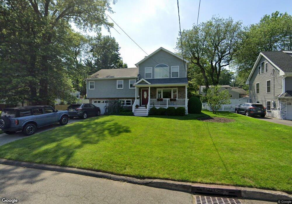
23 Emerson St Cresskill, NJ 07626
Estimated Value: $1,006,000 - $1,194,000
--
Bed
--
Bath
2,192
Sq Ft
$504/Sq Ft
Est. Value
About This Home
This home is located at 23 Emerson St, Cresskill, NJ 07626 and is currently estimated at $1,104,420, approximately $503 per square foot. 23 Emerson St is a home located in Bergen County with nearby schools including Cresskill High School and Spring School.
Ownership History
Date
Name
Owned For
Owner Type
Purchase Details
Closed on
Aug 31, 2011
Sold by
88 Union St Llc
Bought by
Hunter Ian and Hunter Danielle
Current Estimated Value
Home Financials for this Owner
Home Financials are based on the most recent Mortgage that was taken out on this home.
Original Mortgage
$621,000
Outstanding Balance
$427,687
Interest Rate
4.38%
Mortgage Type
Purchase Money Mortgage
Estimated Equity
$676,733
Purchase Details
Closed on
Dec 13, 2010
Sold by
Ingui John and Ingui Wilma
Bought by
88 Union St Llc
Create a Home Valuation Report for This Property
The Home Valuation Report is an in-depth analysis detailing your home's value as well as a comparison with similar homes in the area
Home Values in the Area
Average Home Value in this Area
Purchase History
| Date | Buyer | Sale Price | Title Company |
|---|---|---|---|
| Hunter Ian | $690,000 | -- | |
| 88 Union St Llc | $340,000 | -- |
Source: Public Records
Mortgage History
| Date | Status | Borrower | Loan Amount |
|---|---|---|---|
| Open | Hunter Ian | $621,000 |
Source: Public Records
Tax History Compared to Growth
Tax History
| Year | Tax Paid | Tax Assessment Tax Assessment Total Assessment is a certain percentage of the fair market value that is determined by local assessors to be the total taxable value of land and additions on the property. | Land | Improvement |
|---|---|---|---|---|
| 2025 | $16,440 | $767,900 | $370,000 | $397,900 |
| 2024 | $15,936 | $714,800 | $332,000 | $382,800 |
| 2023 | $15,609 | $686,600 | $314,500 | $372,100 |
| 2022 | $15,609 | $648,500 | $291,500 | $357,000 |
| 2021 | $15,392 | $630,300 | $284,000 | $346,300 |
| 2020 | $14,575 | $599,300 | $275,500 | $323,800 |
| 2019 | $14,196 | $589,800 | $272,000 | $317,800 |
| 2018 | $9,826 | $582,800 | $269,000 | $313,800 |
| 2017 | $13,811 | $507,400 | $216,000 | $291,400 |
| 2016 | $13,400 | $507,400 | $216,000 | $291,400 |
| 2015 | $12,984 | $507,400 | $216,000 | $291,400 |
| 2014 | $12,594 | $507,400 | $216,000 | $291,400 |
Source: Public Records
Map
Nearby Homes
- 126 Grant Ave
- 279 Jefferson Ave
- 72 Roosevelt St
- 91 Madison Ave
- 181 5th St
- 254 Concord St
- 36 Morningside Ave
- 41 Monument Place
- 9 Maple Ave
- 373 Piermont Rd
- 15 Burns Place
- 41 Sunset Rd
- 56 E Madison Ave
- 21 Meadow St
- 3 Fairfield Ct
- 5 Cedar Ct
- 25 Division St Unit 403
- 7 Cedar Ct
- 4 Cedar Ct
- 5 Tenakill Park E Unit 217
- 31 Emerson St
- 15 Emerson St
- 120 Brookside Ave
- 126 Brookside Ave
- 108 Brookside Ave
- 26 Emerson St
- 5 Emerson St
- 132 Brookside Ave
- 38 Emerson St
- 39 Emerson St
- 16 Emerson St
- 102 Brookside Ave
- 42 Emerson St
- 138 Brookside Ave
- 15 Tenakill Rd
- 111 Brookside Ave
- 117 Brookside Ave
- 6 Emerson St
- 47 Emerson St
- 25 Tenakill Rd