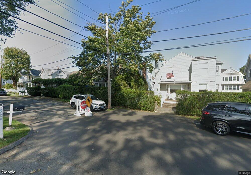
23 Ensign Rd Norwalk, CT 06853
Rowayton NeighborhoodEstimated Value: $1,711,484 - $2,516,000
4
Beds
3
Baths
1,792
Sq Ft
$1,179/Sq Ft
Est. Value
About This Home
This home is located at 23 Ensign Rd, Norwalk, CT 06853 and is currently estimated at $2,112,121, approximately $1,178 per square foot. 23 Ensign Rd is a home located in Fairfield County with nearby schools including Rowayton Elementary School, Roton Middle School, and Brien Mcmahon High School.
Ownership History
Date
Name
Owned For
Owner Type
Purchase Details
Closed on
Jul 23, 2012
Sold by
Digiovanna Anne
Bought by
Cooney Anne
Current Estimated Value
Home Financials for this Owner
Home Financials are based on the most recent Mortgage that was taken out on this home.
Original Mortgage
$950,000
Interest Rate
3.7%
Purchase Details
Closed on
Jun 2, 2006
Sold by
Dila Carl
Bought by
Digiovanna Anne C and Hall Leslie T
Purchase Details
Closed on
May 18, 1998
Sold by
Packer Jeffrey and Packer Margaret
Bought by
Dila Carl and Dila Franceen P
Purchase Details
Closed on
Apr 28, 1995
Sold by
Maguire John and Maguire Clare
Bought by
Packer Jeffrey and Packer Margaret
Create a Home Valuation Report for This Property
The Home Valuation Report is an in-depth analysis detailing your home's value as well as a comparison with similar homes in the area
Home Values in the Area
Average Home Value in this Area
Purchase History
| Date | Buyer | Sale Price | Title Company |
|---|---|---|---|
| Cooney Anne | $1,337,000 | -- | |
| Cooney Anne | $1,337,000 | -- | |
| Digiovanna Anne C | $1,626,501 | -- | |
| Digiovanna Anne C | $1,626,501 | -- | |
| Dila Carl | $645,000 | -- | |
| Dila Carl | $645,000 | -- | |
| Packer Jeffrey | $424,000 | -- | |
| Packer Jeffrey | $424,000 | -- |
Source: Public Records
Mortgage History
| Date | Status | Borrower | Loan Amount |
|---|---|---|---|
| Open | Packer Jeffrey | $910,000 | |
| Closed | Packer Jeffrey | $950,000 |
Source: Public Records
Tax History
| Year | Tax Paid | Tax Assessment Tax Assessment Total Assessment is a certain percentage of the fair market value that is determined by local assessors to be the total taxable value of land and additions on the property. | Land | Improvement |
|---|---|---|---|---|
| 2025 | $23,673 | $1,057,230 | $790,360 | $266,870 |
| 2024 | $23,309 | $1,057,230 | $790,360 | $266,870 |
| 2023 | $19,956 | $834,120 | $635,040 | $199,080 |
| 2022 | $19,130 | $834,080 | $635,000 | $199,080 |
| 2021 | $18,492 | $834,120 | $635,040 | $199,080 |
| 2020 | $18,561 | $834,120 | $635,040 | $199,080 |
| 2019 | $17,846 | $834,120 | $635,040 | $199,080 |
| 2018 | $17,024 | $703,660 | $516,980 | $186,680 |
| 2017 | $16,404 | $703,660 | $516,980 | $186,680 |
| 2016 | $16,142 | $703,660 | $516,980 | $186,680 |
| 2015 | $16,079 | $703,660 | $516,980 | $186,680 |
| 2014 | $15,780 | $703,660 | $516,980 | $186,680 |
Source: Public Records
Map
Nearby Homes
- 22 Ensign Rd
- 24 Westmere Ave
- 6 Richmond Rd
- 22 Harstrom Place
- 166 Rowayton Ave Unit 2
- 17 Contentment Island Rd
- 3 Bittersweet Trail
- 3 Hilltop Rd
- 18 Tokeneke Trail
- 40 Tory Hill Ln
- 14 5 Mile River Rd
- 5 Little Brook Rd
- 10 Cross Rd
- 9 Arnold Ln
- 18 Winding Ln
- 40 Arnold Ln
- 119 Rowayton Woods Dr Unit 119
- 6 Acorn Ln
- 9 Knollwood Rd
- 5 Outer Rd
Your Personal Tour Guide
Ask me questions while you tour the home.