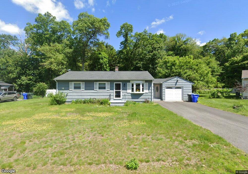
23 Feltham Rd Springfield, MA 01118
Sixteen Acres NeighborhoodEstimated Value: $271,000 - $333,000
3
Beds
1
Bath
999
Sq Ft
$303/Sq Ft
Est. Value
About This Home
This home is located at 23 Feltham Rd, Springfield, MA 01118 and is currently estimated at $303,132, approximately $303 per square foot. 23 Feltham Rd is a home located in Hampden County with nearby schools including Arthur T Talmadge Elementary School, M Marcus Kiley Middle, and Springfield High School of Science and Technology.
Ownership History
Date
Name
Owned For
Owner Type
Purchase Details
Closed on
Nov 19, 2008
Sold by
Khampadith Alina D and Lee Chang
Bought by
Khampadith Alina
Current Estimated Value
Purchase Details
Closed on
Jun 30, 1998
Sold by
Tracy Craig P and Tracy Deborah L
Bought by
Lee Chang and Khampadith Douang
Home Financials for this Owner
Home Financials are based on the most recent Mortgage that was taken out on this home.
Original Mortgage
$77,900
Interest Rate
7.09%
Mortgage Type
Purchase Money Mortgage
Purchase Details
Closed on
Aug 1, 1988
Sold by
Pringle Larry
Bought by
Tracy Craig P
Home Financials for this Owner
Home Financials are based on the most recent Mortgage that was taken out on this home.
Original Mortgage
$85,600
Interest Rate
10.39%
Mortgage Type
Purchase Money Mortgage
Create a Home Valuation Report for This Property
The Home Valuation Report is an in-depth analysis detailing your home's value as well as a comparison with similar homes in the area
Home Values in the Area
Average Home Value in this Area
Purchase History
| Date | Buyer | Sale Price | Title Company |
|---|---|---|---|
| Khampadith Alina | -- | -- | |
| Lee Chang | $82,000 | -- | |
| Tracy Craig P | $107,000 | -- |
Source: Public Records
Mortgage History
| Date | Status | Borrower | Loan Amount |
|---|---|---|---|
| Previous Owner | Tracy Craig P | $77,900 | |
| Previous Owner | Tracy Craig P | $80,000 | |
| Previous Owner | Tracy Craig P | $84,000 | |
| Previous Owner | Tracy Craig P | $85,600 |
Source: Public Records
Tax History Compared to Growth
Tax History
| Year | Tax Paid | Tax Assessment Tax Assessment Total Assessment is a certain percentage of the fair market value that is determined by local assessors to be the total taxable value of land and additions on the property. | Land | Improvement |
|---|---|---|---|---|
| 2025 | $3,972 | $253,300 | $58,200 | $195,100 |
| 2024 | $3,790 | $236,000 | $58,200 | $177,800 |
| 2023 | $3,548 | $208,100 | $55,400 | $152,700 |
| 2022 | $3,589 | $190,700 | $55,400 | $135,300 |
| 2021 | $3,035 | $160,600 | $50,400 | $110,200 |
| 2020 | $3,070 | $157,200 | $50,400 | $106,800 |
| 2019 | $2,879 | $146,300 | $50,400 | $95,900 |
| 2018 | $2,793 | $141,900 | $50,400 | $91,500 |
| 2017 | $2,627 | $133,600 | $50,400 | $83,200 |
| 2016 | $2,668 | $135,700 | $50,400 | $85,300 |
| 2015 | $2,569 | $130,600 | $50,400 | $80,200 |
Source: Public Records
Map
Nearby Homes
- 82 Louis Rd
- 41 Hillside Dr
- 86 Talmadge Dr
- 41 Kerry Dr
- 331 Newhouse St
- 17 Pebble Mill Rd
- 54 Shady Brook Ln
- 99 W Crystal Brook Dr
- 43 Sunridge Dr
- 399 Elm St
- 55 Allen St
- 206 Treetop Ave
- 15 Lynwood Rd
- 767 S Branch Pkwy
- 125 Manor Ct Unit 125
- 196 Sawmill Rd
- 5 Manor Ct Unit 5
- 19 Manor Ct Unit 19
- 19 Westminster St
- 101 Regal St