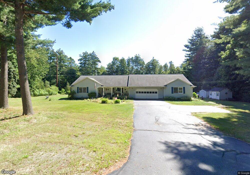
23 Fenton Rd Monson, MA 01057
Estimated Value: $527,570 - $648,000
4
Beds
4
Baths
2,674
Sq Ft
$221/Sq Ft
Est. Value
About This Home
This home is located at 23 Fenton Rd, Monson, MA 01057 and is currently estimated at $592,143, approximately $221 per square foot. 23 Fenton Rd is a home located in Hampden County with nearby schools including Quarry Hill Community School, Granite Valley School, and Monson High School.
Ownership History
Date
Name
Owned For
Owner Type
Purchase Details
Closed on
May 14, 2014
Sold by
Moriarty Robert J and Moriarty Christine L
Bought by
Moriarty Daniel R and Patenaude Amanda C
Current Estimated Value
Purchase Details
Closed on
Jan 26, 2004
Sold by
Moriarty Christine L
Bought by
Moriarty Christine L and Moriarty Robert J
Purchase Details
Closed on
Jul 2, 1992
Sold by
North Robert E and North Florence M
Bought by
Moriarty Robert J and Moriarty Christine
Create a Home Valuation Report for This Property
The Home Valuation Report is an in-depth analysis detailing your home's value as well as a comparison with similar homes in the area
Home Values in the Area
Average Home Value in this Area
Purchase History
| Date | Buyer | Sale Price | Title Company |
|---|---|---|---|
| Moriarty Daniel R | -- | -- | |
| Moriarty Christine L | -- | -- | |
| Moriarty Christine L | -- | -- | |
| Moriarty Robert J | $43,000 | -- | |
| Moriarty Daniel R | -- | -- | |
| Moriarty Christine L | -- | -- | |
| Moriarty Robert J | $43,000 | -- |
Source: Public Records
Mortgage History
| Date | Status | Borrower | Loan Amount |
|---|---|---|---|
| Previous Owner | Moriarty Robert J | $200,000 | |
| Previous Owner | Moriarty Robert J | $30,000 | |
| Previous Owner | Moriarty Robert J | $50,000 |
Source: Public Records
Tax History Compared to Growth
Tax History
| Year | Tax Paid | Tax Assessment Tax Assessment Total Assessment is a certain percentage of the fair market value that is determined by local assessors to be the total taxable value of land and additions on the property. | Land | Improvement |
|---|---|---|---|---|
| 2025 | $6,855 | $461,000 | $68,700 | $392,300 |
| 2024 | $6,691 | $431,700 | $68,700 | $363,000 |
| 2023 | $6,227 | $392,600 | $68,700 | $323,900 |
| 2022 | $5,912 | $331,600 | $68,700 | $262,900 |
| 2021 | $5,579 | $307,900 | $68,700 | $239,200 |
| 2020 | $5,625 | $307,900 | $68,700 | $239,200 |
| 2019 | $5,372 | $292,900 | $68,700 | $224,200 |
| 2018 | $5,196 | $295,200 | $76,100 | $219,100 |
| 2017 | $4,936 | $283,500 | $72,900 | $210,600 |
| 2016 | $4,845 | $283,000 | $70,000 | $213,000 |
| 2015 | $4,718 | $283,000 | $70,000 | $213,000 |
| 2014 | $4,199 | $259,200 | $70,000 | $189,200 |
Source: Public Records
Map
Nearby Homes
- 9 Silva St
- 1415 Park St
- 268 Palmer Rd Unit 27
- 268 Palmer Rd Unit 57
- 268 Palmer Rd Unit 44
- 11 Allen St
- 169 Palmer Rd
- 7 Cedar Hill St
- 4 Salem St
- 65 Breckenridge St
- 0 Palmer Rd
- 72 Quaboag Valley Co Op St Unit 70
- 2034 Pleasant St
- 0 Bethany Rd
- 16 Old Farm Rd
- 22 Beebe Rd
- 207 Breckenridge St
- 44 Converse St
- 0 Flynt St
- 20 Country Club Dr