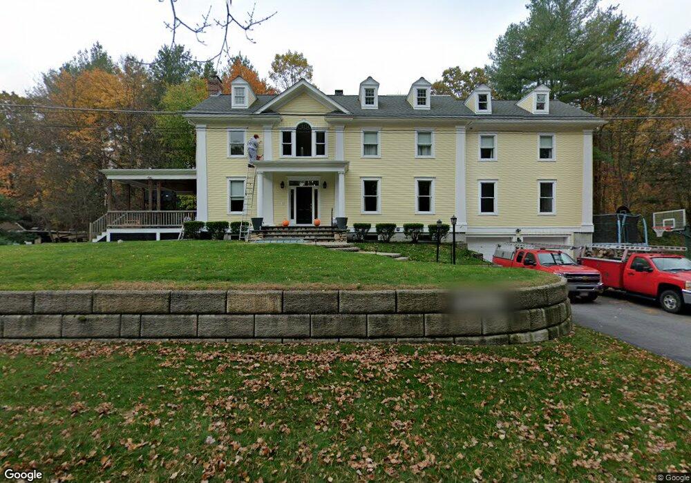
23 Flintlock Ln Unit 1 Sudbury, MA 01776
Estimated Value: $1,490,000 - $1,677,000
1
Bed
1
Bath
700
Sq Ft
$2,277/Sq Ft
Est. Value
About This Home
This home is located at 23 Flintlock Ln Unit 1, Sudbury, MA 01776 and is currently estimated at $1,593,619, approximately $2,276 per square foot. 23 Flintlock Ln Unit 1 is a home located in Middlesex County with nearby schools including General John Nixon Elementary School, Ephraim Curtis Middle School, and Lincoln-Sudbury Regional High School.
Ownership History
Date
Name
Owned For
Owner Type
Purchase Details
Closed on
Aug 23, 2016
Sold by
Provencher Martin and Provencher Tanya
Bought by
Provencher Martin
Current Estimated Value
Purchase Details
Closed on
Dec 14, 2004
Sold by
Arpino Donna D
Bought by
Provencher Martin and Provencher Tanya
Purchase Details
Closed on
Oct 4, 2004
Sold by
Demarco Land T and Demarco D
Bought by
Arpino Donna D and Demarco D
Create a Home Valuation Report for This Property
The Home Valuation Report is an in-depth analysis detailing your home's value as well as a comparison with similar homes in the area
Home Values in the Area
Average Home Value in this Area
Purchase History
| Date | Buyer | Sale Price | Title Company |
|---|---|---|---|
| Provencher Martin | -- | -- | |
| Provencher Martin | -- | -- | |
| Provencher Martin | $350,000 | -- | |
| Provencher Martin | $350,000 | -- | |
| Arpino Donna D | -- | -- | |
| Demarco Land T | -- | -- | |
| Arpino Donna D | -- | -- |
Source: Public Records
Tax History Compared to Growth
Tax History
| Year | Tax Paid | Tax Assessment Tax Assessment Total Assessment is a certain percentage of the fair market value that is determined by local assessors to be the total taxable value of land and additions on the property. | Land | Improvement |
|---|---|---|---|---|
| 2025 | $22,894 | $1,563,800 | $392,100 | $1,171,700 |
| 2024 | $22,042 | $1,508,700 | $380,600 | $1,128,100 |
| 2023 | $20,501 | $1,300,000 | $352,300 | $947,700 |
| 2022 | $19,523 | $1,081,600 | $323,100 | $758,500 |
| 2021 | $18,122 | $962,400 | $323,100 | $639,300 |
| 2020 | $17,756 | $962,400 | $323,100 | $639,300 |
| 2019 | $17,237 | $962,400 | $323,100 | $639,300 |
| 2018 | $16,271 | $907,500 | $340,100 | $567,400 |
| 2017 | $15,929 | $897,900 | $336,000 | $561,900 |
| 2016 | $15,465 | $868,800 | $323,100 | $545,700 |
| 2015 | $15,199 | $863,600 | $328,800 | $534,800 |
| 2014 | $15,201 | $843,100 | $319,100 | $524,000 |
Source: Public Records
Map
Nearby Homes
- 63 Canterbury Dr
- 14 Frost Ln
- 55 Widow Rites Ln
- 45 Widow Rites Ln
- 427 Concord Rd
- 24 Goodnow Rd
- 42 Dakin Rd
- 5 Taintor Dr
- 54 Phillips Rd
- 12 Camperdown Ln
- 36 Old Forge Ln
- 16 Blacksmith Dr
- 57 Longfellow Rd
- 4 Elderberry Cir
- 29 Longfellow Rd
- 941 Concord Rd
- 47 Fairbank Rd
- Lot 5 Sailaway Ln
- 45 N Crescent Cir
- Lot 4 Sailaway Ln