Estimated Value: $1,248,000 - $1,552,000
4
Beds
3
Baths
2,844
Sq Ft
$490/Sq Ft
Est. Value
About This Home
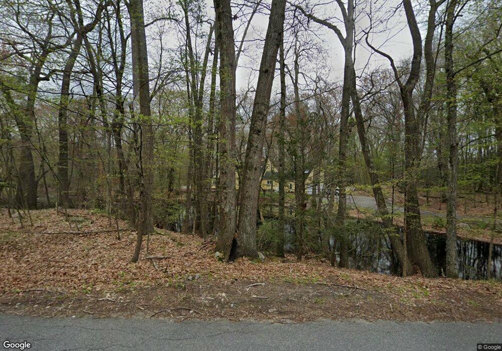
This home is located at 23 Fort Pond Rd, Acton, MA 01720 and is currently estimated at $1,394,506, approximately $490 per square foot. 23 Fort Pond Rd is a home located in Middlesex County with nearby schools including Acton-Boxborough Regional High School.
Ownership History
Date
Name
Owned For
Owner Type
Purchase Details
Closed on
May 4, 2010
Sold by
Merrill Sally Roe
Bought by
Sally Roe Merrill Rt
Current Estimated Value
Purchase Details
Closed on
Aug 20, 1993
Sold by
Benson Albert H and Benson Constance C
Bought by
Merrill Sally R
Home Financials for this Owner
Home Financials are based on the most recent Mortgage that was taken out on this home.
Original Mortgage
$120,000
Interest Rate
7.11%
Mortgage Type
Purchase Money Mortgage
Purchase Details
Closed on
Dec 2, 1987
Sold by
Dishman Robert A
Bought by
Benson Albert H
Create a Home Valuation Report for This Property
The Home Valuation Report is an in-depth analysis detailing your home's value as well as a comparison with similar homes in the area
Home Values in the Area
Average Home Value in this Area
Purchase History
| Date | Buyer | Sale Price | Title Company |
|---|---|---|---|
| Sally Roe Merrill Rt | -- | -- | |
| Merrill Sally R | $500,000 | -- | |
| Benson Albert H | $530,000 | -- |
Source: Public Records
Mortgage History
| Date | Status | Borrower | Loan Amount |
|---|---|---|---|
| Previous Owner | Benson Albert H | $50,000 | |
| Previous Owner | Benson Albert H | $120,000 |
Source: Public Records
Tax History Compared to Growth
Tax History
| Year | Tax Paid | Tax Assessment Tax Assessment Total Assessment is a certain percentage of the fair market value that is determined by local assessors to be the total taxable value of land and additions on the property. | Land | Improvement |
|---|---|---|---|---|
| 2025 | $18,273 | $1,065,500 | $435,700 | $629,800 |
| 2024 | $17,233 | $1,033,800 | $435,700 | $598,100 |
| 2023 | $17,467 | $994,700 | $396,600 | $598,100 |
| 2022 | $15,743 | $809,400 | $346,200 | $463,200 |
| 2021 | $15,468 | $764,600 | $321,400 | $443,200 |
| 2020 | $14,266 | $741,500 | $321,400 | $420,100 |
| 2019 | $13,892 | $717,200 | $321,400 | $395,800 |
| 2018 | $13,634 | $703,500 | $321,400 | $382,100 |
| 2017 | $13,409 | $703,500 | $321,400 | $382,100 |
| 2016 | $12,855 | $668,500 | $321,400 | $347,100 |
| 2015 | $14,124 | $741,400 | $394,500 | $346,900 |
| 2014 | $13,808 | $709,900 | $394,500 | $315,400 |
Source: Public Records
Map
Nearby Homes
- 200 Newtown Rd
- 4 Omega Way
- 27 Lincoln Dr
- 9 Lillian Rd
- 163 Nagog Hill Rd
- 117 Skyline Dr Unit 117
- 54 Mohawk Dr
- 9 Breezy Point Rd
- 417 Central St
- 31 Mohawk Dr
- 524 Main St
- 484 Great Rd
- 484 Great Rd
- 31 Springfield Dr
- 484 Great Road -6
- 484 Great Road -4
- 484 Great Road -3
- 709 Main St
- 491 Main St
- 18 Captain Browns Ln
- 23 Fort Pond Rd
- 23 Fort Pond Rd
- 19 Fort Pond Rd
- 59 Fort Pond Rd
- 38 Fort Pond Rd
- 21 Fort Pond Rd
- 27 Fort Pond Rd
- 15 Fort Pond Rd
- 11 Fort Pond Rd
- 31 Fort Pond Rd
- 18 Fort Pond Rd
- 35 Fort Pond Rd
- 10 Fort Pond Rd
- 39 Fort Pond Rd
- 47 Fort Pond Rd
- 22 Fort Pond Rd
- 30 Fort Pond Rd
- 30 Fort Pond Rd
- 3 Fort Pond Rd
- 183 Newtown Rd