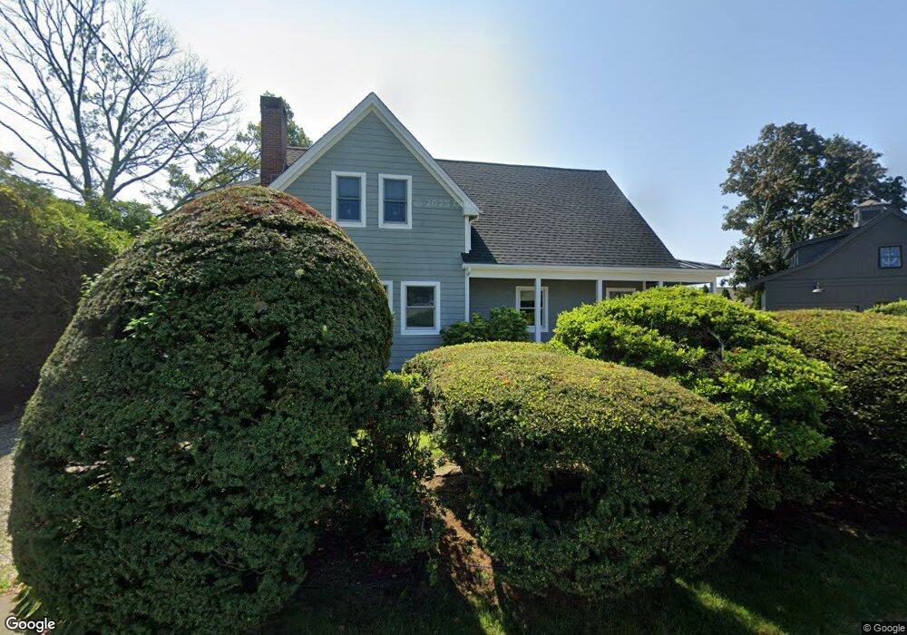
23 Hammock Rd Clinton, CT 06413
Estimated Value: $829,000 - $1,462,000
2
Beds
4
Baths
2,754
Sq Ft
$422/Sq Ft
Est. Value
About This Home
This home is located at 23 Hammock Rd, Clinton, CT 06413 and is currently estimated at $1,163,300, approximately $422 per square foot. 23 Hammock Rd is a home located in Middlesex County with nearby schools including Lewin G. Joel Jr. School and The Morgan School.
Ownership History
Date
Name
Owned For
Owner Type
Purchase Details
Closed on
Dec 29, 2010
Sold by
Salafia Michelle
Bought by
Salafia Michelle and Sherbondy Shelley
Current Estimated Value
Purchase Details
Closed on
Apr 3, 1995
Sold by
Salafia Sebastian J
Bought by
Salafia Michelle A
Create a Home Valuation Report for This Property
The Home Valuation Report is an in-depth analysis detailing your home's value as well as a comparison with similar homes in the area
Home Values in the Area
Average Home Value in this Area
Purchase History
| Date | Buyer | Sale Price | Title Company |
|---|---|---|---|
| Salafia Michelle | -- | -- | |
| Salafia Michelle | -- | -- | |
| Salafia Michelle A | $120,000 | -- | |
| Salafia Michelle A | $120,000 | -- |
Source: Public Records
Mortgage History
| Date | Status | Borrower | Loan Amount |
|---|---|---|---|
| Previous Owner | Salafia Michelle A | $165,000 | |
| Previous Owner | Salafia Michelle A | $150,000 | |
| Previous Owner | Salafia Michelle A | $36,000 |
Source: Public Records
Tax History
| Year | Tax Paid | Tax Assessment Tax Assessment Total Assessment is a certain percentage of the fair market value that is determined by local assessors to be the total taxable value of land and additions on the property. | Land | Improvement |
|---|---|---|---|---|
| 2025 | $13,618 | $437,313 | $192,113 | $245,200 |
| 2024 | $12,685 | $419,213 | $192,113 | $227,100 |
| 2023 | $12,505 | $419,213 | $192,113 | $227,100 |
| 2022 | $12,505 | $419,213 | $192,113 | $227,100 |
| 2021 | $12,356 | $414,200 | $203,800 | $210,400 |
| 2020 | $12,944 | $414,200 | $203,800 | $210,400 |
| 2019 | $12,944 | $414,200 | $203,800 | $210,400 |
| 2018 | $12,650 | $414,200 | $203,800 | $210,400 |
| 2017 | $12,389 | $414,200 | $203,800 | $210,400 |
| 2016 | $11,241 | $414,200 | $203,800 | $210,400 |
| 2015 | $11,573 | $432,300 | $198,200 | $234,100 |
| 2014 | $11,357 | $432,300 | $198,200 | $234,100 |
Source: Public Records
Map
Nearby Homes
- 9 Loop Rd
- 49 + 51 Uncas Rd
- 75 Shore Rd
- 144 Shore Rd
- 0 E Main St
- 192 E Main St
- 167 Shore Rd
- 280 E Main St Unit E2
- 24 Indian Dr
- 176 Shore Rd
- 39 Founders Village Unit 39
- 81 Founders Village Unit 81
- 0 Causeway
- 144 E Main St Unit 5
- 153 E Main St Unit 10
- 153 E Main St Unit 13
- 153 E Main St Unit 31
- 153 E Main St Unit 8
- 153 E Main St Unit 9
- 153 E Main St Unit 6
Your Personal Tour Guide
Ask me questions while you tour the home.