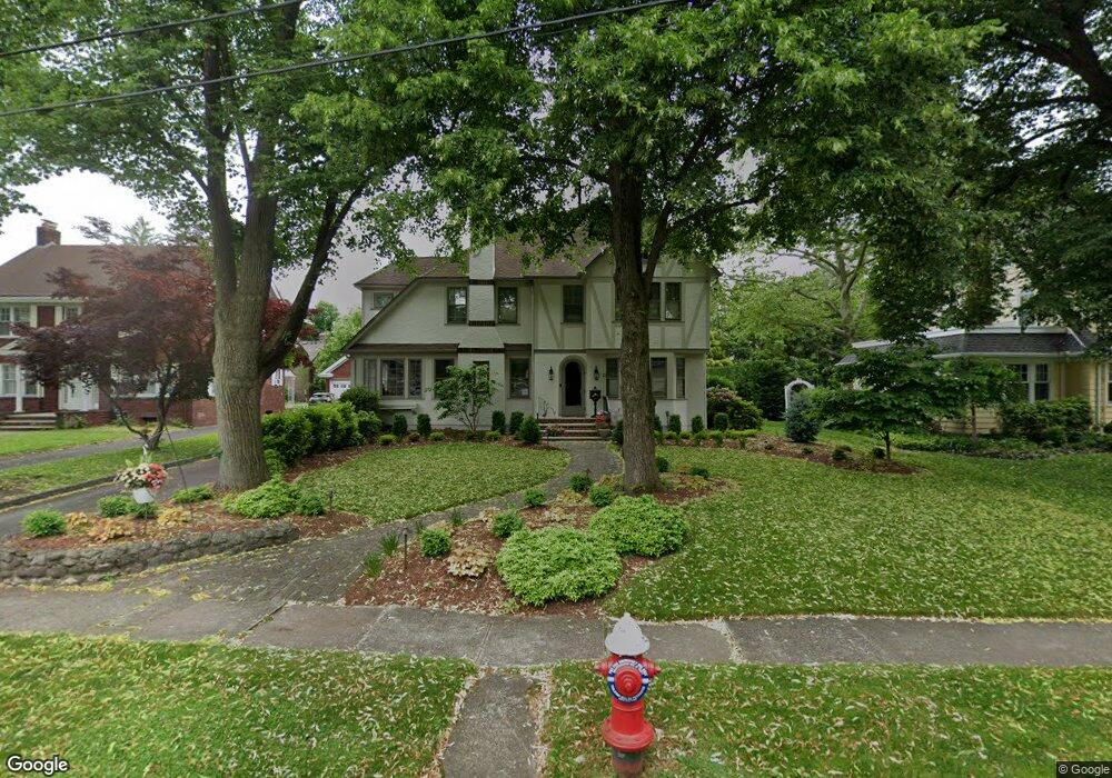
23 Hampton Rd Cranford, NJ 07016
Estimated Value: $946,000 - $1,207,000
Studio
--
Bath
--
Sq Ft
11,413
Sq Ft
About This Home
This home is located at 23 Hampton Rd, Cranford, NJ 07016 and is currently estimated at $1,067,166. 23 Hampton Rd is a home located in Union County with nearby schools including Cranford Sr High School and St Michael School.
Ownership History
Date
Name
Owned For
Owner Type
Purchase Details
Closed on
Feb 5, 2013
Sold by
Hunt and Robert L
Bought by
Hunt Robert L and Hunt Lisa C
Current Estimated Value
Purchase Details
Closed on
Aug 18, 1997
Sold by
Starr Rebecca M
Bought by
Hunt Robert L and Benn Lisa C
Home Financials for this Owner
Home Financials are based on the most recent Mortgage that was taken out on this home.
Original Mortgage
$250,000
Interest Rate
7.42%
Create a Home Valuation Report for This Property
The Home Valuation Report is an in-depth analysis detailing your home's value as well as a comparison with similar homes in the area
Home Values in the Area
Average Home Value in this Area
Purchase History
| Date | Buyer | Sale Price | Title Company |
|---|---|---|---|
| Hunt Robert L | -- | -- | |
| Hunt Robert L | $312,500 | -- |
Source: Public Records
Mortgage History
| Date | Status | Borrower | Loan Amount |
|---|---|---|---|
| Previous Owner | Hunt Robert L | $250,000 |
Source: Public Records
Tax History
| Year | Tax Paid | Tax Assessment Tax Assessment Total Assessment is a certain percentage of the fair market value that is determined by local assessors to be the total taxable value of land and additions on the property. | Land | Improvement |
|---|---|---|---|---|
| 2025 | $20,303 | $299,500 | $135,800 | $163,700 |
| 2024 | $19,968 | $299,500 | $135,800 | $163,700 |
| 2023 | $19,968 | $299,500 | $135,800 | $163,700 |
| 2022 | $19,803 | $299,500 | $135,800 | $163,700 |
| 2021 | $19,716 | $299,500 | $135,800 | $163,700 |
| 2020 | $19,653 | $299,500 | $135,800 | $163,700 |
| 2019 | $19,527 | $299,500 | $135,800 | $163,700 |
| 2018 | $19,174 | $299,500 | $135,800 | $163,700 |
| 2017 | $18,515 | $299,500 | $135,800 | $163,700 |
| 2016 | $17,841 | $299,500 | $135,800 | $163,700 |
| 2015 | $17,374 | $299,500 | $135,800 | $163,700 |
| 2014 | $17,018 | $274,500 | $135,800 | $138,700 |
Source: Public Records
Map
Nearby Homes
- 28 Hampton Rd
- 21 Spruce St
- 308 Edgar Ave
- 201 Maple Place
- 8 Venetia Ave
- 18 Springfield Ave Unit 3A
- 34 Columbia Ave
- 113 Columbia Ave
- 4 Sylvester St
- 684 Gallows Hill Rd
- 10 Madison Ave
- 33 Park Dr
- 103 High St
- 109 High St
- 49 Locust Dr
- 506 Lincoln Park E Unit 506
- 14 Pembrook Dr
- 116 Willow Ave
- 327 Roosevelt Ln
- 312 3rd Ave
- 21 Hampton Rd
- 25 Hampton Rd
- 27 Hampton Rd
- 506 Springfield Ave
- 9 Hampton Rd
- 508 Springfield Ave
- 22 Hampton Rd
- 504 Springfield Ave
- 20 Hampton Rd
- 18 Hampton Rd
- 29 Hampton Rd
- 512 Springfield Ave
- 14 Hampton Rd
- 30 Hampton Rd
- 7 Hampton Rd
- 2 Crescent Place
- 12 Hampton Rd
- 810 W End Place
- 509 Springfield Ave
- 507 Springfield Ave
Your Personal Tour Guide
Ask me questions while you tour the home.