23 Hemlock Ln Berwick, ME 03901
Estimated Value: $585,000 - $639,350
3
Beds
2
Baths
2,254
Sq Ft
$269/Sq Ft
Est. Value
About This Home
This home is located at 23 Hemlock Ln, Berwick, ME 03901 and is currently estimated at $606,088, approximately $268 per square foot. 23 Hemlock Ln is a home located in York County with nearby schools including Noble High School.
Ownership History
Date
Name
Owned For
Owner Type
Purchase Details
Closed on
Jan 14, 2005
Sold by
Botelho Kelli A and Plante Marc A
Bought by
Plante Kelli A and Plante Marc A
Current Estimated Value
Home Financials for this Owner
Home Financials are based on the most recent Mortgage that was taken out on this home.
Original Mortgage
$189,200
Interest Rate
5.81%
Mortgage Type
Purchase Money Mortgage
Create a Home Valuation Report for This Property
The Home Valuation Report is an in-depth analysis detailing your home's value as well as a comparison with similar homes in the area
Home Values in the Area
Average Home Value in this Area
Purchase History
| Date | Buyer | Sale Price | Title Company |
|---|---|---|---|
| Plante Kelli A | -- | -- |
Source: Public Records
Mortgage History
| Date | Status | Borrower | Loan Amount |
|---|---|---|---|
| Closed | Plante Kelli A | $189,200 |
Source: Public Records
Tax History Compared to Growth
Tax History
| Year | Tax Paid | Tax Assessment Tax Assessment Total Assessment is a certain percentage of the fair market value that is determined by local assessors to be the total taxable value of land and additions on the property. | Land | Improvement |
|---|---|---|---|---|
| 2024 | $7,200 | $577,400 | $143,600 | $433,800 |
| 2023 | $6,639 | $362,400 | $97,200 | $265,200 |
| 2022 | $6,257 | $343,400 | $97,200 | $246,200 |
| 2021 | $6,284 | $343,400 | $97,200 | $246,200 |
| 2020 | $6,648 | $343,400 | $97,200 | $246,200 |
| 2019 | $6,020 | $343,400 | $97,200 | $246,200 |
| 2018 | $6,016 | $341,800 | $91,700 | $250,100 |
| 2017 | $5,862 | $341,800 | $91,700 | $250,100 |
| 2016 | $5,449 | $334,300 | $91,700 | $242,600 |
| 2014 | $5,315 | $334,300 | $91,700 | $242,600 |
| 2013 | $5,366 | $334,300 | $91,700 | $242,600 |
Source: Public Records
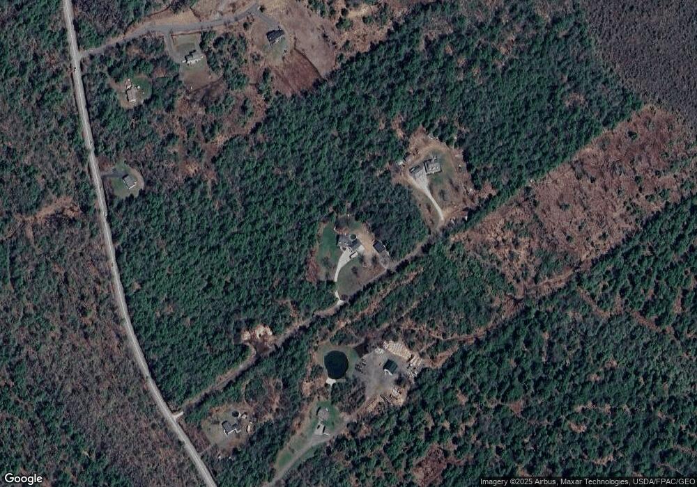
Map
Nearby Homes
- 309 Long Swamp Rd
- 39 Ali Pond Rd
- TBD Long Swamp Rd
- 33-10G Lakota Rd
- 128 Long Swamp Rd
- 578 Little River Rd
- 0 Old Ledge Rd
- 96 Little River Rd
- 84 Little River Rd
- 214 Center Rd
- 514 Upper Guinea Rd
- 272 Hubbard Rd
- 471 Hubbard Rd
- 250 Lower Cross Rd
- 27 Pond View Dr
- 47C Spirit Wind Farm Rd
- 262 Little River Rd
- MR7L96C Scarlet Way
- Lot 8 Italo Ln
- 33 Moose Ln
- 31 Hemlock Ln
- 274 Long Swamp Rd
- 260 Long Swamp Rd
- 306 Long Swamp Rd
- 5 Long Swamp Rd
- 00 Long Swamp Rd Unit Lot 1
- Lot 4 Off Long Swamp Rd
- 312 Long Swamp Rd
- TBB Long Swamp Rd
- TBB Long Swamp Rd Unit Lot 3
- lot 0 Long Swamp Rd
- TBD Independence Dr
- 6 Independence Dr
- 4 Independence Dr
- 265 Long Swamp Rd
- 310 Long Swamp Rd
- 278 Long Swamp Rd
- Lot 29D Long Swamp Rd
- 229 Long Swamp Rd
- 261 Long Swamp Rd