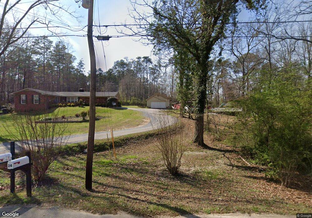
23 Hillside Dr Rockmart, GA 30153
Estimated Value: $280,000 - $340,000
3
Beds
2
Baths
1,770
Sq Ft
$174/Sq Ft
Est. Value
About This Home
This home is located at 23 Hillside Dr, Rockmart, GA 30153 and is currently estimated at $308,661, approximately $174 per square foot. 23 Hillside Dr is a home located in Polk County with nearby schools including Rockmart Middle School.
Ownership History
Date
Name
Owned For
Owner Type
Purchase Details
Closed on
Nov 29, 2014
Sold by
Carter Carolyn J
Bought by
Carter Carolyn J
Current Estimated Value
Purchase Details
Closed on
Sep 26, 2012
Sold by
Glenn Jon
Bought by
Carter Carolyn J
Purchase Details
Closed on
Jan 11, 2012
Sold by
Carter Carolyn J
Bought by
Carter Carolyn J
Purchase Details
Closed on
Sep 14, 2010
Sold by
Carter Carolyn J
Bought by
Carter Carolyn J
Purchase Details
Closed on
May 3, 1976
Sold by
Cornell Bernard W
Bought by
Carter Jerry T
Purchase Details
Closed on
Jun 21, 1973
Sold by
Crawford Frank O
Bought by
Cornell Bernard W
Purchase Details
Closed on
Jan 1, 1901
Bought by
Crawford Frank O
Create a Home Valuation Report for This Property
The Home Valuation Report is an in-depth analysis detailing your home's value as well as a comparison with similar homes in the area
Home Values in the Area
Average Home Value in this Area
Purchase History
| Date | Buyer | Sale Price | Title Company |
|---|---|---|---|
| Carter Carolyn J | -- | -- | |
| Carter Carolyn J | -- | -- | |
| Carter Carolyn J | -- | -- | |
| Carter Carolyn J | -- | -- | |
| Carter Jerry T | -- | -- | |
| Cornell Bernard W | -- | -- | |
| Crawford Frank O | -- | -- |
Source: Public Records
Tax History Compared to Growth
Tax History
| Year | Tax Paid | Tax Assessment Tax Assessment Total Assessment is a certain percentage of the fair market value that is determined by local assessors to be the total taxable value of land and additions on the property. | Land | Improvement |
|---|---|---|---|---|
| 2024 | $2,000 | $110,410 | $8,000 | $102,410 |
| 2023 | $1,556 | $78,946 | $8,000 | $70,946 |
| 2022 | $1,369 | $71,080 | $8,000 | $63,080 |
| 2021 | $1,387 | $71,080 | $8,000 | $63,080 |
| 2020 | $1,390 | $71,080 | $8,000 | $63,080 |
| 2019 | $1,198 | $57,949 | $9,000 | $48,949 |
| 2018 | $1,202 | $56,976 | $9,000 | $47,976 |
| 2017 | $1,183 | $56,976 | $9,000 | $47,976 |
| 2016 | $1,183 | $56,976 | $9,000 | $47,976 |
| 2015 | $1,185 | $57,002 | $9,000 | $48,002 |
| 2014 | $1,169 | $56,144 | $8,142 | $48,002 |
Source: Public Records
Map
Nearby Homes
- 18 Hillside Dr
- 184 Morgan Ln
- 0 Morgan Valley Rd Unit 25693839
- 0 Morgan Valley Rd Unit 10563202
- 0 Morgan Valley Rd Unit 7614571
- 332 Stringer Rd
- 155 Government Farm Rd
- 865 Morgan Valley Rd
- 107 Main Line Rd
- 11 Lee St
- 1714 Cedartown Hwy
- 1039 Old Cedartown Rd
- 92 Autumn Path
- 0 Pine Mountain St Unit 10620510
- 0 Pine Mountain St Unit 10620492
- 93 Clay Rd
- 1 Pine Mountain Rd
- 831 Government Farm Rd
- 780 Government Farm Rd
- 740 Calloway Dr
- 24 Hillside Dr
- 25 Hillside Dr
- 430 Horseshoe Cir
- 22 Hillside Dr
- 428 Horseshoe Cir
- 26 Hillside Dr
- 485 Baldwin Rd
- 0 Hillside Dr
- 0 Hillside Dr Unit 10241883
- 0 Hillside Dr Unit 7325062
- 0 Hillside Dr Unit 8125839
- 0 Hillside Dr Unit 8276047
- 0 Hillside Dr Unit 6852876
- 0 Hillside Dr Unit 8942065
- 0 Hillside Dr Unit 5923805
- 27 Hillside Dr
- 113 Burton Dr
- 414 Horseshoe Cir
- 150 Burton Dr
- 20 Hillside Dr