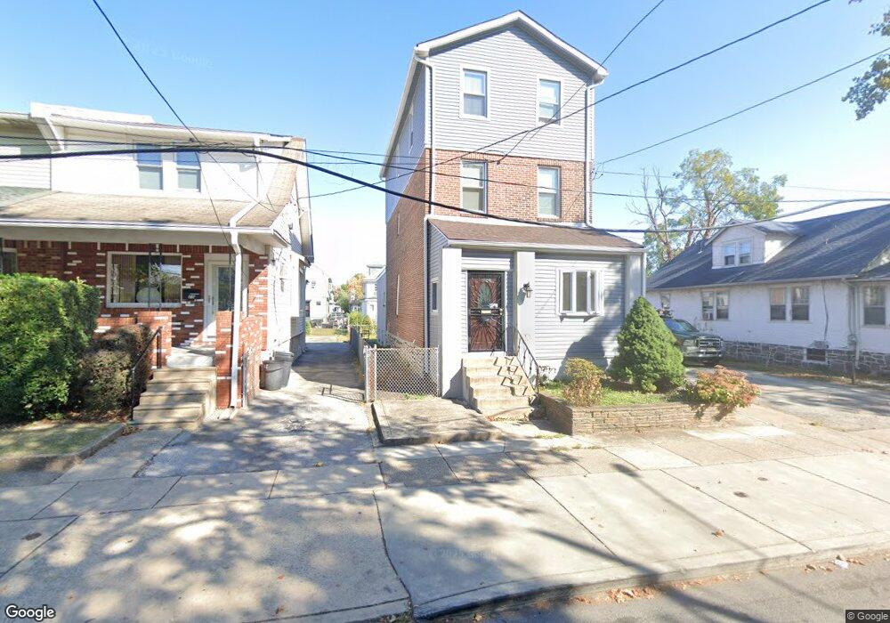
23 Hirst Ave Lansdowne, PA 19050
Estimated Value: $291,000 - $430,000
4
Beds
4
Baths
2,615
Sq Ft
$144/Sq Ft
Est. Value
About This Home
This home is located at 23 Hirst Ave, Lansdowne, PA 19050 and is currently estimated at $376,460, approximately $143 per square foot. 23 Hirst Ave is a home located in Delaware County with nearby schools including East Lansdowne Elementary School, Penn Wood Middle School, and Penn Wood High School - Cypress Street Campus.
Ownership History
Date
Name
Owned For
Owner Type
Purchase Details
Closed on
Jun 7, 2000
Sold by
Hud
Bought by
Damon Anthony
Current Estimated Value
Home Financials for this Owner
Home Financials are based on the most recent Mortgage that was taken out on this home.
Original Mortgage
$34,000
Interest Rate
8.12%
Purchase Details
Closed on
Mar 4, 1999
Sold by
Mellon Mtg Company
Bought by
Hud
Purchase Details
Closed on
Jan 14, 1999
Sold by
Ransome Carolyn and Pfeiffer Barbara B
Bought by
Mellon Mtg Company
Create a Home Valuation Report for This Property
The Home Valuation Report is an in-depth analysis detailing your home's value as well as a comparison with similar homes in the area
Home Values in the Area
Average Home Value in this Area
Purchase History
| Date | Buyer | Sale Price | Title Company |
|---|---|---|---|
| Damon Anthony | $42,612 | Security Search & Abstract C | |
| Hud | -- | -- | |
| Mellon Mtg Company | -- | -- |
Source: Public Records
Mortgage History
| Date | Status | Borrower | Loan Amount |
|---|---|---|---|
| Closed | Damon Anthony | $34,000 |
Source: Public Records
Tax History Compared to Growth
Tax History
| Year | Tax Paid | Tax Assessment Tax Assessment Total Assessment is a certain percentage of the fair market value that is determined by local assessors to be the total taxable value of land and additions on the property. | Land | Improvement |
|---|---|---|---|---|
| 2025 | $8,738 | $204,490 | $50,110 | $154,380 |
| 2024 | $8,738 | $204,490 | $50,110 | $154,380 |
| 2023 | $6,533 | $204,490 | $50,110 | $154,380 |
| 2022 | $7,881 | $204,490 | $50,110 | $154,380 |
| 2021 | $11,750 | $204,490 | $50,110 | $154,380 |
| 2020 | $5,835 | $88,600 | $21,670 | $66,930 |
| 2019 | $5,738 | $88,600 | $21,670 | $66,930 |
| 2018 | $5,662 | $88,600 | $0 | $0 |
| 2017 | $5,373 | $88,600 | $0 | $0 |
| 2016 | $486 | $88,600 | $0 | $0 |
| 2015 | $486 | $88,600 | $0 | $0 |
| 2014 | $486 | $88,600 | $0 | $0 |
Source: Public Records
Map
Nearby Homes
- 608 Pembroke Ave
- 230 Wynnewood Ave
- 226 E Greenwood Ave
- 603 Penn St
- 209 E Greenwood Ave
- 319 E Essex Ave
- 317 E Essex Ave
- 315 E Essex Ave
- 75 E Stewart Ave
- 407 Church Ln
- 32 N Wycombe Ave
- 435 Bonsall Ave
- 178 N Union Ave
- 7026 Atlantic Ave
- 192 Fairview Ave
- 37 E Stratford Ave
- 7129 Seaford Rd
- 408 S Union Ave
- 7123 Seaford Rd
- 503 Bonsall Ave