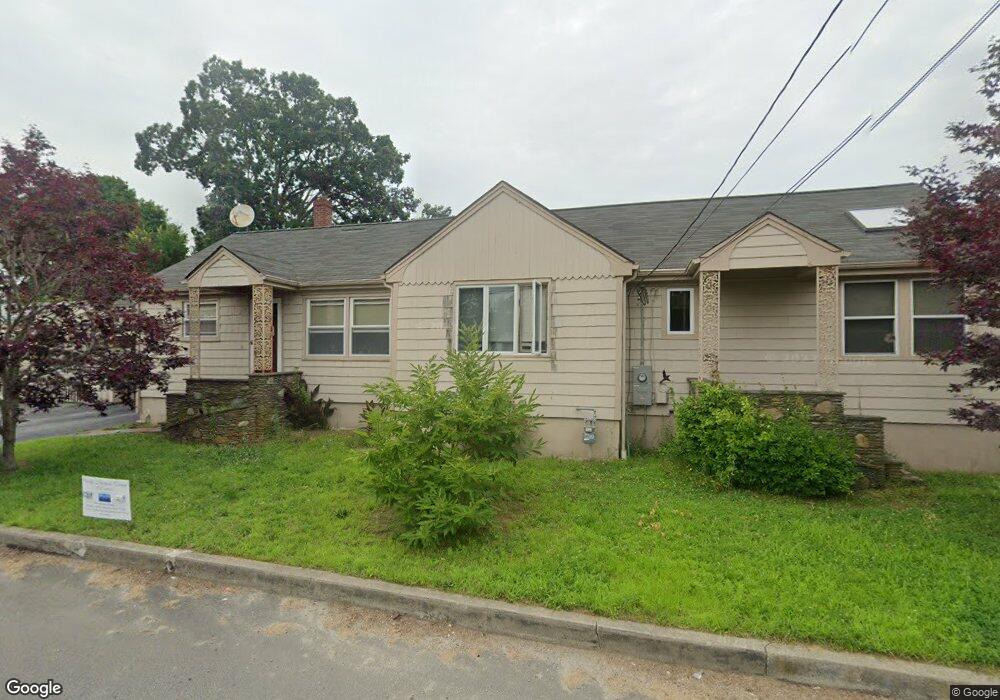
23 Homestead Ave Acushnet, MA 02743
Coury Heights NeighborhoodEstimated Value: $432,050 - $562,000
--
Bed
1
Bath
1,404
Sq Ft
$348/Sq Ft
Est. Value
About This Home
This home is located at 23 Homestead Ave, Acushnet, MA 02743 and is currently estimated at $489,263, approximately $348 per square foot. 23 Homestead Ave is a home located in Bristol County with nearby schools including Acushnet Elementary School, Albert F Ford Middle School, and Alma del Mar Charter School.
Ownership History
Date
Name
Owned For
Owner Type
Purchase Details
Closed on
Nov 10, 1999
Sold by
Lavallee Maurice R and Lavallee Diane D
Bought by
Farizo Jorge B and Farizo Rosa
Current Estimated Value
Purchase Details
Closed on
Jun 19, 1997
Sold by
Cicchesea Donna J
Bought by
Lavallee Maurice R and Lavallee Diane D
Purchase Details
Closed on
Jul 28, 1995
Sold by
Millette Dennis J and Millette K B
Bought by
Cicchese Donna J
Purchase Details
Closed on
Mar 20, 1990
Sold by
Tomkiewicz Fred
Bought by
K&D Rt
Create a Home Valuation Report for This Property
The Home Valuation Report is an in-depth analysis detailing your home's value as well as a comparison with similar homes in the area
Home Values in the Area
Average Home Value in this Area
Purchase History
| Date | Buyer | Sale Price | Title Company |
|---|---|---|---|
| Farizo Jorge B | $179,000 | -- | |
| Lavallee Maurice R | $145,000 | -- | |
| Cicchese Donna J | $143,800 | -- | |
| K&D Rt | $162,000 | -- | |
| K & D Rt | $162,000 | -- |
Source: Public Records
Mortgage History
| Date | Status | Borrower | Loan Amount |
|---|---|---|---|
| Open | K & D Rt | $262,500 | |
| Closed | K & D Rt | $261,000 |
Source: Public Records
Tax History Compared to Growth
Tax History
| Year | Tax Paid | Tax Assessment Tax Assessment Total Assessment is a certain percentage of the fair market value that is determined by local assessors to be the total taxable value of land and additions on the property. | Land | Improvement |
|---|---|---|---|---|
| 2025 | $39 | $360,100 | $99,400 | $260,700 |
| 2024 | $3,703 | $324,500 | $95,100 | $229,400 |
| 2023 | $3,598 | $299,800 | $86,500 | $213,300 |
| 2022 | $3,563 | $268,500 | $82,100 | $186,400 |
| 2021 | $3,417 | $247,100 | $82,100 | $165,000 |
| 2020 | $3,445 | $247,100 | $82,100 | $165,000 |
| 2019 | $3,346 | $236,000 | $82,100 | $153,900 |
| 2018 | $3,220 | $223,300 | $82,100 | $141,200 |
| 2017 | $3,109 | $215,300 | $82,100 | $133,200 |
| 2016 | $3,015 | $207,500 | $82,100 | $125,400 |
| 2015 | $2,850 | $199,600 | $82,100 | $117,500 |
Source: Public Records
Map
Nearby Homes
- 65 Armsby St
- 6 Middlefield Place
- 9 Middlefield Place
- 187 Tarkiln Hill Rd
- 6 Illinois St
- 263 Hersom St
- 11 Saucier St
- 4 Tisbury St
- 27 Jean St
- 203 S Main St
- 506 Hawes St
- 52 Pershing Ave
- 11 Moynan St
- 0 Church Dutton & Chaffee Unit 73371719
- 12 Hayes St Unit 1
- 14 Hayes St Unit 1
- 23 Rock St
- 957 Glen St
- 22 Rock St
- 400 Oliver St