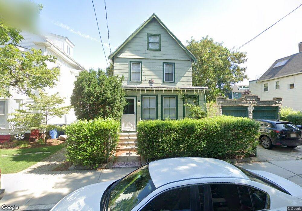
23 Hubbard Ave Cambridge, MA 02140
Neighborhood Nine NeighborhoodEstimated Value: $1,534,216 - $2,061,000
4
Beds
2
Baths
1,722
Sq Ft
$1,057/Sq Ft
Est. Value
About This Home
This home is located at 23 Hubbard Ave, Cambridge, MA 02140 and is currently estimated at $1,820,804, approximately $1,057 per square foot. 23 Hubbard Ave is a home located in Middlesex County with nearby schools including Benjamin Banneker Charter Public School, Cambridge Montessori School, and Cambridge Friends School.
Ownership History
Date
Name
Owned For
Owner Type
Purchase Details
Closed on
Mar 14, 2023
Sold by
Hill Carol L
Bought by
Hubbard Intl T
Current Estimated Value
Purchase Details
Closed on
Oct 10, 1990
Sold by
Delaney Cheryl H
Bought by
Hill Kevin M
Create a Home Valuation Report for This Property
The Home Valuation Report is an in-depth analysis detailing your home's value as well as a comparison with similar homes in the area
Home Values in the Area
Average Home Value in this Area
Purchase History
| Date | Buyer | Sale Price | Title Company |
|---|---|---|---|
| Hubbard Intl T | -- | None Available | |
| Hill Kevin M | $171,000 | -- |
Source: Public Records
Mortgage History
| Date | Status | Borrower | Loan Amount |
|---|---|---|---|
| Previous Owner | Hill Kevin M | $142,450 | |
| Previous Owner | Hill Kevin M | $18,700 | |
| Previous Owner | Hill Kevin M | $18,000 |
Source: Public Records
Tax History Compared to Growth
Tax History
| Year | Tax Paid | Tax Assessment Tax Assessment Total Assessment is a certain percentage of the fair market value that is determined by local assessors to be the total taxable value of land and additions on the property. | Land | Improvement |
|---|---|---|---|---|
| 2025 | $7,619 | $1,199,900 | $833,000 | $366,900 |
| 2024 | $7,220 | $1,219,600 | $868,300 | $351,300 |
| 2023 | $6,985 | $1,191,900 | $888,000 | $303,900 |
| 2022 | $6,581 | $1,111,600 | $842,100 | $269,500 |
| 2021 | $6,356 | $1,086,500 | $824,200 | $262,300 |
| 2020 | $6,120 | $1,064,300 | $816,000 | $248,300 |
| 2019 | $5,570 | $937,700 | $708,000 | $229,700 |
| 2018 | $5,504 | $875,100 | $655,800 | $219,300 |
| 2017 | $5,453 | $840,200 | $626,000 | $214,200 |
| 2016 | $5,231 | $748,300 | $540,300 | $208,000 |
| 2015 | $4,778 | $611,000 | $424,800 | $186,200 |
| 2014 | $4,507 | $537,800 | $354,000 | $183,800 |
Source: Public Records
Map
Nearby Homes
- 24 Cambridge Terrace Unit 2
- 8 Cogswell Ave
- 86 Avon Hill St
- 24 Newell St
- 12 Rindge Ave Unit 1
- 1 Richdale Ave Unit 2
- 61 Bolton St Unit 304
- 273 Walden St Unit 2
- 7 Beech St Unit 319
- 22 Agassiz St
- 3 Arlington St Unit 52
- 43 Linnaean St Unit 42
- 147 Sherman St Unit 201
- 204 Garden St
- 84 Garden St
- 12-14 Gray Gardens W
- 18 Donnell St
- 179 Rindge Ave Unit 1
- 183 Rindge Ave Unit 1
- 32-40 White St
- 19 Hubbard Ave
- 25 Hubbard Ave
- 21 Hubbard Ave
- 29 Hubbard Ave
- 17 Hubbard Ave
- 142 Richdale Ave
- 142 Richdale Ave Unit 2
- 31 Hubbard Ave
- 148 Richdale Ave Unit 3
- 148 Richdale Ave Unit 2
- 148 Richdale Ave Unit 1
- 148 Richdale Ave Unit South
- 132 Richdale Ave
- 16 Hubbard Ave Unit 12
- 16 Hubbard Ave Unit 11
- 16 Hubbard Ave Unit 10
- 16 Hubbard Ave Unit 9
- 16 Hubbard Ave Unit 8
- 16 Hubbard Ave Unit 7
- 16 Hubbard Ave Unit 6