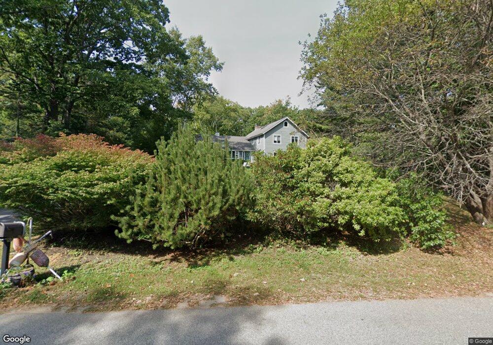
23 Hunts Point Rd Cape Elizabeth, ME 04107
Estimated Value: $1,108,000 - $1,929,000
4
Beds
3
Baths
2,592
Sq Ft
$571/Sq Ft
Est. Value
About This Home
This home is located at 23 Hunts Point Rd, Cape Elizabeth, ME 04107 and is currently estimated at $1,478,924, approximately $570 per square foot. 23 Hunts Point Rd is a home located in Cumberland County with nearby schools including Pond Cove Elementary School, Cape Elizabeth Middle School, and Cape Elizabeth High School.
Ownership History
Date
Name
Owned For
Owner Type
Purchase Details
Closed on
Jun 19, 2013
Sold by
Connolly Peter S
Bought by
Connolly Leslie B
Current Estimated Value
Create a Home Valuation Report for This Property
The Home Valuation Report is an in-depth analysis detailing your home's value as well as a comparison with similar homes in the area
Home Values in the Area
Average Home Value in this Area
Purchase History
| Date | Buyer | Sale Price | Title Company |
|---|---|---|---|
| Connolly Leslie B | -- | -- |
Source: Public Records
Tax History Compared to Growth
Tax History
| Year | Tax Paid | Tax Assessment Tax Assessment Total Assessment is a certain percentage of the fair market value that is determined by local assessors to be the total taxable value of land and additions on the property. | Land | Improvement |
|---|---|---|---|---|
| 2024 | $12,355 | $1,123,200 | $649,600 | $473,600 |
| 2023 | $27,378 | $1,225,500 | $649,600 | $575,900 |
| 2022 | $9,283 | $438,900 | $178,000 | $260,900 |
| 2021 | $8,892 | $438,900 | $178,000 | $260,900 |
| 2020 | $8,671 | $435,300 | $178,000 | $257,300 |
| 2019 | $8,567 | $435,300 | $178,000 | $257,300 |
| 2018 | $8,279 | $435,300 | $178,000 | $257,300 |
| 2017 | $7,835 | $435,300 | $178,000 | $257,300 |
| 2016 | $7,635 | $435,300 | $178,000 | $257,300 |
| 2015 | $7,348 | $435,300 | $178,000 | $257,300 |
| 2013 | $7,087 | $435,300 | $178,000 | $257,300 |
Source: Public Records
Map
Nearby Homes
- 12 Salt Spray Ln
- 202 Two Lights Rd
- 7 Dyer Ln
- 144 Two Lights Rd
- 7 Wabun Rd
- 10 Crescent View Ave
- 495 Ocean House Rd
- 4 Jewett Rd
- 27 Blue Meadow Ln Unit 27
- 25 Blue Meadow Ln Unit 25
- 22 Orchard Rd
- 9 Blue Meadow Ln Unit 9
- 1157 Shore Rd
- 3 Canter Ln
- 10 Wildwood Dr
- 7 Wildwood Dr
- 505 Mitchell Rd
- 10 Pheasant Hill Rd
- 00000 Shore Rd
- 1 Quarry Rd
- 21 Hunts Point Rd
- 25 Hunts Point Rd
- 19 Hunts Point Rd
- 24 Hunts Point Rd
- 27 Hunts Point Rd
- 28 Hunts Point Rd
- 22 Hunts Point Rd
- 17 Hunts Point Rd
- 30 Hunts Point Rd
- 16 Channel View Rd
- 20 Hunts Point Rd
- 29 Hunts Point Rd
- 14 Channel View Rd
- 5 Masefield Terrace
- 3 Masefield Terrace
- 15 Hunts Point Rd
- 18 Hunts Point Rd
- 31 Hunts Point Rd
- 4 Winding Way
- 2 Rugosa Way