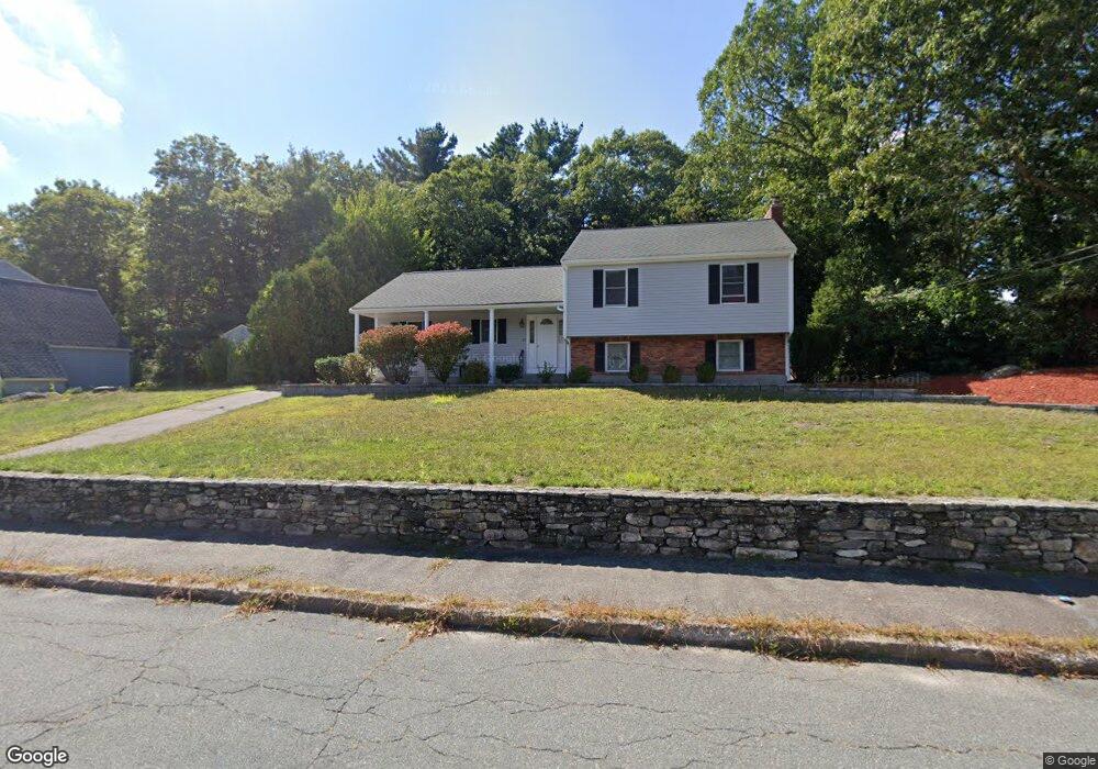
23 Inman Rd Weymouth, MA 02188
South Weymouth NeighborhoodEstimated Value: $731,950 - $821,000
3
Beds
2
Baths
1,600
Sq Ft
$483/Sq Ft
Est. Value
About This Home
This home is located at 23 Inman Rd, Weymouth, MA 02188 and is currently estimated at $772,988, approximately $483 per square foot. 23 Inman Rd is a home located in Norfolk County with nearby schools including Thomas V Nash, Abigail Adams Middle School, and Weymouth Middle School Chapman.
Ownership History
Date
Name
Owned For
Owner Type
Purchase Details
Closed on
Aug 13, 2007
Sold by
Cahill Karen M
Bought by
Quach Mai N and Roche Matthew J
Current Estimated Value
Home Financials for this Owner
Home Financials are based on the most recent Mortgage that was taken out on this home.
Original Mortgage
$333,000
Interest Rate
6.72%
Mortgage Type
Purchase Money Mortgage
Purchase Details
Closed on
Oct 25, 1996
Sold by
Kearns Joseph T and Kearns Linda
Bought by
Cahill Karen M
Create a Home Valuation Report for This Property
The Home Valuation Report is an in-depth analysis detailing your home's value as well as a comparison with similar homes in the area
Home Values in the Area
Average Home Value in this Area
Purchase History
| Date | Buyer | Sale Price | Title Company |
|---|---|---|---|
| Quach Mai N | $417,000 | -- | |
| Cahill Karen M | $190,000 | -- |
Source: Public Records
Mortgage History
| Date | Status | Borrower | Loan Amount |
|---|---|---|---|
| Open | Cahill Karen M | $306,936 | |
| Closed | Quach Mai N | $333,000 | |
| Previous Owner | Cahill Karen M | $214,000 |
Source: Public Records
Tax History Compared to Growth
Tax History
| Year | Tax Paid | Tax Assessment Tax Assessment Total Assessment is a certain percentage of the fair market value that is determined by local assessors to be the total taxable value of land and additions on the property. | Land | Improvement |
|---|---|---|---|---|
| 2025 | $6,983 | $691,400 | $246,800 | $444,600 |
| 2024 | $6,810 | $663,100 | $235,000 | $428,100 |
| 2023 | $6,419 | $614,300 | $217,600 | $396,700 |
| 2022 | $6,234 | $544,000 | $201,500 | $342,500 |
| 2021 | $5,683 | $484,100 | $201,500 | $282,600 |
| 2020 | $5,436 | $456,000 | $201,500 | $254,500 |
| 2019 | $5,304 | $437,600 | $193,800 | $243,800 |
| 2018 | $5,343 | $427,400 | $201,300 | $226,100 |
| 2017 | $5,198 | $405,800 | $191,800 | $214,000 |
| 2016 | $4,995 | $390,200 | $184,400 | $205,800 |
| 2015 | $4,796 | $371,800 | $184,400 | $187,400 |
| 2014 | $4,624 | $347,700 | $171,600 | $176,100 |
Source: Public Records
Map
Nearby Homes
- 255 West St
- 262 West St
- 92 Mercury St
- 655 Summer St
- 308 Forest St
- 16 Jay Rd
- 24 Fisher Rd
- 116 Belmont St
- 2 Mitchell Ln Unit B
- 501 Commerce Dr Unit 2310
- 501 Commerce Dr Unit 1111
- 501 Commerce Dr Unit 4206
- 501 Commerce Dr Unit 4308
- 501 Commerce Dr Unit 4306
- 68 Massapoag St Unit 7
- 200 Justin Dr Unit 3
- 441 Grove St
- 432 Grove St
- 27 Park Ave
- 972 Liberty St