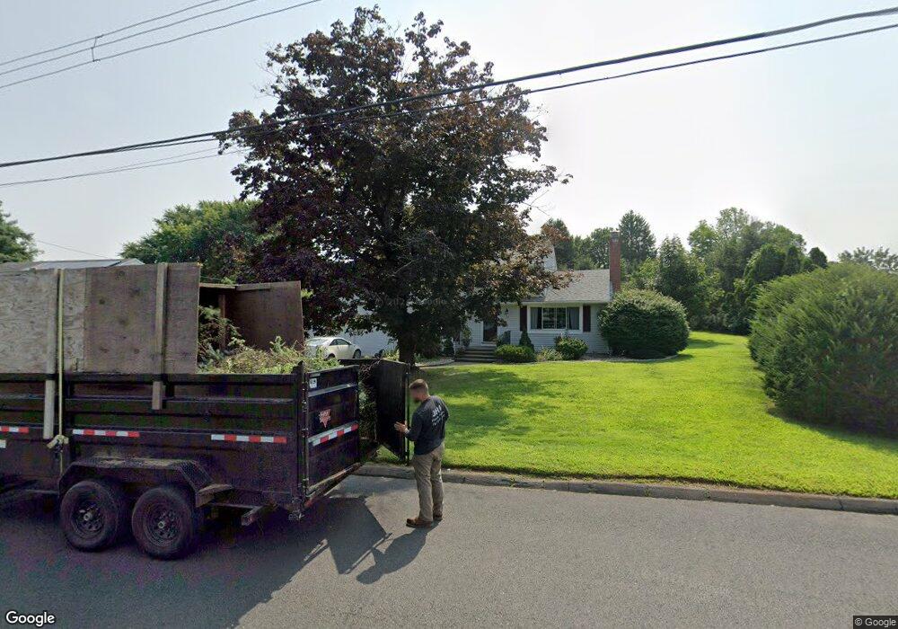
23 Knollwood Rd Rocky Hill, CT 06067
Estimated Value: $500,000 - $565,000
4
Beds
2
Baths
1,690
Sq Ft
$311/Sq Ft
Est. Value
About This Home
This home is located at 23 Knollwood Rd, Rocky Hill, CT 06067 and is currently estimated at $524,958, approximately $310 per square foot. 23 Knollwood Rd is a home located in Hartford County with nearby schools including Albert D. Griswold Middle School, Rocky Hill High School, and Corpus Christi School.
Ownership History
Date
Name
Owned For
Owner Type
Purchase Details
Closed on
Sep 16, 2009
Sold by
Lauritos Dolores L
Bought by
Carone Lori A
Current Estimated Value
Purchase Details
Closed on
May 30, 2007
Sold by
Bowne Joyce
Bought by
Carone Lori and Lauritos Dolores
Home Financials for this Owner
Home Financials are based on the most recent Mortgage that was taken out on this home.
Original Mortgage
$279,600
Interest Rate
6.24%
Create a Home Valuation Report for This Property
The Home Valuation Report is an in-depth analysis detailing your home's value as well as a comparison with similar homes in the area
Home Values in the Area
Average Home Value in this Area
Purchase History
| Date | Buyer | Sale Price | Title Company |
|---|---|---|---|
| Carone Lori A | -- | -- | |
| Carone Lori A | -- | -- | |
| Carone Lori | $349,500 | -- | |
| Carone Lori | $349,500 | -- |
Source: Public Records
Mortgage History
| Date | Status | Borrower | Loan Amount |
|---|---|---|---|
| Previous Owner | Carone Lori | $279,600 |
Source: Public Records
Tax History Compared to Growth
Tax History
| Year | Tax Paid | Tax Assessment Tax Assessment Total Assessment is a certain percentage of the fair market value that is determined by local assessors to be the total taxable value of land and additions on the property. | Land | Improvement |
|---|---|---|---|---|
| 2025 | $8,224 | $271,950 | $89,670 | $182,280 |
| 2024 | $7,933 | $271,950 | $89,670 | $182,280 |
| 2023 | $6,867 | $191,170 | $76,440 | $114,730 |
| 2022 | $6,599 | $191,170 | $76,440 | $114,730 |
| 2021 | $6,519 | $191,170 | $76,440 | $114,730 |
| 2020 | $6,423 | $191,170 | $76,440 | $114,730 |
| 2019 | $6,213 | $191,170 | $76,440 | $114,730 |
| 2018 | $6,024 | $185,920 | $68,740 | $117,180 |
| 2017 | $5,875 | $185,920 | $68,740 | $117,180 |
| 2016 | $5,764 | $185,920 | $68,740 | $117,180 |
| 2015 | $5,522 | $185,920 | $68,740 | $117,180 |
| 2014 | $5,522 | $185,920 | $68,740 | $117,180 |
Source: Public Records
Map
Nearby Homes
- 52 Sandy Dr
- 45 Sandy Dr
- 370 Hayes Rd
- 89 Gilbert Ave
- 180 Hayes Rd
- 285 Hang Dog Ln
- 887 Cloverdale Cir
- 268 Fox Hill Rd
- 32 Wright Rd
- 165 Falcon Ridge Rd
- 211 Fairlane Dr
- 221 Westmeadow Rd
- 15 Murphy Dr
- 0 Old Post Rd
- 431 Elm St
- 7 Pearl Ln
- 135 Old Common Rd
- 409 Carlton Ln Unit 409
- 18 Stone Hill Dr
- 127 2 Rod Hwy