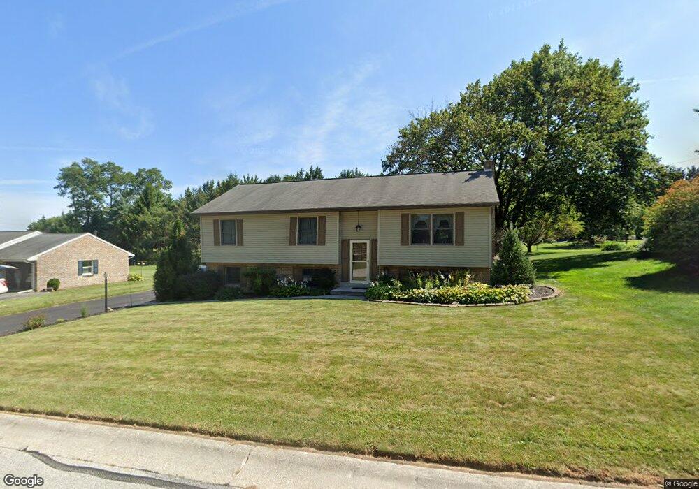
23 Laurel Dr Hanover, PA 17331
Estimated Value: $245,093 - $306,000
3
Beds
2
Baths
1,242
Sq Ft
$215/Sq Ft
Est. Value
About This Home
This home is located at 23 Laurel Dr, Hanover, PA 17331 and is currently estimated at $267,523, approximately $215 per square foot. 23 Laurel Dr is a home located in York County with nearby schools including South Western Senior High School and Hope Christian School Of Hanover.
Ownership History
Date
Name
Owned For
Owner Type
Purchase Details
Closed on
Dec 9, 2002
Sold by
Hud
Bought by
Powers Cory Scott
Current Estimated Value
Home Financials for this Owner
Home Financials are based on the most recent Mortgage that was taken out on this home.
Original Mortgage
$63,000
Interest Rate
6.09%
Mortgage Type
Purchase Money Mortgage
Purchase Details
Closed on
Feb 15, 2002
Sold by
National City Mtg Company
Bought by
Hud
Purchase Details
Closed on
Feb 15, 1999
Sold by
Burgee Bryan J and Burgee Lori A
Bought by
Burgee Bryan J
Home Financials for this Owner
Home Financials are based on the most recent Mortgage that was taken out on this home.
Original Mortgage
$84,206
Interest Rate
6.75%
Purchase Details
Closed on
Jul 1, 1977
Sold by
Staub Leo J and Staub Justine L
Bought by
Staub Leo J and Staub Justine L
Create a Home Valuation Report for This Property
The Home Valuation Report is an in-depth analysis detailing your home's value as well as a comparison with similar homes in the area
Home Values in the Area
Average Home Value in this Area
Purchase History
| Date | Buyer | Sale Price | Title Company |
|---|---|---|---|
| Powers Cory Scott | $48,000 | -- | |
| Hud | -- | -- | |
| Burgee Bryan J | -- | -- | |
| Staub Leo J | $47,500 | -- |
Source: Public Records
Mortgage History
| Date | Status | Borrower | Loan Amount |
|---|---|---|---|
| Previous Owner | Powers Cory Scott | $63,000 | |
| Previous Owner | Burgee Bryan J | $84,206 |
Source: Public Records
Tax History
| Year | Tax Paid | Tax Assessment Tax Assessment Total Assessment is a certain percentage of the fair market value that is determined by local assessors to be the total taxable value of land and additions on the property. | Land | Improvement |
|---|---|---|---|---|
| 2025 | $4,334 | $128,620 | $40,970 | $87,650 |
| 2024 | $4,334 | $128,620 | $40,970 | $87,650 |
| 2023 | $4,257 | $128,620 | $40,970 | $87,650 |
| 2022 | $4,166 | $128,620 | $40,970 | $87,650 |
| 2021 | $3,938 | $128,620 | $40,970 | $87,650 |
| 2020 | $3,938 | $128,620 | $40,970 | $87,650 |
| 2019 | $3,862 | $128,620 | $40,970 | $87,650 |
| 2018 | $3,811 | $128,620 | $40,970 | $87,650 |
| 2017 | $3,724 | $128,620 | $40,970 | $87,650 |
| 2016 | $0 | $128,620 | $40,970 | $87,650 |
| 2015 | -- | $128,620 | $40,970 | $87,650 |
| 2014 | -- | $128,620 | $40,970 | $87,650 |
Source: Public Records
Map
Nearby Homes
- 70 Laurel Dr
- 2208 Grandview Rd
- 206 Hall Dr
- 116 Ruel Ave
- 225 Bragg Cir
- 29 Meadowview Dr
- 76 Coop Ln
- 101 Overlook Dr
- 1068 Grandview Rd
- 48 Colonial Dr
- 44 Colonial Dr
- 517 Charles Ave
- 421 Charles Ave
- 917 Baltimore St
- 23 Oneill Ave
- 12 Oneill Ave
- 927 S Franklin St
- 84 Lakeview Cir
- 819 8191/2 York St
- 150 Mumma Ave
Your Personal Tour Guide
Ask me questions while you tour the home.