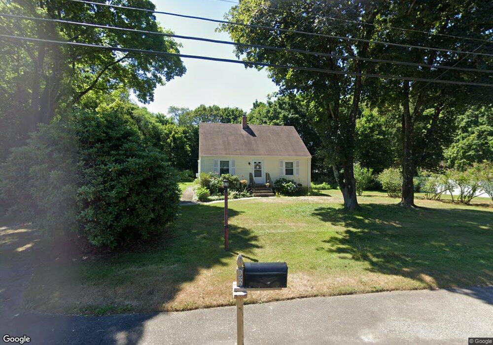
23 Ledge Rd Seekonk, MA 02771
Estimated Value: $450,360 - $482,000
4
Beds
1
Bath
1,369
Sq Ft
$338/Sq Ft
Est. Value
About This Home
This home is located at 23 Ledge Rd, Seekonk, MA 02771 and is currently estimated at $462,590, approximately $337 per square foot. 23 Ledge Rd is a home located in Bristol County with nearby schools including Seekonk High School, St Margaret School, and The Wolf School.
Ownership History
Date
Name
Owned For
Owner Type
Purchase Details
Closed on
Jan 28, 2002
Sold by
Rupert Linda M
Bought by
Baker Shirley D
Current Estimated Value
Home Financials for this Owner
Home Financials are based on the most recent Mortgage that was taken out on this home.
Original Mortgage
$70,000
Outstanding Balance
$28,985
Interest Rate
7.08%
Mortgage Type
Purchase Money Mortgage
Estimated Equity
$433,605
Create a Home Valuation Report for This Property
The Home Valuation Report is an in-depth analysis detailing your home's value as well as a comparison with similar homes in the area
Home Values in the Area
Average Home Value in this Area
Purchase History
| Date | Buyer | Sale Price | Title Company |
|---|---|---|---|
| Baker Shirley D | $65,000 | -- |
Source: Public Records
Mortgage History
| Date | Status | Borrower | Loan Amount |
|---|---|---|---|
| Open | Baker Shirley D | $70,000 |
Source: Public Records
Tax History
| Year | Tax Paid | Tax Assessment Tax Assessment Total Assessment is a certain percentage of the fair market value that is determined by local assessors to be the total taxable value of land and additions on the property. | Land | Improvement |
|---|---|---|---|---|
| 2025 | $4,297 | $347,900 | $156,100 | $191,800 |
| 2024 | $4,136 | $334,900 | $156,100 | $178,800 |
| 2023 | $3,887 | $296,500 | $139,500 | $157,000 |
| 2022 | $3,592 | $269,300 | $135,200 | $134,100 |
| 2021 | $3,326 | $245,100 | $114,100 | $131,000 |
| 2020 | $3,185 | $241,800 | $114,100 | $127,700 |
| 2019 | $3,097 | $237,100 | $114,100 | $123,000 |
| 2018 | $2,834 | $212,300 | $110,000 | $102,300 |
| 2017 | $2,769 | $205,700 | $110,000 | $95,700 |
| 2016 | $2,749 | $205,000 | $110,000 | $95,000 |
| 2015 | $2,679 | $202,500 | $110,000 | $92,500 |
Source: Public Records
Map
Nearby Homes
- 224 Centre St
- 23 Morra Way
- 0 Milton St Unit 72633661
- 296 Fall River Ave
- 702 Arcade Ave
- 0 Arcade Ave Unit 73446971
- 0 Newman Ave Rear
- 14 Field St
- 44 Hope St
- 54 Raymond St
- 37 Larchmere Dr
- 136 King Philip Rd
- 56 Irving Ave
- 44 Charles St
- 40 Weeden Ave
- 58 Swan St
- 125 Roger Williams Ave
- 71 Bent Rd
- 2 Riverwoods Ct
- 86 Woodward Ave
Your Personal Tour Guide
Ask me questions while you tour the home.