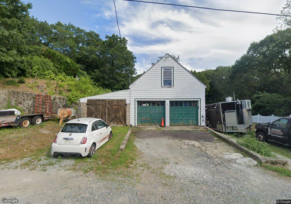
23 Lewis St Saugus, MA 01906
Cliftondale NeighborhoodEstimated Value: $528,000 - $742,000
2
Beds
2
Baths
1,556
Sq Ft
$399/Sq Ft
Est. Value
About This Home
This home is located at 23 Lewis St, Saugus, MA 01906 and is currently estimated at $621,511, approximately $399 per square foot. 23 Lewis St is a home located in Essex County with nearby schools including Saugus High School, Pioneer Charter School Of Science II, and Sacred Heart School.
Ownership History
Date
Name
Owned For
Owner Type
Purchase Details
Closed on
Sep 5, 2025
Sold by
L R
Bought by
Fjl Investment Llc
Current Estimated Value
Home Financials for this Owner
Home Financials are based on the most recent Mortgage that was taken out on this home.
Original Mortgage
$505,000
Outstanding Balance
$504,126
Interest Rate
6.74%
Mortgage Type
Purchase Money Mortgage
Estimated Equity
$117,385
Purchase Details
Closed on
Apr 29, 2025
Sold by
Iantosca Antonio and Iantosca Geraldina
Bought by
Iantosca Ft and Iantosca
Purchase Details
Closed on
Mar 12, 2025
Sold by
Dufresne Raymond L
Bought by
L R
Purchase Details
Closed on
Oct 9, 2001
Sold by
Randall Tr and Bishop
Bought by
Iantosca Antonio and Iantosca Geraldina
Create a Home Valuation Report for This Property
The Home Valuation Report is an in-depth analysis detailing your home's value as well as a comparison with similar homes in the area
Home Values in the Area
Average Home Value in this Area
Purchase History
| Date | Buyer | Sale Price | Title Company |
|---|---|---|---|
| Fjl Investment Llc | $518,000 | -- | |
| Fjl Investment Llc | $518,000 | -- | |
| Iantosca Ft | -- | None Available | |
| Iantosca Ft | -- | None Available | |
| L R | -- | None Available | |
| L R | -- | None Available | |
| Iantosca Antonio | $290,000 | -- | |
| Iantosca Antonio | $290,000 | -- |
Source: Public Records
Mortgage History
| Date | Status | Borrower | Loan Amount |
|---|---|---|---|
| Open | Fjl Investment Llc | $505,000 | |
| Closed | Fjl Investment Llc | $505,000 | |
| Previous Owner | Iantosca Antonio | $11,000 |
Source: Public Records
Tax History Compared to Growth
Tax History
| Year | Tax Paid | Tax Assessment Tax Assessment Total Assessment is a certain percentage of the fair market value that is determined by local assessors to be the total taxable value of land and additions on the property. | Land | Improvement |
|---|---|---|---|---|
| 2025 | $6,412 | $600,400 | $304,200 | $296,200 |
| 2024 | $6,080 | $570,900 | $286,800 | $284,100 |
| 2023 | $5,752 | $510,800 | $252,100 | $258,700 |
| 2022 | $5,489 | $457,000 | $231,200 | $225,800 |
| 2021 | $5,152 | $417,500 | $200,800 | $216,700 |
| 2020 | $4,893 | $410,500 | $191,200 | $219,300 |
| 2019 | $4,469 | $366,900 | $173,800 | $193,100 |
| 2018 | $3,916 | $338,200 | $168,600 | $169,600 |
| 2017 | $3,736 | $310,000 | $157,300 | $152,700 |
| 2016 | $3,167 | $259,600 | $157,100 | $102,500 |
| 2015 | $2,971 | $247,200 | $149,600 | $97,600 |
| 2014 | $3,043 | $262,100 | $149,600 | $112,500 |
Source: Public Records
Map
Nearby Homes
- 33 Springdale Ave
- 5 Springdale Ave
- 17 Elaine Ave
- 9 Oakwood Ave
- 5 Stanley Terrace
- 22 Laconia Ave
- 18 Nason Rd
- 12 Seagirt Ave
- 62 Chestnut St Unit 4
- 62 Chestnut St Unit 2
- 483 Central St Unit A
- 22 Seagirt Ave
- 9 Douglas Rd
- 24 Ballard St
- 4 Foss Ave
- 0 Hampton St
- 431 Central St
- 6 Sim Rd Unit 1
- 41-43 Seagirt Ave
- 44 Ballard St
- 27 Lewis St
- 39 Springdale Ave
- 45 Springdale Ave
- 26 Lewis St
- 18 Lewis St
- 49 Springdale Ave
- 7 Grandview Park
- 11 Lewis St
- 40 Springdale Ave
- 55 Westland Ave
- 16 Lewis St
- 38 Springdale Ave
- 35 Springdale Ave
- 10 Glendale Ave
- 12 Glendale Ave
- 50 Springdale Ave
- 50 Westland Ave
- 36 Springdale Ave
- 53 Westland Ave
- 25 Pratt St