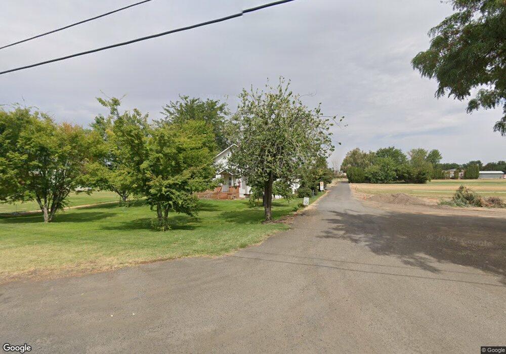
23 Lois Ln Walla Walla, WA 99362
Estimated Value: $503,000 - $615,250
3
Beds
2
Baths
2,707
Sq Ft
$201/Sq Ft
Est. Value
About This Home
This home is located at 23 Lois Ln, Walla Walla, WA 99362 and is currently estimated at $543,313, approximately $200 per square foot. 23 Lois Ln is a home located in Walla Walla County with nearby schools including Davis Elementary School, John Sager Middle School, and Rogers Adventist School.
Ownership History
Date
Name
Owned For
Owner Type
Purchase Details
Closed on
Apr 13, 2016
Sold by
Brock Preston Pete and Brock Laura Marie
Bought by
Brock David Preston
Current Estimated Value
Create a Home Valuation Report for This Property
The Home Valuation Report is an in-depth analysis detailing your home's value as well as a comparison with similar homes in the area
Purchase History
| Date | Buyer | Sale Price | Title Company |
|---|---|---|---|
| Brock David Preston | -- | None Available |
Source: Public Records
Tax History
| Year | Tax Paid | Tax Assessment Tax Assessment Total Assessment is a certain percentage of the fair market value that is determined by local assessors to be the total taxable value of land and additions on the property. | Land | Improvement |
|---|---|---|---|---|
| 2025 | $7,059 | $494,520 | $137,500 | $357,020 |
| 2024 | $6,745 | $462,060 | $137,500 | $324,560 |
| 2023 | $6,745 | $462,060 | $137,500 | $324,560 |
| 2022 | $6,667 | $462,060 | $137,500 | $324,560 |
| 2021 | $6,659 | $398,270 | $86,900 | $311,370 |
| 2020 | $6,616 | $357,660 | $86,900 | $270,760 |
| 2019 | $5,986 | $357,660 | $86,900 | $270,760 |
| 2018 | $5,242 | $322,340 | $86,900 | $235,440 |
| 2017 | $3,851 | $243,860 | $86,900 | $156,960 |
| 2016 | $3,615 | $243,860 | $86,900 | $156,960 |
| 2015 | $3,649 | $217,900 | $86,900 | $131,000 |
| 2014 | -- | $217,900 | $86,900 | $131,000 |
| 2013 | -- | $195,000 | $86,900 | $108,100 |
Source: Public Records
Map
Nearby Homes
- 589 Criscola Ave
- 1019 NE Empire St
- 976 NE Dawson St
- 923 NE Belroy St
- 0 4 & 5 Silverstone Dr
- 0 2 & 3 Silverstone Dr
- 914 & 928 NE Rose St
- 160 NE Rose St
- 278 NE Deccio Rd
- 817 NE Bunky Ln
- 114 NE Cedar Ave
- 66 Jade St
- 305 NE A St
- 32 NE Tremont Dr
- 1595 Heritage Rd
- 1331 W Pine St Unit 25
- 1331 W Pine St Unit 36
- 20 NE Alpine Dr
- 40 NW B St
- 22 NW B St
- 321 Electric Ave
- 257 Electric Ave
- 230 Electric Ave
- 551 Hatch St
- 90 Lois Ln
- 216 Electric Ave
- 219 Electric Ave
- 149 Lois Ln
- 197 Electric Ave
- 785 NE Dawson St
- 229 Electric Ave
- 576 NE Dawson St
- 907 NE Empire St
- 177 Electric Ave
- 741 NE Dawson St
- 909 NE Empire St
- 711 NE Dawson St
- 821 NE Dawson St
- 631 NE Dawson St
- 0 Electric Ave
Your Personal Tour Guide
Ask me questions while you tour the home.